Lindley G. Cook 4-H Camp
Campground
Campground · 1.6 mi from the trail
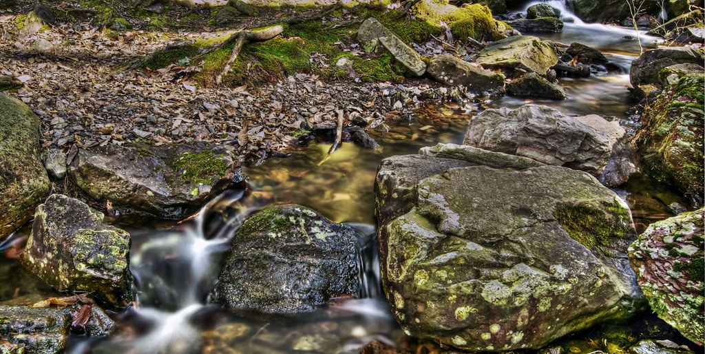 Photo: j-dub1980(THANK YOU FOR 100k+ Views), CC BY-SA 2.0 (via Flickr)
Red Maple Trail is a 4.9-mile point-to-point hike in Stokes State Forest in northern New Jersey, managed by the State Department of Natural Resources. It is rated easy, with a one-way elevation gain of 764 feet. The trail runs from a low point of 733 feet to a high of 1,142 feet, and its steepest stretch comes at about 3.7 miles in, where the grade reaches 41 percent. The route is back-loaded, meaning the climb is steeper in the second half. Snow is typical from December through February, and typical averages from a nearby weather station show September highs around 74°F and lows near 51°F, making it a comfortable month for a visit. Bikes and horses are both allowed. The Steffen Trail starts just 0.1 mile away, and Jacobs Ladder Trail, Acropolis Trail and Stoll Trail are all within about a mile and a half.
Lindley G. Cook 4-H Camp
Campground
Gyp's Tavern
Bar
 If it rainsZeete, CC BY-SA 4.0 · Wikimedia Commons
Zinc mine and museum in Ogdensburg, New Jersey
Places © OpenStreetMap contributors · Photos: Zeete, CC BY-SA 4.0 (commons)
More in HackettstownBest months: April and June–October. Best months have typical highs of 55–85 °F, lows of 30 °F or warmer (32 °F where the station doesn't record snow), at most one snowy day and no more than 12 wet days.
Jan
35° / 17°
11 wet · 5 snow
Feb
38° / 18°
9 wet · 5 snow
Mar
47° / 25°
11 wet · 3 snow
Apr
60° / 36°
12 wet
May
71° / 46°
13 wet
Jun
78° / 55°
11 wet
Jul
83° / 60°
11 wet
Aug
81° / 59°
11 wet
Sep
74° / 51°
10 wet
Oct
63° / 40°
11 wet
Nov
51° / 31°
10 wet · 1 snow
Dec
40° / 23°
11 wet · 3 snow
Typical high / low (°F) and days with rain or snow, 1991–2020. Measured at Sussex 3 Wnw, NJ, 8.6 mi away at 667 ft. Source: NOAA NCEI U.S. Climate Normals 1991–2020.
Photo: j-dub1980(THANK YOU FOR 100k+ Views), CC BY-SA 2.0 (via Flickr)Stoll Trail
~2 min drive
1.26-mile out-and-back trail in New Jersey with 215 ft elevation gain
 Photo: pennuja, CC BY 2.0 (via Flickr)
Buttermilk Falls Trail
~9 min drive
1.45-mile point-to-point trail in New Jersey with 1,038 ft of elevation loss
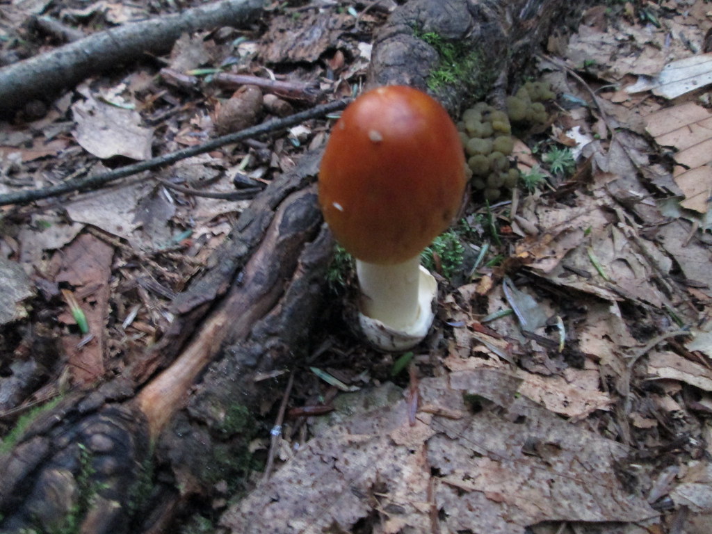 Photo: wasp7ty, CC BY 2.0 (via Flickr)
Tumbling Waters Trail
~9 min drive
Tumbling Waters Trail is a 2.78-mile trail in Pennsylvania rated SAC T2.
HIKE
Blue Mountain Loop Trail
~8 min drive
A 16.43-mile point-to-point mountain trail in New Jersey.
 Photo: Garden State Hiker, CC BY 2.0 (via Flickr)
Lead Mine Trail
~4 min drive
Short point-to-point trail featuring historical lead mining sites in New Jersey.
HIKE
Willow Crest Trail
~8 min drive
2.62-mile loop trail in New Jersey with 566 ft of elevation gain.
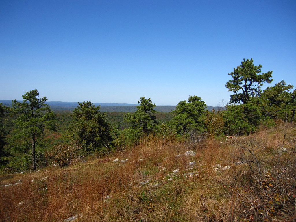 Photo: cm195902, CC BY 2.0 (via Flickr)
Stony Lake Trail
~5 min drive
Quick point-to-point walk to Stony Lake with minimal elevation gain.
Photo: cm195902, CC BY 2.0 (via Flickr)Coursen Trail
~5 min drive
1.23-mile point-to-point trail in New Jersey with 155 ft elevation gain
Photo: cm195902, CC BY 2.0 (via Flickr)Stony Brook Trail
~6 min drive
A 2.22-mile point-to-point creek-side hike through New Jersey woodland.
 Photo: j-dub1980(THANK YOU FOR 100k+ Views), CC BY-SA 2.0 (via Flickr)
Geology Trail
~8 min drive
1.4-mile out-and-back hike in New Jersey with 201 ft elevation gain.
Map and trail data © OpenStreetMap contributors
