Perkins Path
- 1.2 mi
- round trip
- 488 ft
- climb
- 1,177 ft
- high point
- Out and back
- route
- May–Oct
- best months
Perkins Path is a short, easy out-and-back hike in New Hampshire, about 2.4 miles from the village of Upper Village. The trail is roughly 2.4 miles long, with a total elevation gain of 488 feet, and it starts and ends at about 1,177 feet. The high point on the route reaches 1,177 feet, and the steepest stretch comes at about 1.1 miles in, with an 8% grade. Summer is the most comfortable time to go. Typical averages from a nearby weather station in Gorham show July highs around 79°F with lows near 55°F, and the station sits about 377 feet lower than the trail's start, so temperatures on the path run a little cooler. The hike takes about an hour. The CCC Perimeter Path West and Ethan's Loop both lie within a mile, and Barnes Field Campground and the Upper Ammonoosuc River are about 5 miles away.
- CCC Perimeter Path WestHiking0.5 mi
- Ethan's LoopHiking0.7 mi
- Pine MountainRock climbing3.6 mi
 Mount ForistRock climbingPhoto: Jon Platek, CC BY-SA 3.0 (via Wikimedia Commons)4.7 mi
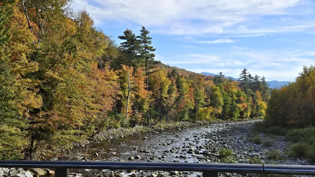 Barnes Field CampgroundCampingPhoto: Recreation.gov (RIDB) / public domain5.2 mi
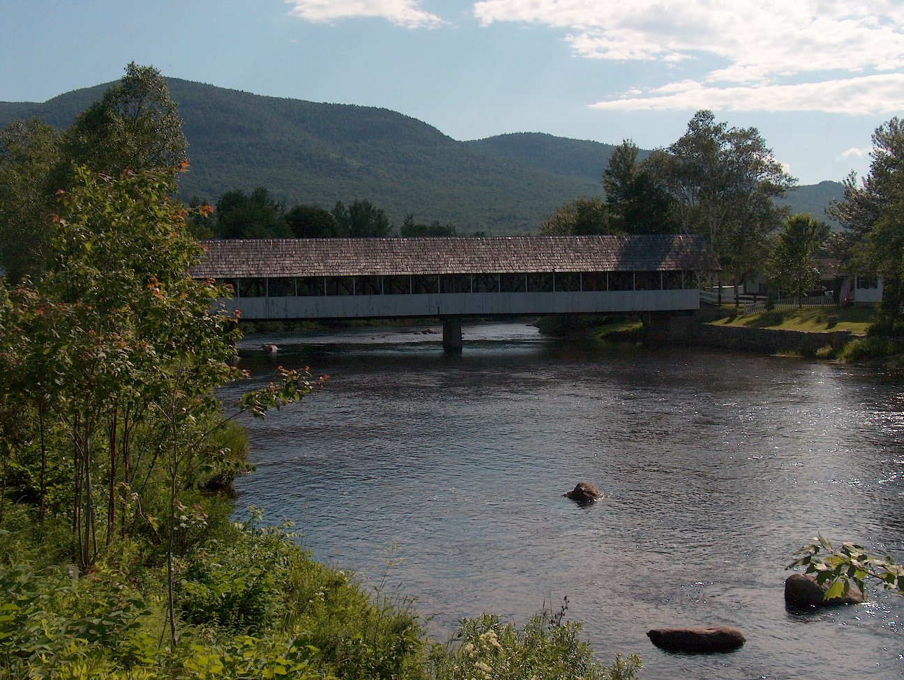 Upper Ammonoosuc RiverCanoeingPhoto: Ken Gallager at English Wikipedia, Public domain (via Wikimedia Commons)5.4 mi
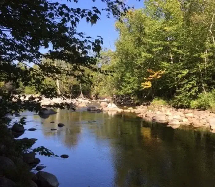 Dolly CoppCampingPhoto: Recreation.gov (RIDB) / public domain5.6 mi
 Israel RiverCanoeingPhoto: Ken Gallager at en.wikipedia, Public domain (via Wikimedia Commons)9.4 mi
Source: Roamze catalog (indexable pages within 10 miles, PostGIS distance)
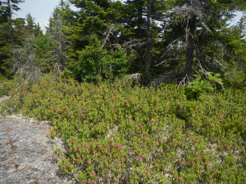 Mahoosuc TrailHiking · ~7 min drivePhoto: John Hayes (gravelboy), CC BY 2.0 (via Flickr)
 Bear Springs TrailHiking · ~7 min drivePhoto: msprague, CC BY-SA 2.0 (via Flickr)
- Randolph PathHiking · ~6 min drive
- Ice Gulch PathHiking · ~4 min drive
- CCC Perimeter Path WestHiking · Next door
- Howker RidgeHiking · ~6 min drive
- Presidential Rail TrailHiking · ~4 min drive
- Ethan's LoopHiking · ~1 min drive
- Valley WayHiking · ~7 min drive
- Cook PathHiking · ~5 min drive
Best time to visit Perkins Path
Best months: May–October. Best months have typical highs of 55–85 °F, lows of 30 °F or warmer (32 °F where the station doesn't record snow), at most one snowy day and no more than 12 wet days.
Jan
27° / 6°
Feb
30° / 7°
Mar
39° / 16°
Apr
52° / 29°
May
67° / 41°
Jun
74° / 50°
Jul
79° / 55°
Aug
78° / 52°
Sep
70° / 44°
Oct
57° / 34°
Nov
44° / 25°
Dec
33° / 14°
Typical high / low (°F) and days with rain or snow, 1991–2020. Measured at Gorham Ap, NH, 2.6 mi away at 800 ft. This station doesn't record snowfall. Source: NOAA NCEI U.S. Climate Normals 1991–2020.

Map and trail data © OpenStreetMap contributors
