Valley Way Tent Platforms
Campground
Campground · 2.6 mi from the trail
Randolph Path is a 12.2-mile out-and-back hike in New Hampshire, starting from a trailhead about half a mile from the town of Randolph. The route climbs to a high point of 4,941 feet, with a total elevation gain of 4,145 feet over the course of the trip. The climb is front-loaded, and the steepest stretch comes at about 3.5 miles in, where the grade reaches 43 percent. The trail is natural-surfaced and allows bikes, and it is not an accessible route. The trip is rated hard, and it takes about six hours to complete. Summer is the most comfortable time to go. Typical averages from the nearby Mt Washington weather station show July highs around 55°F and lows near 44°F, with no snow days. That station sits about 1,300 feet higher than the trail, so temperatures on the path run warmer. Wood Path and Howker Ridge are both within half a mile. Barnes Field Campground and the Pine Mountain climbing area are each about 3 miles away.
Valley Way Tent Platforms
Campground
Museum of White Mountain Art / Jackson Historical Society
Museum
Places © OpenStreetMap contributors
More in North Conway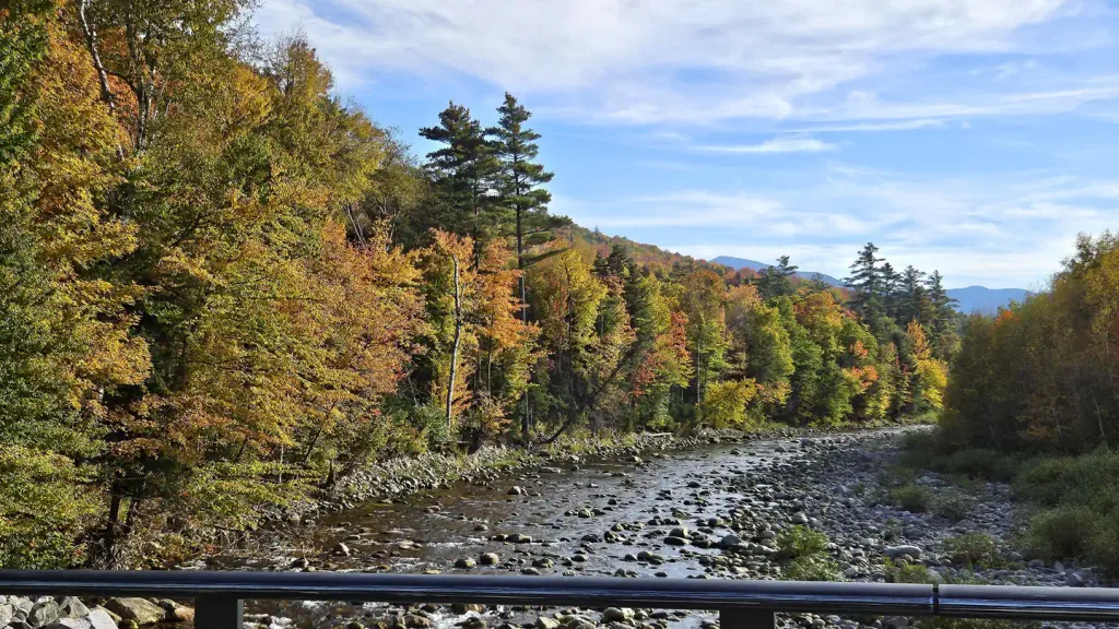 Barnes Field CampgroundCampingPhoto: Recreation.gov (RIDB) / public domain3.4 mi
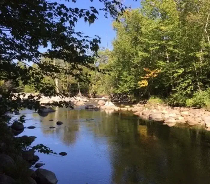 Dolly CoppCampingPhoto: Recreation.gov (RIDB) / public domain3.7 mi
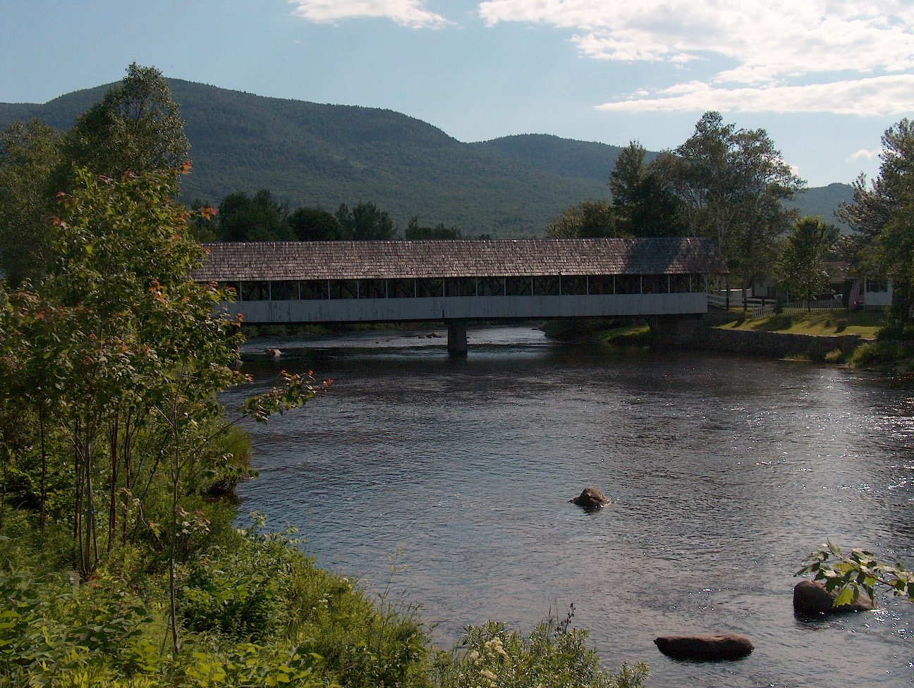 Upper Ammonoosuc RiverCanoeingPhoto: Ken Gallager at English Wikipedia, Public domain (via Wikimedia Commons)7 mi
 Israel RiverCanoeingPhoto: Ken Gallager at en.wikipedia, Public domain (via Wikimedia Commons)7.3 mi
Source: Roamze catalog (indexable pages within 10 miles, PostGIS distance)
No month here meets our mild-weather rule. Best months have typical highs of 55–85 °F, lows of 30 °F or warmer (32 °F where the station doesn't record snow), at most one snowy day and no more than 12 wet days.
Jan
15° / -3°
20 wet · 20 snow
Feb
15° / -3°
18 wet · 18 snow
Mar
21° / 5°
20 wet · 18 snow
Apr
31° / 17°
18 wet · 13 snow
May
42° / 30°
18 wet · 7 snow
Jun
51° / 40°
17 wet · 2 snow
Jul
55° / 44°
17 wet
Aug
54° / 43°
15 wet
Sep
49° / 37°
14 wet · 2 snow
Oct
38° / 25°
18 wet · 9 snow
Nov
28° / 13°
19 wet · 15 snow
Dec
20° / 3°
21 wet · 19 snow
Typical high / low (°F) and days with rain or snow, 1991–2020. Measured at Mt Washington, NH, 7.4 mi away at 6,267 ft. The station sits about 1,300 ft higher than this place, so expect it a little warmer here. Source: NOAA NCEI U.S. Climate Normals 1991–2020.
