CCC Perimeter Path West
- 1.6 mi
- round trip
- 872 ft
- climb
- 1,547 ft
- high point
- Out and back
- route
- Aug–Sep
- best months
CCC Perimeter Path West is an easy out-and-back hike in New Hampshire, about 2.3 miles from the town of Upper Village. The route is roughly 3.2 miles long, with a total elevation gain of 872 feet, and it starts and ends at the high point of 1,547 feet. The steepest stretch comes at about 0.97 miles in, where the grade reaches 16 percent. Summer is the most comfortable time to go. Typical averages from the nearby York Pond weather station show July highs around 76°F with lows near 53°F, while winter highs stay in the 20s. The hike takes about 1.5 hours. Perkins Path lies half a mile away, and Ethan's Loop is about a mile off. Climbers can head to Pine Mountain, about 3.9 miles away, and Barnes Field Campground is about 5.5 miles away for an overnight stay.
- Perkins PathHiking0.5 mi
- Ethan's LoopHiking1 mi
- Pine MountainRock climbing3.9 mi
 Madigan AreaRock climbingPhoto: Jon Platek, CC BY-SA 3.0 (via Wikimedia Commons)4.2 mi
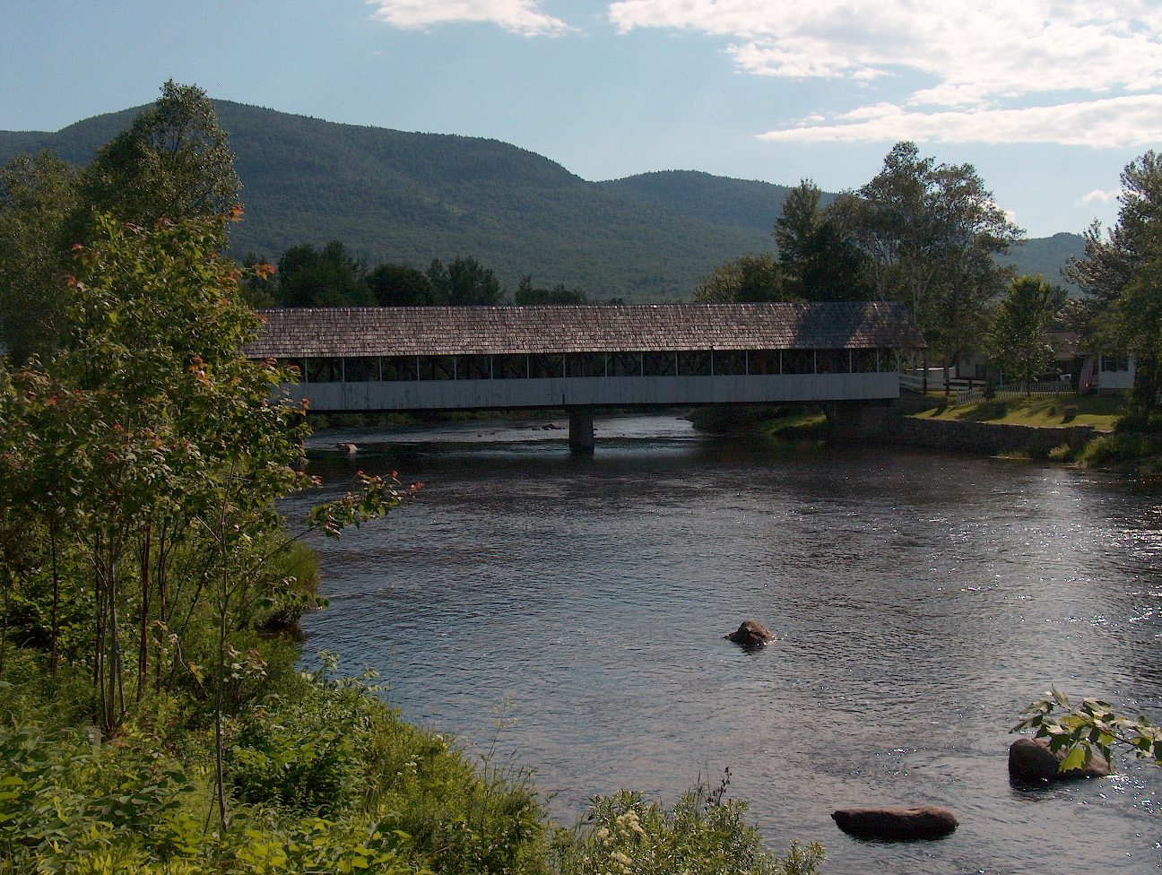 Upper Ammonoosuc RiverCanoeingPhoto: Ken Gallager at English Wikipedia, Public domain (via Wikimedia Commons)5.4 mi
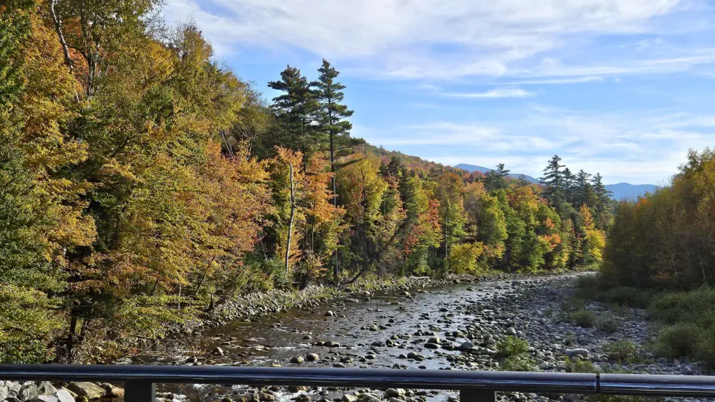 Barnes Field CampgroundCampingPhoto: Recreation.gov (RIDB) / public domain5.5 mi
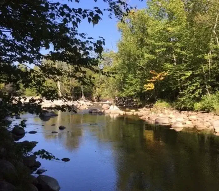 Dolly CoppCampingPhoto: Recreation.gov (RIDB) / public domain6 mi
 Israel RiverCanoeingPhoto: Ken Gallager at en.wikipedia, Public domain (via Wikimedia Commons)9.9 mi
Source: Roamze catalog (indexable pages within 10 miles, PostGIS distance)
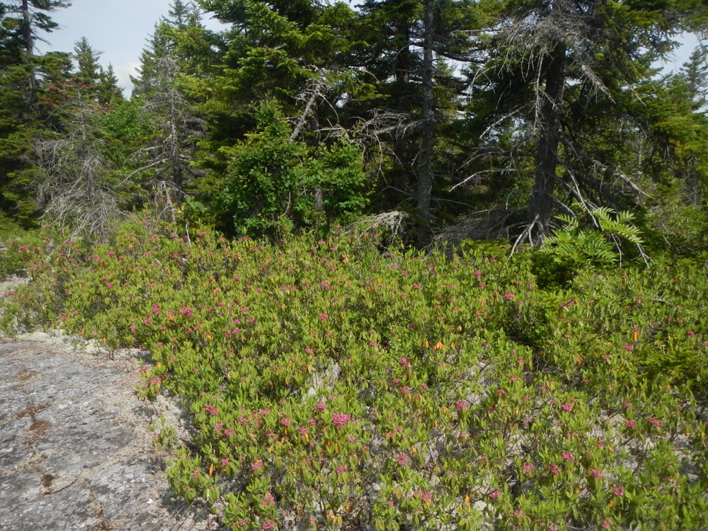 Mahoosuc TrailHiking · ~6 min drivePhoto: John Hayes (gravelboy), CC BY 2.0 (via Flickr)
- Thistle Hill Shelter - New HampshireHiking · ~7 min drivePhoto: John Hayes (gravelboy), CC BY 2.0 (via Flickr)
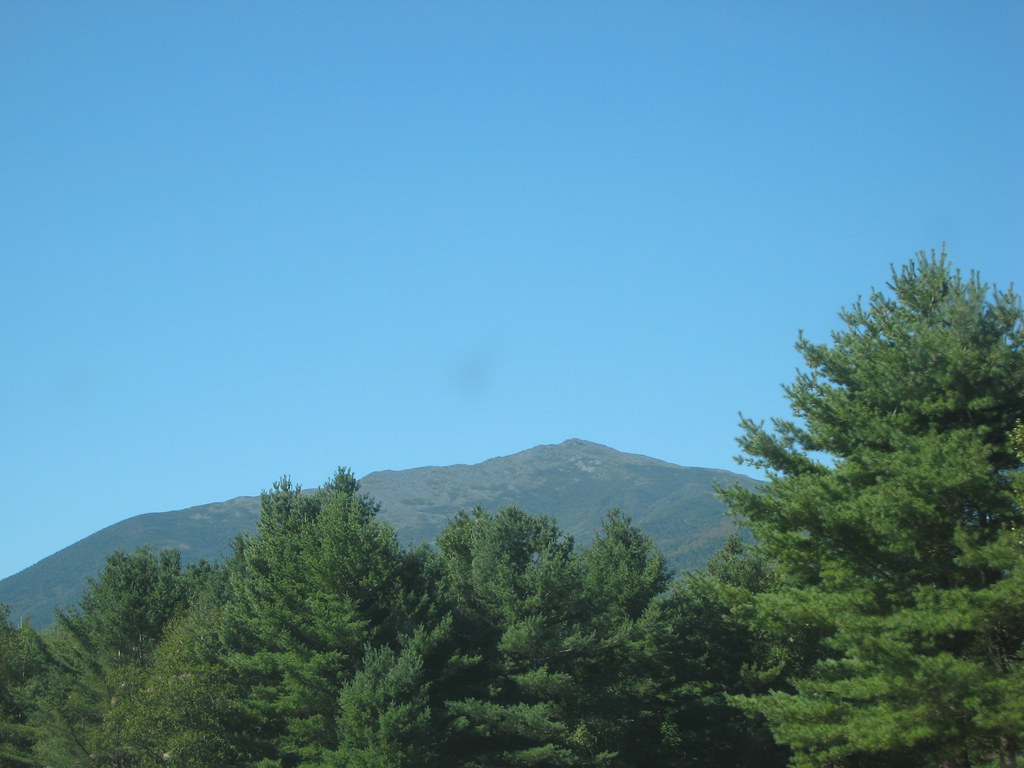 Bear Springs TrailHiking · ~7 min drivePhoto: msprague, CC BY-SA 2.0 (via Flickr)
- Presidential Rail TrailHiking · ~4 min drive
- Stony BrookHiking · ~8 min drivePhoto: msprague, CC BY-SA 2.0 (via Flickr)
- Perkins PathHiking · Next door
- Ice Gulch PathHiking · ~5 min drive
- Randolph PathHiking · ~7 min drive
- Ethan's LoopHiking · ~2 min drive
- Crescent Ridge TrailHiking · ~6 min drive
Also worth it near here
- Peboamauk FallWaterfall · ~3 min drive
 Jericho MountainSummit · ~6 min drivePhoto: Sirberlinnh, CC BY-SA 4.0 (via Wikimedia Commons)
- Madigan AreaRock climbing · ~7 min drivePhoto: Jon Platek, CC BY-SA 3.0 (via Wikimedia Commons)
- Upper Ammonoosuc RiverCanoeing · ~9 min drivePhoto: Ken Gallager at English Wikipedia, Public domain (via Wikimedia Commons)
Best time to visit CCC Perimeter Path West
Best months: August–September. Best months have typical highs of 55–85 °F, lows of 30 °F or warmer (32 °F where the station doesn't record snow), at most one snowy day and no more than 12 wet days.
Jan
25° / 4°
15 wet
Feb
28° / 5°
12 wet
Mar
36° / 15°
12 wet
Apr
49° / 27°
12 wet
May
63° / 39°
15 wet
Jun
71° / 48°
14 wet
Jul
76° / 53°
14 wet
Aug
75° / 51°
12 wet
Sep
68° / 43°
12 wet
Oct
54° / 33°
14 wet
Nov
41° / 24°
13 wet
Dec
30° / 12°
16 wet
Typical high / low (°F) and days with rain or snow, 1991–2020. Measured at York Pond, NH, 7.9 mi away at 1,519 ft. This station doesn't record snowfall. Source: NOAA NCEI U.S. Climate Normals 1991–2020.
Map and trail data © OpenStreetMap contributors
