Israel River
 Photo: Ken Gallager at en.wikipedia, Public domain (via Wikimedia Commons)
- 10.6 mi
- distance
- 1,734 ft
- high point
- Aug–Sep
- best months
The Israel River is a canoeing run in New Hampshire's White Mountain National Forest, managed by the Forest Service. The trip is about 11 miles long and lies within the national forest. Summer is the most comfortable time to paddle. Typical averages from a nearby weather station in Jefferson, which sits roughly 500 feet lower than the river, run to highs around 78°F in July and 76°F in August, with lows in the mid-50s. Winters there are cold, with January highs in the mid-20s. Nearby options include the Presidential Rail Trail, about 2.6 miles away, and the AGNEW TRAIL SNOMO, about 3.1 miles off. For an overnight base, Cherry Mountain Road Camping is about 4.8 miles away, and the Upper Ammonoosuc River offers more canoeing about 8.3 miles from the Israel River.
Local outfitters
- Northern Waters Outfitters32 mi away
- Clyde River Recreation47 mi away
Not on Roamze yet. Their page has how to reach them.
- Presidential Rail TrailHiking2.6 mi
- AGNEW TRAIL SNOMOHiking3.1 mi
- Cherry Mountain Road CampingCamping4.8 mi
- Twin Mountain / Mt. Washington KOA HolidayCamping7.1 mi
 Omni Mount Washington Resort, Bretton WoodsLake fishing7.8 mi
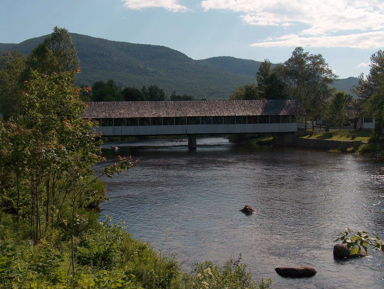 Upper Ammonoosuc RiverCanoeingPhoto: Ken Gallager at English Wikipedia, Public domain (via Wikimedia Commons)8.3 mi
- WM: Pinkham / PresidentialsRock climbing8.8 mi
- Mount OscarRock climbing8.9 mi
Source: Roamze catalog (indexable pages within 10 miles, PostGIS distance)
- Upper Ammonoosuc RiverCanoeing · ~14 min drivePhoto: Ken Gallager at English Wikipedia, Public domain (via Wikimedia Commons)
- Martin Meadow Pond Boat LaunchBoat launch · ~17 min drive
 Androscoggin RiverCanoeing · ~33 min drivePhoto: Mike Cline, CC BY-SA 3.0 (via Wikimedia Commons)
- Jericho Mountain State Park Boat RampBoat launch · ~21 min drive
- Androscoggin RiverCanoeing · ~33 min drivePhoto: Mike Cline, CC BY-SA 3.0 (via Wikimedia Commons)
- Nansen Wayside State Park Boat RampBoat launch · ~29 min drive
- Androscoggin RiverCanoeing · ~33 min drivePhoto: Mike Cline, CC BY-SA 3.0 (via Wikimedia Commons)
- Cedar Pond Boat AccessBoat launch · ~30 min drive
- Androscoggin RiverCanoeing · ~33 min drivePhoto: Mike Cline, CC BY-SA 3.0 (via Wikimedia Commons)
- Echo Lake Boat LaunchBoat launch · ~33 min drive
Best time to visit Israel River
Best months: August–September. Best months have typical highs of 55–85 °F, lows of 30 °F or warmer (32 °F where the station doesn't record snow), at most one snowy day and no more than 12 wet days.
Jan
26° / 7°
16 wet
Feb
29° / 9°
14 wet
Mar
38° / 18°
14 wet
Apr
51° / 30°
13 wet
May
64° / 42°
14 wet
Jun
73° / 51°
14 wet
Jul
78° / 56°
13 wet
Aug
76° / 54°
12 wet
Sep
67° / 45°
11 wet
Oct
55° / 37°
14 wet
Nov
41° / 27°
15 wet
Dec
31° / 16°
17 wet
Typical high / low (°F) and days with rain or snow, 1991–2020. Measured at Jefferson, NH, 5.3 mi away at 1,235 ft. This station doesn't record snowfall. Source: NOAA NCEI U.S. Climate Normals 1991–2020.


