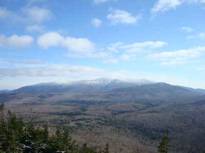
Jeffers Brook Shelter
Campground
Campground · 0.7 mi from the trail
Closure in the area
There's a closure order in Appalachian National Scenic Trail. It doesn't name Hurricane Mtn, so check the source for the area it covers.
List of trail closures post-Hurricane Helene
Park closure covering Appalachian National Scenic Trail · NPS · Appalachian National Scenic Trail
Black Bears Frequenting the McAfee Knob Area in Virginia
Park alert covering Appalachian National Scenic Trail · NPS · Appalachian National Scenic Trail
As of · Source: NPS · Appalachian National Scenic Trail. Agencies don't list every closure — check before you go.
Hurricane Mountain is a moderate out-and-back hike in New Hampshire's White Mountain National Forest, on land managed by the Forest Service. The trail crosses the Appalachian National Scenic Trail and runs about 3 miles, with a total elevation gain of 1,490 feet. The high point is 2,992 feet, and the climb is front-loaded, with the steepest stretch at about 1.2 miles in, where the grade reaches 27%. The route starts at roughly 1,762 feet and ends at a similar elevation, so the total gain and loss are each about 1,490 feet. Bikes are allowed on the natural-surface trail. Summer is the most comfortable time to go. Typical averages from a nearby weather station at Waterville Valley run to highs around 77°F in July, while temperatures on the mountain run cooler. Winter is harsh, with January highs near 28°F and lows around 6°F. The hike takes about 1.5 hours. Blueberry Mountain is less than a mile away, and the Big Wall and The Apron climbing areas are about 1.8 miles off. Beaver Brook Shelter, about 4 miles away, offers a place to camp.
Jeffers Brook Shelter
Campground
 If it rainsKen Gallager, CC BY-SA 4.0 · Wikimedia Commons
Places © OpenStreetMap contributors, Places © Overture Maps Foundation · Photos: Ken Gallager, CC BY-SA 4.0 (commons)
More in BradfordDaily highs and lows, wind and the chance of precipitation at the summit and route start for the next 7 days, from the Open-Meteo model.
 Carriage RoadHikingPhoto: jbylund, CC BY-SA 2.0 (via Flickr)2 mi
Source: Roamze catalog (indexable pages within 10 miles, PostGIS distance)
Carriage RoadHiking · ~3 min drivePhoto: jbylund, CC BY-SA 2.0 (via Flickr)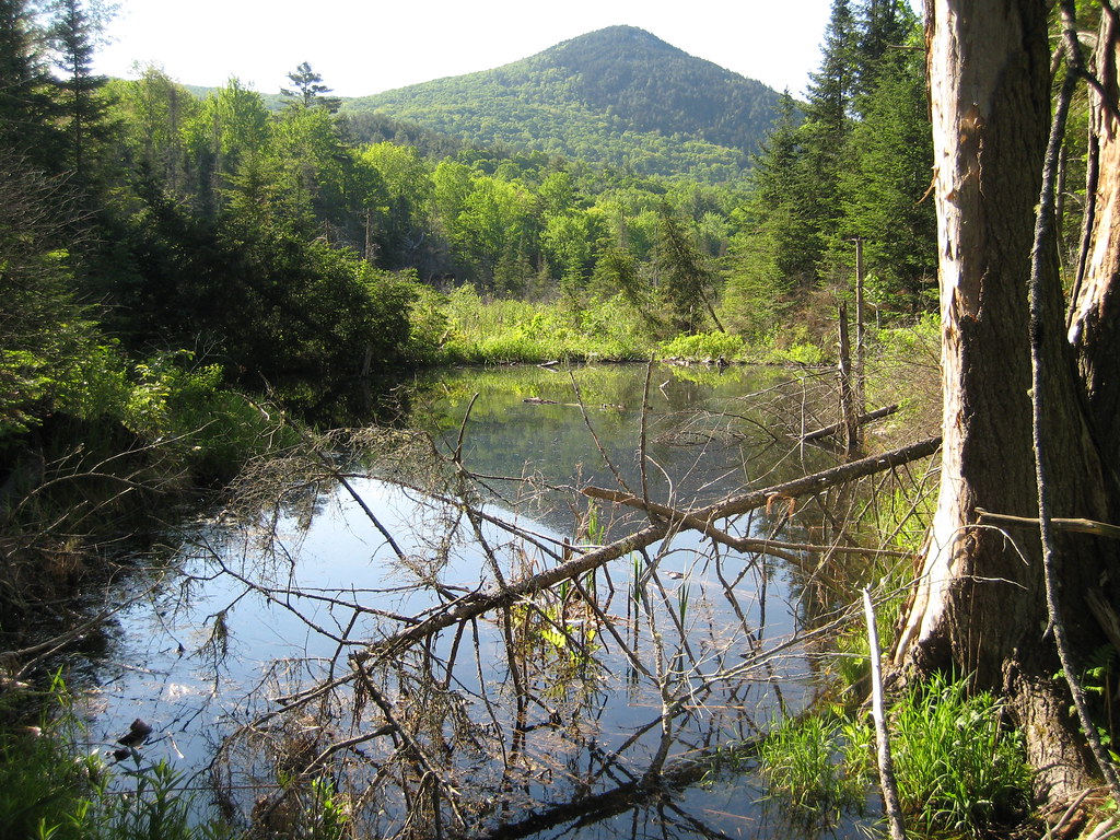 Chippewa TrailHiking · ~10 min drivePhoto: robanhk, CC BY-SA 2.0 (via Flickr)
 Glover Brook TrailHiking · ~16 min drivePhoto: Cliff from Arlington, Virginia, USA, CC BY 2.0 (via Wikimedia Commons)Gorge Brook TrailHiking · ~5 min drivePhoto: jbylund, CC BY-SA 2.0 (via Flickr)
 Richie Green TrailHiking · ~11 min drivePhoto: Thevandaley, CC BY-SA 4.0 (via Wikimedia Commons)
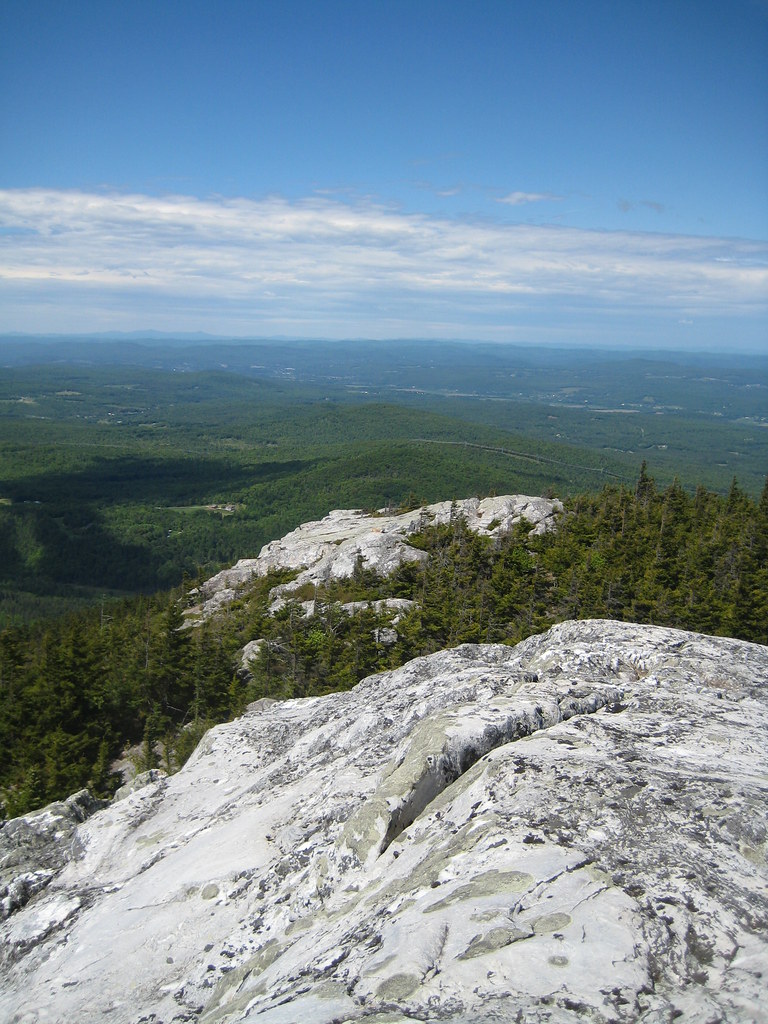 Black MtHiking · ~12 min drivePhoto: robanhk, CC BY-SA 2.0 (via Flickr)
Best months: May–October. Best months have typical highs of 55–85 °F, lows of 30 °F or warmer (32 °F where the station doesn't record snow), at most one snowy day and no more than 12 wet days.
Jan
28° / 6°
Feb
30° / 6°
Mar
38° / 15°
Apr
50° / 28°
May
63° / 40°
Jun
72° / 49°
Jul
77° / 54°
Aug
76° / 52°
Sep
69° / 45°
Oct
56° / 34°
Nov
43° / 25°
Dec
33° / 14°
Typical high / low (°F) and days with rain or snow, 1991–2020. Measured at Waterville Valley Nepp, NH, 18.5 mi away at 1,429 ft. The station sits about 1,600 ft lower than this place, so expect it a little cooler here. This station doesn't record snowfall. Source: NOAA NCEI U.S. Climate Normals 1991–2020.
Season: Year-round.
About 3.0 mi round trip.
About 1,490 ft of climbing round trip.
It is rated moderate.
About 1.5 hours round trip.
Year-round.