River Meadow Campground
Campground
Campground · 5.4 mi from the trail
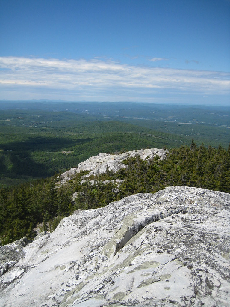 Photo: robanhk, CC BY-SA 2.0 (via Flickr)
Closure in the area
There's a closure order in White Mountain National Forest. It doesn't name Black Mt, so check the source for the area it covers (2 listed).
Wild River Fire - Androscoggin Ranger District
Agency closure covering White Mountain National Forest · USFS · White Mountain National Forest
Rattlesnake Fire – Pemigewasset Ranger District
Agency closure covering White Mountain National Forest · USFS · White Mountain National Forest
Town Hall Road Camping and Fire Restrictions
Agency alert covering White Mountain National Forest · USFS · White Mountain National Forest
Lincoln Woods Trail Closure
Agency alert covering White Mountain National Forest · USFS · White Mountain National Forest
Forest Roads Status
Agency alert covering White Mountain National Forest · USFS · White Mountain National Forest
As of · Source: USFS · White Mountain National Forest. Agencies don't list every closure — check before you go.
Black Mt is a moderate out-and-back hike in the Pemigewasset Ranger District of White Mountain National Forest in New Hampshire, about 3.4 miles long with a total elevation gain of 1,367 feet. The trail starts at roughly 1,668 feet and climbs to a high point of 2,795 feet, with the steepest stretch at about 0.4 miles in, where the grade reaches 27%. The climb is front-loaded, and the route is natural-surfaced and open to bikes. Summer is the most comfortable time to go. Typical averages from a nearby weather station at 1,200 feet show July highs around 77°F and lows near 56°F, while temperatures on the summit run cooler. The station sits well below the high point, so expect a drop in both day and night temperatures up top. The hike is open year-round, and the trip takes about two hours. The closest neighbors are the Chippewa Trail, about 2.1 miles away, and the Orr Hill Trail, about 2.4 miles away. Climbers can find WM: Oliverian Notch about 2.9 miles off, and Wildwood campground lies about 6.4 miles away.
River Meadow Campground
Campground
 If it rainsAlexiusHoratius, CC BY-SA 3.0 · Wikimedia Commons
Places © OpenStreetMap contributors · Photos: AlexiusHoratius, CC BY-SA 3.0 (commons)
More in BradfordBest months: August–October. Best months have typical highs of 55–85 °F, lows of 30 °F or warmer (32 °F where the station doesn't record snow), at most one snowy day and no more than 12 wet days.
Jan
26° / 7°
12 wet
Feb
29° / 9°
10 wet
Mar
38° / 18°
11 wet
Apr
51° / 30°
11 wet
May
64° / 42°
13 wet
Jun
72° / 51°
14 wet
Jul
77° / 56°
13 wet
Aug
76° / 54°
11 wet
Sep
69° / 46°
11 wet
Oct
56° / 35°
12 wet
Nov
43° / 26°
11 wet
Dec
32° / 15°
12 wet
Typical high / low (°F) and days with rain or snow, 1991–2020. Measured at Benton 5 Sw, NH, 4.2 mi away at 1,200 ft. The station sits about 1,600 ft lower than this place, so expect it a little cooler here. This station doesn't record snowfall. Source: NOAA NCEI U.S. Climate Normals 1991–2020.
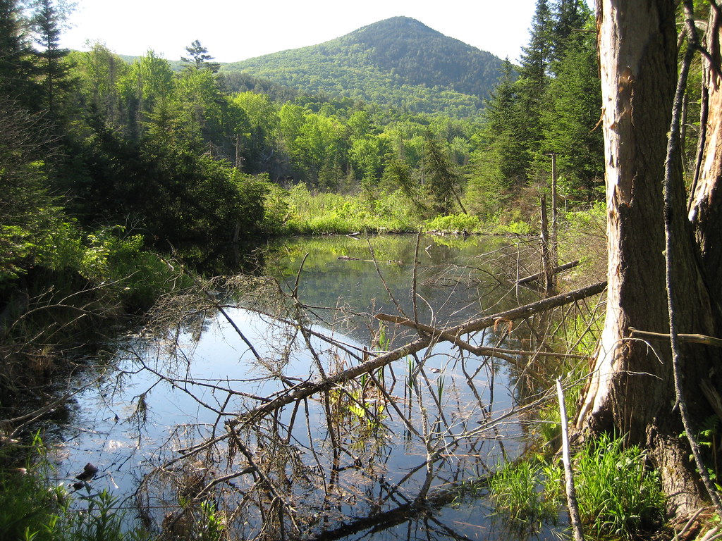 Photo: robanhk, CC BY-SA 2.0 (via Flickr)
Chippewa Trail
~4 min drive
1.64-mile out-and-back hike in New Hampshire with 1,616 ft gain
 Photo: Leighton & Valentine Company, Public domain (via Wikimedia Commons)
Ammonoosuc Rail Trail
~10 min drive
3.38-mile out-and-back trail in New Hampshire with 302 ft elevation gain
 Photo: jbylund, CC BY-SA 2.0 (via Flickr)
Gorge Brook Trail
~11 min drive
2.81-mile out-and-back trail in New Hampshire with 2,941 ft gain.
HIKE
Jericho Rd
~10 min drive
6.40-mile out-and-back trail in New Hampshire with 1,205 ft elevation gain.
HIKE
Orr Hill Trail
~4 min drive
5.32-mile out-and-back hike in New Hampshire with 1,370 ft elevation gain
Photo: Leighton & Valentine Company, Public domain (via Wikimedia Commons)Blackmount Rail Trail
~11 min drive
1.38-mile out-and-back rail trail in Vermont with 102 ft elevation gain
Photo: jbylund, CC BY-SA 2.0 (via Flickr)Carriage Road
~11 min drive
Carriage Road is a 4.05-mile out-and-back trail in New Hampshire with 3,069 feet of elevation loss.
HIKE
Blueberry Mtn
~11 min drive
An easy 7.79-mile out-and-back hike in New Hampshire suitable for all abilities.
HIKE
Cobble Hill Trail
~5 min drive
6.92-mile out-and-back trail in New Hampshire with 1,640 ft gain/loss.
Photo: Leighton & Valentine Company, Public domain (via Wikimedia Commons)Ammonoosuc Rail Trail
~12 min drive
1.62-mile out-and-back rail trail in Vermont with 245 ft elevation gain
Season: Year-round.
About 3.4 mi round trip.
About 1,367 ft of climbing round trip.
It is rated moderate.
About 2 hours round trip.
Year-round.
2: Chippewa Trail and Black Mt.
Daily highs and lows, wind and the chance of precipitation at the summit and route start for the next 7 days, from the Open-Meteo model.
