Harkdale Farm Campsite
Campground
Campground · 4.4 mi from the trail
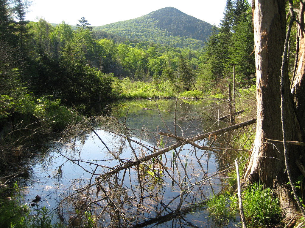 Photo: robanhk, CC BY-SA 2.0 (via Flickr)
Chippewa Trail is a moderate out-and-back hike in New Hampshire, about 2 miles from the town of Center Haverhill. The route is roughly 3.3 miles long, with a total elevation gain of about 1,700 feet, and it reaches a high point of 2,821 feet. The climb is front-loaded, with the steepest stretch at about mile 1, where the grade reaches 38 percent. Summer is the most comfortable time to go. Typical averages from a nearby weather station run to highs around 77°F in July, while temperatures at the summit run cooler than that station's figures. Winter is cold, with January highs near 26°F. The trailhead is named Chippewa Trailhead, and the trip is estimated to take about 2 hours. Black Mt and the WM: Oliverian Notch climbing area both sit about 2 miles away. The Joan Wolter Trail, a ski touring route, is about 3 miles off.
Harkdale Farm Campsite
Campground
 If it rainsKen Gallager, CC BY-SA 4.0 · Wikimedia Commons
Places © OpenStreetMap contributors · Photos: Ken Gallager, CC BY-SA 4.0 (commons)
More in Bradford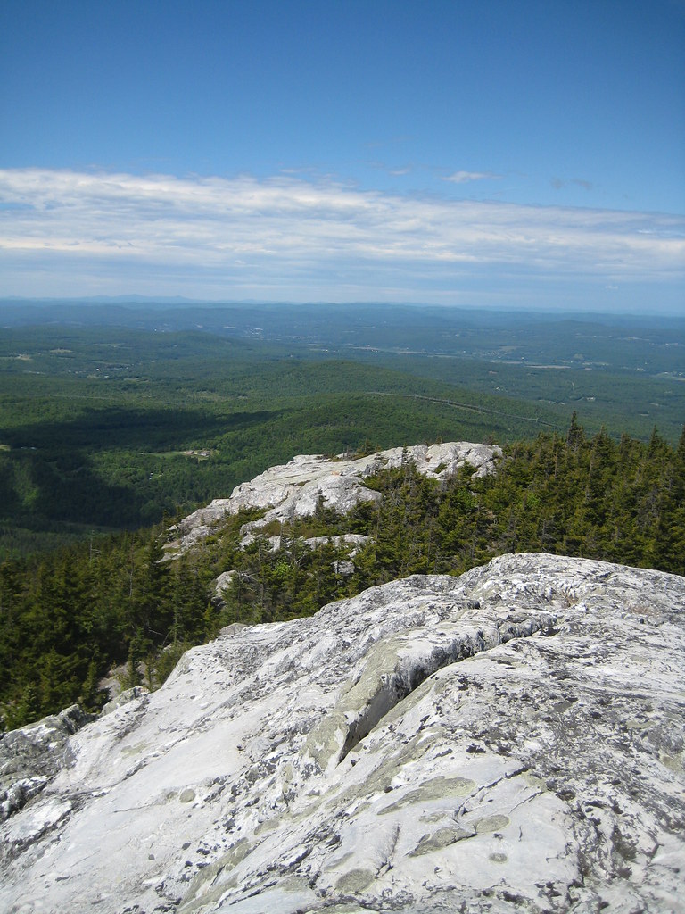 Black MtHikingPhoto: robanhk, CC BY-SA 2.0 (via Flickr)2.1 mi
Source: Roamze catalog (indexable pages within 10 miles, PostGIS distance)
Black MtHiking · ~4 min drivePhoto: robanhk, CC BY-SA 2.0 (via Flickr) Gorge Brook TrailHiking · ~11 min drivePhoto: jbylund, CC BY-SA 2.0 (via Flickr)
 Ammonoosuc Rail TrailHiking · ~11 min drivePhoto: Leighton & Valentine Company, Public domain (via Wikimedia Commons)
 Richie Green TrailHiking · ~13 min drivePhoto: Thevandaley, CC BY-SA 4.0 (via Wikimedia Commons)Carriage RoadHiking · ~11 min drivePhoto: jbylund, CC BY-SA 2.0 (via Flickr)Blackmount Rail TrailHiking · ~12 min drivePhoto: Leighton & Valentine Company, Public domain (via Wikimedia Commons)Ammonoosuc Rail TrailHiking · ~12 min drivePhoto: Leighton & Valentine Company, Public domain (via Wikimedia Commons)
Best months: August–October. Best months have typical highs of 55–85 °F, lows of 30 °F or warmer (32 °F where the station doesn't record snow), at most one snowy day and no more than 12 wet days.
Jan
26° / 7°
12 wet
Feb
29° / 9°
10 wet
Mar
38° / 18°
11 wet
Apr
51° / 30°
11 wet
May
64° / 42°
13 wet
Jun
72° / 51°
14 wet
Jul
77° / 56°
13 wet
Aug
76° / 54°
11 wet
Sep
69° / 46°
11 wet
Oct
56° / 35°
12 wet
Nov
43° / 26°
11 wet
Dec
32° / 15°
12 wet
Typical high / low (°F) and days with rain or snow, 1991–2020. Measured at Benton 5 Sw, NH, 2.2 mi away at 1,200 ft. The station sits about 1,600 ft lower than this place, so expect it a little cooler here. This station doesn't record snowfall. Source: NOAA NCEI U.S. Climate Normals 1991–2020.
About 1.6 mi round trip from Chippewa Trailhead (about 1,311 ft).
About 1,701 ft of climbing round trip.
It is rated moderate.
Chippewa Trailhead (about 1,311 ft).
About 1.5 hours round trip.
2: Chippewa Trail and Black Mt.
Daily highs and lows, wind and the chance of precipitation at the summit and route start for the next 7 days, from the Open-Meteo model.
Map and trail data © OpenStreetMap contributors
