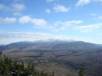
Beaver Brook Shelter
Campground
Campground · 2.0 mi from the trail
 Photo: jbylund, CC BY-SA 2.0 (via Flickr)
Closure in the area
There's a closure order in White Mountain National Forest. It doesn't name Carriage Road, so check the source for the area it covers (3 listed).
Wild River Fire - Androscoggin Ranger District
Agency closure covering White Mountain National Forest · USFS · White Mountain National Forest
List of trail closures post-Hurricane Helene
Park closure covering Appalachian National Scenic Trail · NPS · Appalachian National Scenic Trail
Rattlesnake Fire – Pemigewasset Ranger District
Agency closure covering White Mountain National Forest · USFS · White Mountain National Forest
Black Bears Frequenting the McAfee Knob Area in Virginia
Park alert covering Appalachian National Scenic Trail · NPS · Appalachian National Scenic Trail
Town Hall Road Camping and Fire Restrictions
Agency alert covering White Mountain National Forest · USFS · White Mountain National Forest
As of · Source: USFS · White Mountain National Forest. Agencies don't list every closure — check before you go.
Carriage Road is a 4.05-mile out-and-back hike in New Hampshire's White Mountain National Forest, within the Pemigewasset Ranger District and along the Appalachian National Scenic Trail. The Forest Service manages the land, and the route rises from about 1,711 feet to a high point of 4,440 feet, with a total elevation gain of 5,779 feet over the round trip. The climb is steep, with the steepest stretch at about 1.7 miles in, where the grade reaches 27 percent. The hike is rated expert, and the round trip takes about 5.5 hours. The route is long and demanding, with a total of 8.1 miles to cover. Several other trails sit close by. Gorge Brook Trail is 0.8 miles away and Snapper Trail is 1 mile away. Beaver Brook Shelter, a campground, is about 2 miles off, and Kinsman Cliffs, a climbing area, is about 2.6 miles away.
Beaver Brook Shelter
Campground
 If it rainsKen Gallager, CC BY-SA 4.0 · Wikimedia Commons
Places © OpenStreetMap contributors · Photos: Ken Gallager, CC BY-SA 4.0 (commons)
More in BradfordPhoto: jbylund, CC BY-SA 2.0 (via Flickr)Gorge Brook Trail
~1 min drive
2.81-mile out-and-back trail in New Hampshire with 2,941 ft gain.
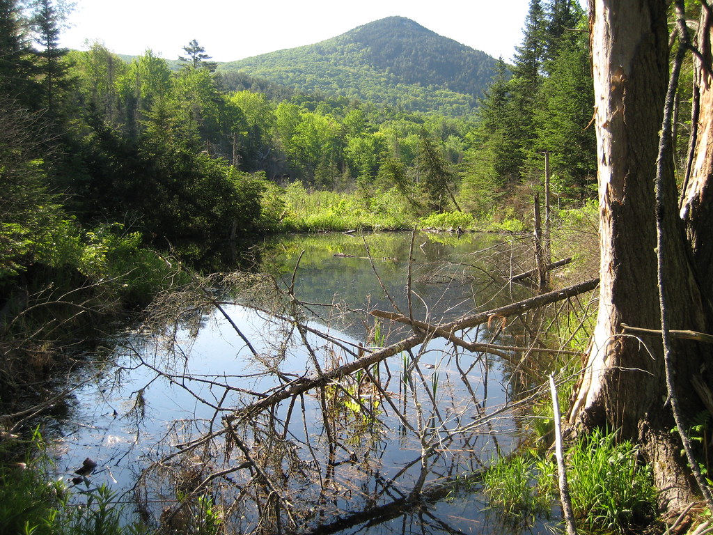 Photo: robanhk, CC BY-SA 2.0 (via Flickr)
Chippewa Trail
~11 min drive
1.64-mile out-and-back hike in New Hampshire with 1,616 ft gain
 Photo: Cliff from Arlington, Virginia, USA, CC BY 2.0 (via Wikimedia Commons)
Glover Brook Trail
~13 min drive
4.96-mile out-and-back trail in New Hampshire with 942 ft elevation gain
HIKE
Blueberry Mtn
~4 min drive
An easy 7.79-mile out-and-back hike in New Hampshire suitable for all abilities.
HIKE
POWERLINE LOOP TRAIL SNOMO
~11 min drive
21.3-mile out-and-back trail in New Hampshire with 4,505 ft elevation gain and loss.
 Photo: Thevandaley, CC BY-SA 4.0 (via Wikimedia Commons)
Richie Green Trail
~15 min drive
2.82-mile out-and-back hike in New Hampshire with 1,394 ft gain and 2,693 ft max elevation.
HIKE
Hurricane Trail
~3 min drive
1.92-mile out-and-back trail in New Hampshire with 506 ft elevation gain
HIKE
B18 Crash Site Trail
~5 min drive
1.01-mile out-and-back trail in New Hampshire with 69 ft gain and 1,204 ft loss.
 Photo: Gary Brownell, CC BY-SA 2.0 (via Flickr)
Indian Head Trail
~15 min drive
1.79-mile out-and-back hike in New Hampshire with 1,601 feet of elevation gain.
HIKE
GLENCLIFF LOOP SNOMO
~6 min drive
1.26-mile out-and-back trail in New Hampshire with 287 ft elevation gain/loss.
Map and trail data © OpenStreetMap contributors