Beaver Brook Shelter
Campground
Campground · 1.1 mi from the trail
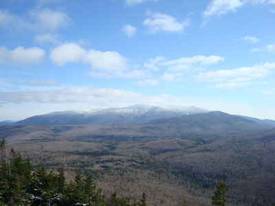 Photo: Jrclark (talk), CC BY 3.0 (via Wikimedia Commons)
Closure in the area
There's a closure order in White Mountain National Forest. It doesn't name Mount Moosilauke, so check the source for the area it covers (3 listed).
Wild River Fire - Androscoggin Ranger District
Agency closure covering White Mountain National Forest · USFS · White Mountain National Forest
List of trail closures post-Hurricane Helene
Park closure covering Appalachian National Scenic Trail · NPS · Appalachian National Scenic Trail
Rattlesnake Fire – Pemigewasset Ranger District
Agency closure covering White Mountain National Forest · USFS · White Mountain National Forest
Black Bears Frequenting the McAfee Knob Area in Virginia
Park alert covering Appalachian National Scenic Trail · NPS · Appalachian National Scenic Trail
Town Hall Road Camping and Fire Restrictions
Agency alert covering White Mountain National Forest · USFS · White Mountain National Forest
As of · Source: USFS · White Mountain National Forest. Agencies don't list every closure — check before you go.
Mount Moosilauke is a summit in the Pemigewasset Ranger District of White Mountain National Forest in New Hampshire, about 7 miles from the town of North Woodstock. The mountain also falls within the Appalachian National Scenic Trail, so the long-distance footpath passes through this terrain. Several routes lead toward the top. Gorge Brook Trail starts just 0.1 mile away, and Carriage Road lies about a mile off. Snapper Trail is within 2 miles, giving hikers more than one way to build a trip on the mountain. For an overnight, Beaver Brook Shelter sits about a mile away, and Wildwood campground is roughly 4 miles off. Climbers will find Kinsman Cliffs less than 2 miles from the summit.
Beaver Brook Shelter
Campground
 If it rainsKen Gallager, CC BY-SA 4.0 · Wikimedia Commons
Places © OpenStreetMap contributors · Photos: Ken Gallager, CC BY-SA 4.0 (commons)
More in BradfordDaily highs and lows, wind and the chance of precipitation at the summit and route start for the next 7 days, from the Open-Meteo model.
Elevation from USGS 3D Elevation Program terrain data (about 10 m resolution).
4,797 ft (1,462 m).
One: Gorge Brook Trail.
 Gorge Brook TrailHikingPhoto: jbylund, CC BY-SA 2.0 (via Flickr)0.1 miCarriage RoadHikingPhoto: jbylund, CC BY-SA 2.0 (via Flickr)0.9 mi
 Pemigewasset RiverCanoeingPhoto: Public domain (via Wikimedia Commons)8.8 mi
Source: Roamze catalog (indexable pages within 10 miles, PostGIS distance)
 Mount LafayetteSummit · ~23 min drivePhoto: User:Paulbalegend, CC BY-SA 3.0 (via Wikimedia Commons)
 Owls HeadSummit · ~23 min drivePhoto: Ken Gallager at English Wikipedia, Public domain (via Wikimedia Commons)
 Smarts MountainSummit · ~29 min drivePhoto: Ken Gallager at en.wikipedia, CC BY-SA 3.0 (via Wikimedia Commons)
 Mount BondSummit · ~30 min drivePhoto: Photo by Ken Gallager, Public domain (via Wikimedia Commons)
 South Twin MountainSummit · ~30 min drivePhoto: Tim Sackton, CC BY-SA 2.0 (via Wikimedia Commons)
 North Twin MountainSummit · ~31 min drivePhoto: Ken Gallager at English Wikipedia, Public domain (via Wikimedia Commons)
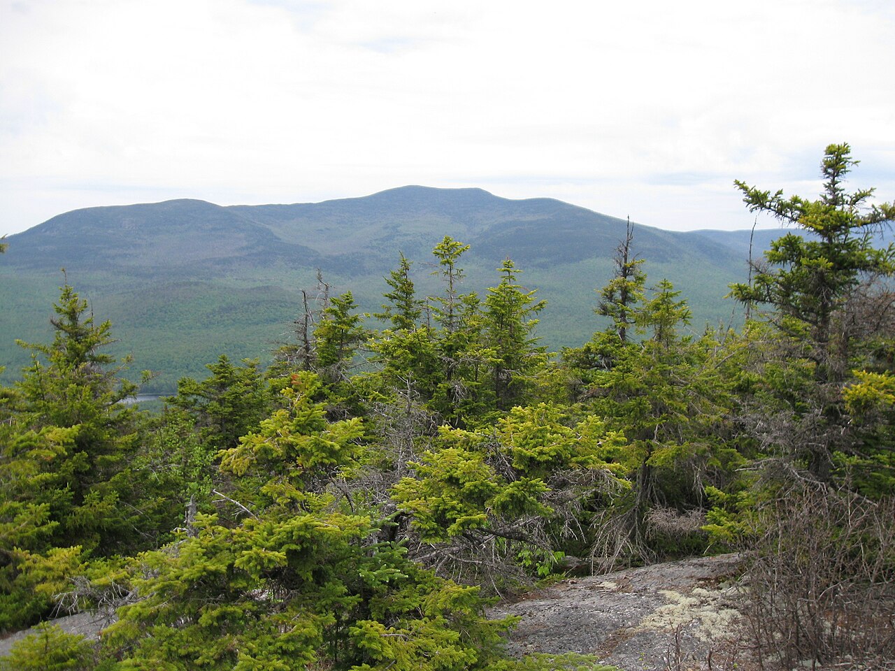 Sandwich MountainSummit · ~32 min drivePhoto: Ken Gallager (talk), CC BY-SA 3.0 (via Wikimedia Commons)
