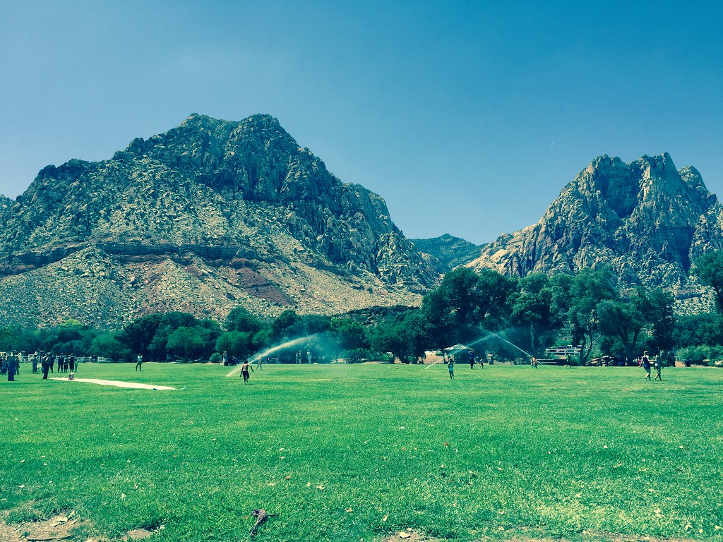
Red Rock Canyon Campground
Campground
Sites open the weekend of Nov 13 on Recreation.gov
Clear at last check
Weather is good · OpenWeather · checked 21 h ago
Lil' Daytona is an easy, short mountain biking route on Bureau of Land Management land in Nevada's Red Rock/Sloan Field Office. It's an out-and-back that gains about 47 feet in elevation over roughly 2.8 miles, with the high point at 3,787 feet and the low point at 3,737 feet. The climb is gentle, with the steepest stretch at about 3% grade near the start. Spring and fall are the most comfortable times to ride. Typical averages from a nearby weather station run from highs around 70°F in April to 75°F in October, while July and August average highs in the mid-90s. Dave's Driveway is just 0.2 miles away. Monument Boulders and Black Boulder are climbing areas about a mile off. For an overnight stay, Red Rock Canyon Campground sits roughly 7 miles away.
Red Rock Canyon Campground
Campground
Places © OpenStreetMap contributors
More in Sandy ValleyBest months: February–May and October–November. Best months have typical highs of 55–85 °F, lows of 30 °F or warmer (32 °F where the station doesn't record snow), at most one snowy day and no more than 12 wet days.
Jan
53° / 32°
4 wet
Feb
56° / 35°
5 wet
Mar
64° / 41°
4 wet
Apr
70° / 47°
2 wet
May
80° / 56°
1 wet
Jun
90° / 66°
1 wet
Jul
95° / 73°
2 wet
Aug
94° / 72°
2 wet
Sep
87° / 62°
2 wet
Oct
75° / 50°
2 wet
Nov
62° / 38°
2 wet
Dec
52° / 31°
3 wet
Typical high / low (°F) and days with rain or snow, 1991–2020. Measured at Red Rock Canyon - Spg Mt Rch S, NV, 2.3 mi away at 3,780 ft. This station doesn't record snowfall. Source: NOAA NCEI U.S. Climate Normals 1991–2020.
 Photo: Lauren Kay lakael, CC0 (via Wikimedia Commons)
Bob Gnarly
~9 min drive
1.67-mile trail in Ice Box Canyon, Nevada, gaining 328 ft.
RIDE
Dave's Driveway
Next door
0.19-mile difficult out-and-back trail in Nevada with 6 ft elevation gain on mixed terrain.
RIDE
Switchy Hill
~2 min drive
0.45-mile easy singletrack out-and-back in Nevada with 75 ft elevation gain.
RIDE
Upper Dead Horse
~7 min drive
0.98-mile out-and-back trail in Nevada with 515 ft elevation gain.
 Photo: Hermann Luyken, CC0 (via Wikimedia Commons)
Tunneling into Red Rock
~11 min drive
0.60-mile trail in Ice Box Canyon, Nevada with 83 ft elevation gain.
RIDE
Hurl Trail Connector (N)
~3 min drive
0.43-mile hard out-and-back trail in Nevada with 173 ft elevation gain.
RIDE
Cactus Slalom
~3 min drive
1.33-mile easy singletrack in Nevada with 64 ft of elevation gain.
RIDE
Badger Pass Climb
~8 min drive
0.37-mile out-and-back climb in Nevada with 50 ft gain on mixed terrain.
 Photo: Hermann Luyken, CC0 (via Wikimedia Commons)
Brokeback Mountain
~11 min drive
3.96-mile trail in Ice Box Canyon, Nevada with 451 ft elevation gain
RIDE
The Hurl
~4 min drive
3.61-mile out-and-back trail in Nevada with 919 ft elevation gain.
Map and trail data © OpenStreetMap contributors