Red Rock Canyon Campground
Campground
Sites open the weekend of Nov 13 on Recreation.gov
The Hurl Trail Connector (N) is a short, out-and-back mountain biking route on Bureau of Land Management land in Nevada's Red Rock/Sloan Field Office. It sits at about 3,410 feet, and its high point reaches about 3,577 feet with a total climb of roughly 147 feet. The trail is rated hard, and its front-loaded profile means the steepest stretch comes early, around 0.34 miles from the start, where the grade hits about 9%. Spring and fall are the most comfortable times to ride. Typical averages from a nearby weather station run to highs around 70°F in April and 75°F in October, while July highs average about 95°F. The connector links easily to other riding in the area. The Hurl is about 0.3 miles away, Landmine Loop about half a mile, and Molly's about 0.8 miles. Climbers can head to the Blue Diamond Area, about half a mile off.
Red Rock Canyon Campground
Campground
Places © OpenStreetMap contributors
More in Sandy Valley Blue Diamond AreaRock climbingPhoto: ladylinoleum, CC BY 2.0 (via Flickr)0.5 mi
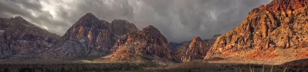 Red Rock Canyon CampgroundCampingPhoto: Recreation.gov (RIDB) / public domain6.1 mi
Source: Roamze catalog (indexable pages within 10 miles, PostGIS distance)
 Bob GnarlyMountain biking · ~9 min drivePhoto: Lauren Kay lakael, CC0 (via Wikimedia Commons)
 Brokeback MountainMountain biking · ~10 min drivePhoto: Hermann Luyken, CC0 (via Wikimedia Commons)
 Tunneling into Red RockMountain biking · ~11 min drivePhoto: Hermann Luyken, CC0 (via Wikimedia Commons)
Also worth it near here
Blue Diamond AreaRock climbing · Next doorPhoto: ladylinoleum, CC BY 2.0 (via Flickr)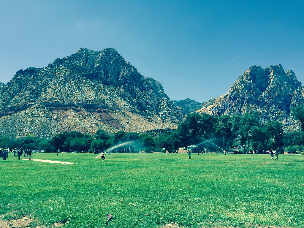 South Ash Grove LoopHiking · ~6 min drivePhoto: christie_verbose, CC BY 2.0 (via Flickr)
 Mount WilsonSummit · ~10 min drivePhoto: Stan Shebs, CC BY-SA 3.0 (via Wikimedia Commons)
Best months: February–May and October–November. Best months have typical highs of 55–85 °F, lows of 30 °F or warmer (32 °F where the station doesn't record snow), at most one snowy day and no more than 12 wet days.
Jan
53° / 32°
4 wet
Feb
56° / 35°
5 wet
Mar
64° / 41°
4 wet
Apr
70° / 47°
2 wet
May
80° / 56°
1 wet
Jun
90° / 66°
1 wet
Jul
95° / 73°
2 wet
Aug
94° / 72°
2 wet
Sep
87° / 62°
2 wet
Oct
75° / 50°
2 wet
Nov
62° / 38°
2 wet
Dec
52° / 31°
3 wet
Typical high / low (°F) and days with rain or snow, 1991–2020. Measured at Red Rock Canyon - Spg Mt Rch S, NV, 3.6 mi away at 3,780 ft. This station doesn't record snowfall. Source: NOAA NCEI U.S. Climate Normals 1991–2020.
Map and trail data © OpenStreetMap contributors
