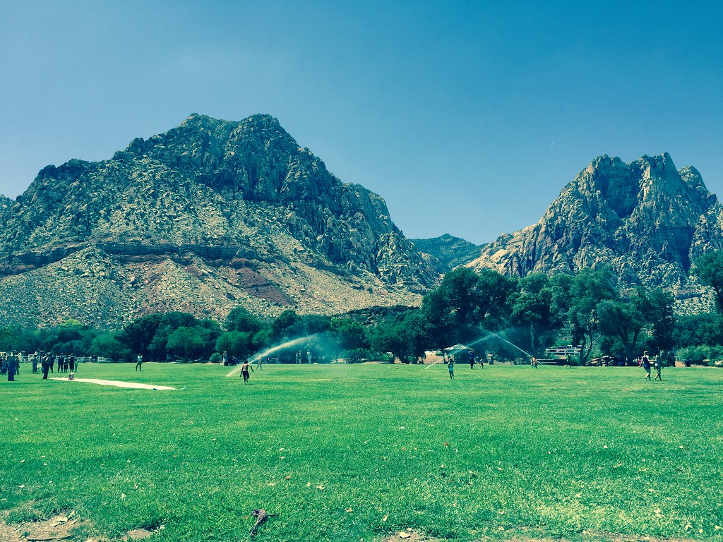
Red Rock Canyon Campground
Campground
Sites open the weekend of Nov 13 on Recreation.gov
Switchy Hill is a short, easy mountain biking climb on Bureau of Land Management land in the Red Rock/Sloan Field Office of Nevada. It starts and ends within about half a mile, and the route is an out-and-back of roughly 0.9 miles with a one-way gain of about 58 feet, so it's a quick ride that can be tacked on before or after another outing in the area. The most comfortable months for a visit are spring and fall. Typical averages from a nearby weather station run from highs around 70°F in April to about 75°F in October, while July and August average in the mid-90s. Cactus Slalom lies about 0.8 miles away, and Dave's Driveway and The Hurl are both within about a mile. The Old Spanish Trail hike is roughly 1.2 miles off.
Red Rock Canyon Campground
Campground
Places © OpenStreetMap contributors
More in Sandy ValleyBest months: February–May and October–November. Best months have typical highs of 55–85 °F, lows of 30 °F or warmer (32 °F where the station doesn't record snow), at most one snowy day and no more than 12 wet days.
Jan
53° / 32°
4 wet
Feb
56° / 35°
5 wet
Mar
64° / 41°
4 wet
Apr
70° / 47°
2 wet
May
80° / 56°
1 wet
Jun
90° / 66°
1 wet
Jul
95° / 73°
2 wet
Aug
94° / 72°
2 wet
Sep
87° / 62°
2 wet
Oct
75° / 50°
2 wet
Nov
62° / 38°
2 wet
Dec
52° / 31°
3 wet
Typical high / low (°F) and days with rain or snow, 1991–2020. Measured at Red Rock Canyon - Spg Mt Rch S, NV, 3.4 mi away at 3,780 ft. This station doesn't record snowfall. Source: NOAA NCEI U.S. Climate Normals 1991–2020.
 Photo: Lauren Kay lakael, CC0 (via Wikimedia Commons)
Bob Gnarly
~10 min drive
1.67-mile trail in Ice Box Canyon, Nevada, gaining 328 ft.
RIDE
Cactus Slalom
~1 min drive
1.33-mile easy singletrack in Nevada with 64 ft of elevation gain.
RIDE
Dave's Driveway
~2 min drive
0.19-mile difficult out-and-back trail in Nevada with 6 ft elevation gain on mixed terrain.
RIDE
Upper Dead Horse
~6 min drive
0.98-mile out-and-back trail in Nevada with 515 ft elevation gain.
 Photo: Hermann Luyken, CC0 (via Wikimedia Commons)
Tunneling into Red Rock
~12 min drive
0.60-mile trail in Ice Box Canyon, Nevada with 83 ft elevation gain.
RIDE
Lil' Daytona
~2 min drive
1.38-mile easy out-and-back trail in Nevada with 110 ft of elevation gain
RIDE
The Hurl
~2 min drive
3.61-mile out-and-back trail in Nevada with 919 ft elevation gain.
RIDE
Badger Pass Climb
~7 min drive
0.37-mile out-and-back climb in Nevada with 50 ft gain on mixed terrain.
 Photo: Hermann Luyken, CC0 (via Wikimedia Commons)
Brokeback Mountain
~12 min drive
3.96-mile trail in Ice Box Canyon, Nevada with 451 ft elevation gain
RIDE
Molly's
~2 min drive
1.81-mile easy out-and-back trail in Nevada with 422 ft elevation gain.
Map and trail data © OpenStreetMap contributors