Washoe Lake State Park Campground
Campground
Campground · 0.9 mi from the trail
 Photo: Ken Lund from Reno, Nevada, USA, CC BY-SA 2.0 (via Wikimedia Commons)
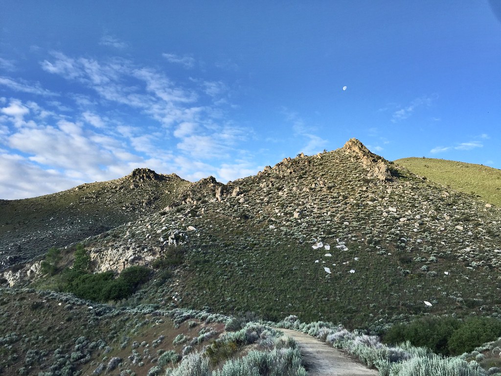
Wildlife Loop Trail is a short, easy loop in Washoe Lake State Park in Nevada, managed by State Park and Recreation. The trail is 0.84 miles long and sits at about 5,040 feet, with a total elevation gain of 8 feet. It's a flat, low-effort walk that makes an easy addition to a day at the park. The most comfortable months for a visit are typically late spring and early fall. Typical averages from a nearby weather station in Carson City show May highs around 70°F and September highs around 81°F, while July averages about 90°F and winter brings highs in the mid-40s and a few snowy days a month. Washoe Lake State Park Campground is about 0.9 miles away, and Prospect Rd is about 1.6 miles off. Climbers can head to Washoe Boulders, about 3.2 miles away, and Mt. Rose Campground is roughly 7.9 miles from the trail.
Washoe Lake State Park Campground
Campground
Glen Eagles
Restaurant
Fox Cultural Hall
Museum
Places © OpenStreetMap contributors
More in Sunnyside-Tahoe CityNot on Roamze yet. Their page has how to reach them.
 County Route 270HikingPhoto: jfdervin, CC BY-SA 2.0 (via Flickr)1.8 miFranktown Creek RoadHikingPhoto: jfdervin, CC BY-SA 2.0 (via Flickr)1.8 mi
 Washoe BouldersRock climbingPhoto: jfdervin, CC BY-SA 2.0 (via Flickr)3.2 miRight TwinRock climbingPhoto: jfdervin, CC BY-SA 2.0 (via Flickr)3.2 mi
Source: Roamze catalog (indexable pages within 10 miles, PostGIS distance)
 Hospital TrailHiking · ~3 min drivePhoto: jfdervin, CC BY-SA 2.0 (via Flickr)Franktown Creek RoadHiking · ~3 min drivePhoto: jfdervin, CC BY-SA 2.0 (via Flickr)
 Rocky TrailHiking · ~9 min drivePhoto: Nouhailler, CC BY-SA 2.0 (via Flickr)County Route 270Hiking · ~3 min drivePhoto: jfdervin, CC BY-SA 2.0 (via Flickr)
 Goni RoadHiking · ~7 min drivePhoto: jfdervin, CC BY-SA 2.0 (via Flickr)
 EZ TrailHiking · ~9 min drivePhoto: jfdervin, CC BY-SA 2.0 (via Flickr)
 Deadman's Creek TrailHiking · ~3 min drivePhoto: Seth Tisue, CC BY-SA 2.0 (via Flickr)
 Lincoln BypassHiking · ~8 min drivePhoto: Wheeler Cowperthwaite, CC BY 2.0 (via Flickr)
 Snapdragon TrailHiking · ~10 min drivePhoto: bensondoc, CC BY-SA 2.0 (via Flickr)Hobart RoadHiking · ~3 min drivePhoto: jfdervin, CC BY-SA 2.0 (via Flickr)
Best months: March–June and September–October. Best months have typical highs of 55–85 °F, lows of 30 °F or warmer (32 °F where the station doesn't record snow), at most one snowy day and no more than 12 wet days.
Jan
45° / 24°
6 wet · 2 snow
Feb
50° / 27°
6 wet · 1 snow
Mar
56° / 32°
5 wet · 1 snow
Apr
62° / 36°
3 wet
May
70° / 43°
3 wet
Jun
81° / 49°
2 wet
Jul
90° / 55°
1 wet
Aug
88° / 53°
1 wet
Sep
81° / 46°
1 wet
Oct
68° / 36°
2 wet
Nov
55° / 28°
3 wet · 1 snow
Dec
45° / 24°
5 wet · 1 snow
Typical high / low (°F) and days with rain or snow, 1991–2020. Measured at Carson City, NV, 7.2 mi away at 4,761 ft. Source: NOAA NCEI U.S. Climate Normals 1991–2020.
Map and trail data © OpenStreetMap contributors
