Red Rock Canyon Campground
Campground
Sites open the weekend of Dec 4 on Recreation.gov
 Photo: planeta, CC BY-SA 2.0 (via Flickr)
Closure in the area
There's a closure order in Humboldt-Toiyabe National Forest. It doesn't name WILDERNESS TRAIL, so check the source for the area it covers.
Elephant Fire Closure
Agency closure covering Humboldt-Toiyabe National Forest · Order 04-17-26-01-04 · USFS · Humboldt-Toiyabe National Forest
Area, Road, and Trail Closures (Spring Mountains National Recreation Area)
Agency alert covering Humboldt-Toiyabe National Forest · Order 04-17-25-04 · USFS · Humboldt-Toiyabe National Forest
Year-Round Fire Restrictions (Spring Mountains National Recreation Area)
Agency alert covering Humboldt-Toiyabe National Forest · Order 04-17-24-01 · USFS · Humboldt-Toiyabe National Forest
Vehicle Snow Chain Requirements during Inclement Weather (Spring Mountains National Recreation Area)
Agency alert covering Humboldt-Toiyabe National Forest · Order 04-17-23-01 · USFS · Humboldt-Toiyabe National Forest
Rainbow Canyon Flood Diversion Structure Closure (Spring Mountains National Recreation Area)
Agency alert covering Humboldt-Toiyabe National Forest · Order 04-17-15-01 · USFS · Humboldt-Toiyabe National Forest
As of · Source: USFS · Humboldt-Toiyabe National Forest. Agencies don't list every closure — check before you go.
The Wilderness Trail is a moderate out-and-back hike in Nevada's Spring Mountains National Recreation Area, part of the Humboldt-Toiyabe National Forest. The route is about 8.5 miles long, with a total elevation gain and loss of 699 feet each way, and it reaches a high point of 5,388 feet. The trail starts at roughly 4,840 feet and climbs to that peak before descending again. Spring and fall are the most comfortable times to go. Typical averages from a nearby weather station show highs around 70°F in April and 75°F in October. That station sits about 1,600 feet lower than the trail, so temperatures on the route run cooler. July and August typically reach the mid-90s. The trail takes about three hours to complete. Other outings close by include the Old Spanish Trail, about 2.4 miles away, and the Footnote Wall and Story Crag Main Wall climbing areas, both about 3.8 miles off. The Descent Black Velvet Peak hike is about 4.4 miles away.
Red Rock Canyon Campground
Campground
Mountain Springs Saloon
Pub
Places © OpenStreetMap contributors
More in Sandy Valley Old Spanish TrailHikingPhoto: Ken Lund from Reno, Nevada, USA, CC BY-SA 2.0 (via Wikimedia Commons)2.4 mi
 Cactus JoesRock climbingPhoto: Ken Lund, CC BY-SA 2.0 (via Flickr)3.8 mi
Source: Roamze catalog (indexable pages within 10 miles, PostGIS distance)
Old Spanish TrailHiking · ~4 min drivePhoto: Ken Lund from Reno, Nevada, USA, CC BY-SA 2.0 (via Wikimedia Commons) Escarpment BaseHiking · ~11 min drivePhoto: Sean Williams 297, CC BY 2.0 (via Flickr)
 Grand Circle TrailHiking · ~17 min drivePhoto: joannapoe, CC BY-SA 2.0 (via Flickr)Old Spanish TrailHiking · ~5 min drivePhoto: Ken Lund from Reno, Nevada, USA, CC BY-SA 2.0 (via Wikimedia Commons)KnollHiking · ~11 min drivePhoto: Sean Williams 297, CC BY 2.0 (via Flickr)
 White Rock LoopHiking · ~17 min drivePhoto: lgoub, CC BY 2.0 (via Flickr)
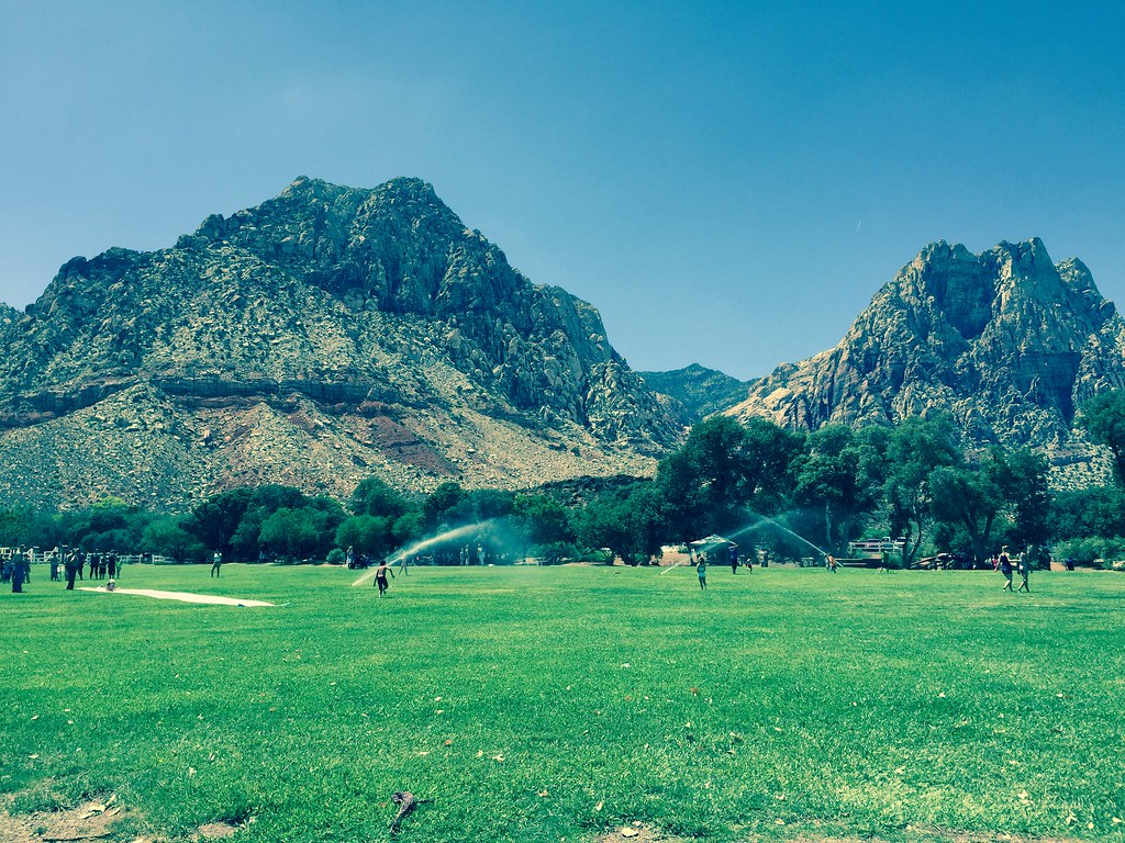 South Ash Grove LoopHiking · ~10 min drivePhoto: christie_verbose, CC BY 2.0 (via Flickr)
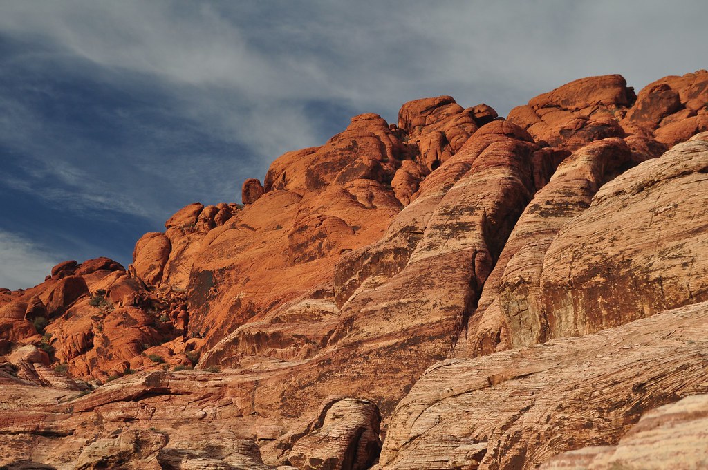 First Creek CanyonHiking · ~12 min drivePhoto: lsiegert, CC BY 2.0 (via Flickr)
 Valley TrailHiking · ~11 min drivePhoto: christie_verbose, CC BY 2.0 (via Flickr)
Best months: February–May and October–November. Best months have typical highs of 55–85 °F, lows of 30 °F or warmer (32 °F where the station doesn't record snow), at most one snowy day and no more than 12 wet days.
Jan
53° / 32°
4 wet
Feb
56° / 35°
5 wet
Mar
64° / 41°
4 wet
Apr
70° / 47°
2 wet
May
80° / 56°
1 wet
Jun
90° / 66°
1 wet
Jul
95° / 73°
2 wet
Aug
94° / 72°
2 wet
Sep
87° / 62°
2 wet
Oct
75° / 50°
2 wet
Nov
62° / 38°
2 wet
Dec
52° / 31°
3 wet
Typical high / low (°F) and days with rain or snow, 1991–2020. Measured at Red Rock Canyon - Spg Mt Rch S, NV, 5.7 mi away at 3,780 ft. The station sits about 1,600 ft lower than this place, so expect it a little cooler here. This station doesn't record snowfall. Source: NOAA NCEI U.S. Climate Normals 1991–2020.

