

Red Rock Canyon Campground
Campground
Sites open the weekend of Dec 4 on Recreation.gov
Overlook Loop is an easy hike of about 1.4 miles in Spring Mountain Ranch State Park in Nevada, managed by State Park and Recreation. The trail is an out-and-back that climbs from a starting point near 3,750 feet to a high point of about 7,200 feet, with a total elevation gain of roughly 527 feet over the round trip. The route is short and gentle, and it works well as a quick outing. The climb is spread across the full length of the trail, which is about 2.8 miles round trip, and the trail is not open to horses or bikes. Summer is the most comfortable time to go. Typical averages from a nearby weather station at a similar elevation show July highs around 79°F with lows near 52°F, while winter highs sit in the mid-40s. Several other trails and climbing areas sit close by. South Ash Grove Loop and Sandstone Canyon Loop are each about 0.2 miles away, and Sandstone Canyon Boulders is about 0.7 miles off. Red Rock Canyon Campground is about 6 miles away for an overnight stay.
Where it is: Spring Mountain Ranch State Park
Near: Las Vegas
Best months: May–October. Best months have typical highs of 55–85 °F, lows of 30 °F or warmer (32 °F where the station doesn't record snow), at most one snowy day and no more than 12 wet days.
Jan
44°
22°
6 wet
Feb
44°
22°
6 wet
Mar
49°
26°
6 wet
Apr
55°
30°
4 wet
May
63°
37°
4 wet
Jun
74°
46°
2 wet
Jul
79°
52°
5 wet
Aug
78°
52°
6 wet
Sep
72°
44°
4 wet
Oct
62°
35°
3 wet
Nov
51°
27°
4 wet
Dec
44°
21°
5 wet
Typical high / low (°F) and days with rain or snow, 1991–2020. Measured at Mt Charleston Fire Stn, NV, 16.7 mi away at 7,460 ft. This station doesn't record snowfall. Source: NOAA NCEI U.S. Climate Normals 1991–2020.
Been here? Tell people how it was.
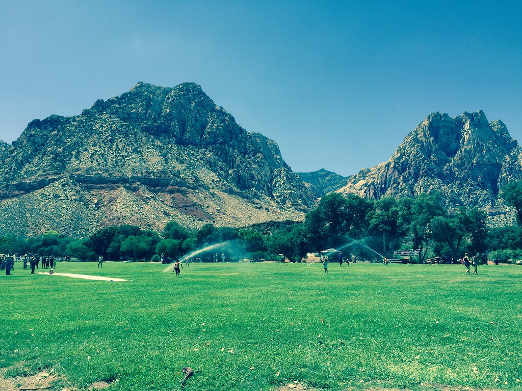 South Ash Grove LoopHikingPhoto: christie_verbose, CC BY 2.0 (via Flickr)0.2 mi
 Sandstone Canyon BouldersRock climbingPhoto: ZooFari, CC BY-SA 3.0 (via Wikimedia Commons)0.7 mi
 Valley TrailHikingPhoto: christie_verbose, CC BY 2.0 (via Flickr)0.8 mi
 The SchoolyardRock climbingPhoto: christie_verbose, CC BY 2.0 (via Flickr)0.9 miMudterm AreaRock climbingPhoto: christie_verbose, CC BY 2.0 (via Flickr)1 mi
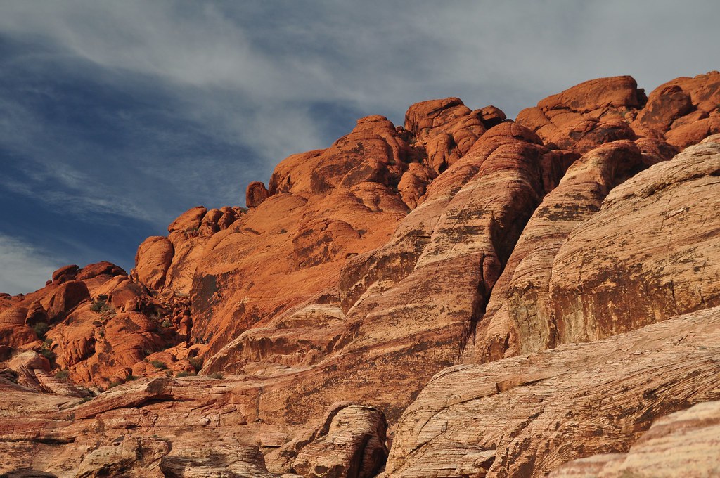 First Creek CanyonHikingPhoto: lsiegert, CC BY 2.0 (via Flickr)1 mi
 Red Rock Canyon CampgroundCampingPhoto: Recreation.gov (RIDB) / public domain6 miSouth Ash Grove LoopHikingPhoto: christie_verbose, CC BY 2.0 (via Flickr)Next doorFirst Creek CanyonHikingPhoto: lsiegert, CC BY 2.0 (via Flickr)~2 min driveValley TrailHikingPhoto: christie_verbose, CC BY 2.0 (via Flickr)~1 min drive
 S Oak Creek CanyonHikingPhoto: Ken Lund, CC BY-SA 2.0 (via Flickr)~3 min driveShadow of Mount WilsonHikingPhoto: Ken Lund, CC BY-SA 2.0 (via Flickr)~2 min drive
 KnollHikingPhoto: Sean Williams 297, CC BY 2.0 (via Flickr)~4 min driveN Oak Creek CanyonHikingPhoto: Sean Williams 297, CC BY 2.0 (via Flickr)~5 min driveEscarpment BaseHikingPhoto: Sean Williams 297, CC BY 2.0 (via Flickr)~5 min drive
 Arnight TrailHikingPhoto: joannapoe, CC BY-SA 2.0 (via Flickr)~5 min drive
Also worth it near here
Daily highs and lows, wind and the chance of precipitation at Start for the next 7 days, from the Open-Meteo model.
Questions about Overlook Loop: conditions, access, timing. Answers say when something isn't known.
Red Rock Canyon Campground
Campground
Places © OpenStreetMap contributors
More in Sandy Valley