Sonoma Creek Access Trail
- 1.4 mi
- round trip
- 1,385 ft
- climb
- 6,235 ft
- high point
- Out and back
- route
Sonoma Creek Access Trail is a moderate out-and-back hike on Bureau of Land Management land within the Humboldt River Field Office in Nevada. The trail is about 2.9 miles long and rises from roughly 5,627 feet to about 6,235 feet, with a total climb of 1,385 feet. The route is rated moderate, and the steepest section comes early, around mile 0.35, with a 16% grade. The trip takes about 1.5 hours. Several other trails sit close by. Somoma Peak Trail is about 1.9 miles away and Sonoma Crest Trail about 2.3 miles. Water Canyon Trail and Mullen Canyon Trail are both within 4.5 miles. For time on the water, Clear Creek is about 6.4 miles off.
Keep exploring — more trails worth the drive
 Photo: Ken Lund, CC BY-SA 2.0 (via Flickr)
Water Canyon Trail
~6 min drive
3.72-mile out-and-back trail in Nevada with 1,377 ft elevation gain
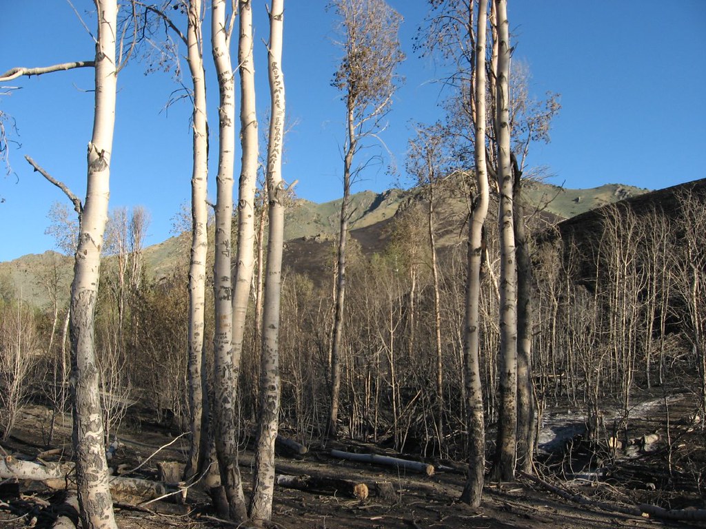 Photo: Ken Lund, CC BY-SA 2.0 (via Flickr)
Water Canyon Overlook Trail
~8 min drive
0.56-mile out-and-back hike in Nevada with 20 ft of elevation gain.
 Photo: Jürgen Regel, Marian…, CC BY 3.0 (via Wikimedia Commons)
Old California Trail
~54 min drive
38.06-mile out-and-back trail in Nevada with 162 ft elevation gain/loss
HIKE
Summit Trail
~1h 15m drive
Expert 16.81-mile Nevada summit route with substantial elevation gain.
 Photo: Ken Lund, CC BY-SA 2.0 (via Flickr)
Moose Head Mine Trail
~7 min drive
3.44-mile out-and-back trail in Nevada with 2,050 ft elevation gain and loss.
 Photo: Ken Lund, CC BY-SA 2.0 (via Flickr)
Water Canyon-Bloody Shins Connector
~9 min drive
1.88-mile out-and-back trail in Nevada with 530 ft gain and 5,555 ft max elevation.
HIKE
Sonoma Crest Trail
~4 min drive
5.98-mile out-and-back trail in Nevada with 2,610 ft elevation gain and loss, reaching 8,952 ft.
 Photo: Matt Lavin, CC BY-SA 2.0 (via Flickr)
Pole Line Trail
~20 min drive
1.64-mile out-and-back trail in Nevada with 1,711 ft elevation gain
Photo: Ken Lund, CC BY-SA 2.0 (via Flickr)Nature Trail
~9 min drive
0.66-mile out-and-back trail in Nevada with 192 ft elevation gain
HIKE
Upper Mountain Trail
~21 min drive
7.14-mile out-and-back hike in Nevada with 4,461 ft gain/loss.
Map and trail data © OpenStreetMap contributors
