Interpretive Trail
At a glance
The Interpretive Trail is a short, easy hike in Beaver Dam State Park in Nevada, managed by State Park and Recreation. The trail is about 0.37 miles long and rises about 262 feet from its starting point, which sits at roughly 5,272 feet. The climb is front-loaded, with the steepest stretch at about 0.14 miles in, and the trail turns back at the top, which reaches about 5,494 feet. Spring and fall are the most comfortable times to go. Typical averages from a nearby weather station in Modena, Utah, show May highs around 76°F and October highs around 70°F, while July averages about 93°F and January lows drop to about 18°F. The Beaver Dam Wash Trail lies about 0.4 miles away, and the Sheep Canyon Waterfall Trail is about 1.8 miles off. Across the Utah line, the South Boundary Trail and White Hollow Trail are each within about 4 miles.
- round trip
- 0.4 mi
- climb
- 301 ft
- high point
- 5,494 ft
- route
- Out and back
- time
- About 15 minutes
- best months
- Early Apr–late May, late Sep–late Oct
Where it is: Beaver Dam State Park
Near: Enterprise
Best weeks to go
Early April to late May and late September to late October are usually best for hiking here.
Typical highs of 64–80°F and lows of 30°F or warmer in those weeks.
Typical weather: NOAA 1991–2020 normals at Modena, UT, 21 mi away. Not a forecast.
Typical weather by monthBest time to visit Interpretive Trail
Best months: April–May and October. Best months are the ones mostly made of the best weeks for hiking: typical temperatures in its comfortable range, few snowy days and not usually wet, judged with the same limits as our good-day forecasts.
Jan
44°
18°
Feb
49°
21°
Mar
58°
26°
Apr
65°
31°
May
76°
38°
Jun
87°
46°
Jul
93°
55°
Aug
90°
53°
Sep
83°
45°
Oct
70°
33°
Nov
55°
22°
Dec
44°
16°
Typical high / low (°F) and days with rain or snow, 1991–2020. Measured at Modena, UT, 21.4 mi away at 5,460 ft. This station doesn't record snowfall. Source: NOAA NCEI U.S. Climate Normals 1991–2020.
Been here? Tell people how it was.
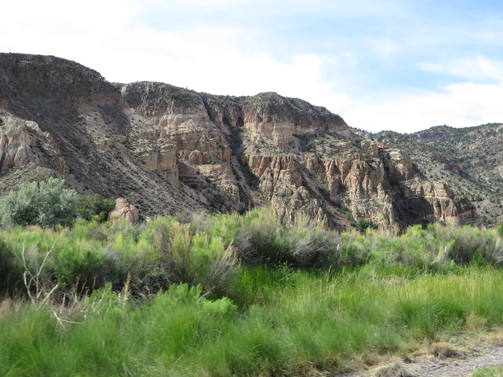 Canyon Overlook LoopHikingPhoto: Ken Lund, CC BY-SA 2.0 (via Flickr)~42 min drive
- Rainbow RimHikingPhoto: Ken Lund, CC BY-SA 2.0 (via Flickr)~43 min drive
- Hard Scrabble TrailHiking~39 min drive
- Ella Mountain TrailHiking~41 min drive
 Nature TrailHikingPhoto: Matt Lavin, CC BY-SA 2.0 (via Flickr)~48 min drive
 Hawk's Ridge TrailHikingPhoto: Jon Gudorf Photography, CC BY-SA 2.0 (via Flickr)~49 min drive
- South Boundary TrailHiking~6 min drive
- Connector TrailHiking~41 min drive
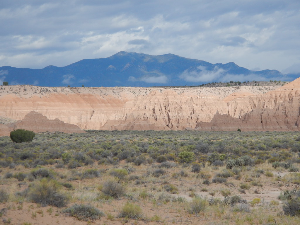 Juniper Draw Loop TrailHikingPhoto: Matt Lavin, CC BY-SA 2.0 (via Flickr)~48 min drive
 Eagle Point TrailHikingPhoto: snowpeak, CC BY 2.0 (via Flickr)~49 min drive
Conditions and forecast
Daily highs and lows, wind and the chance of precipitation at Start for the next 7 days, from the Open-Meteo model.

Ask about this place
Questions about Interpretive Trail: conditions, access, timing. Answers say when something isn't known.
Local outfitters
- Hillside Palms RV Park39 mi away
- St George RV Park & Campgrounds40 mi away
Not on Roamze yet. Their page has how to reach them.
Map and trail data © OpenStreetMap contributors
