White Hollow Trail
- 5.2 mi
- round trip
- 440 ft
- climb
- 6,218 ft
- high point
- Out and back
- route
- Apr–Jun, Sep–Oct
- best months
Caution at last check
Agency alerts are in effect for this area; weather is good · USFS, OpenWeather · checked 12 h ago
Is White Hollow Trail open right now?
Alert in the area
The Forest Service lists 3 alerts for Dixie National Forest.
Duck Creek OHV Trail Closure
Agency alert covering Dixie National Forest · Order 0407-26-11 · USFS · Dixie National Forest
Pine Valley Ranger District Area and Trail and Road Closure
Agency alert covering Dixie National Forest · Order 0407-26-01 · USFS · Dixie National Forest
Cedar City Temporary Road Closure Webster Flat Road (Order 0407-25-02)
Agency alert covering Dixie National Forest · Order 0407-25-02 · USFS · Dixie National Forest
As of · Source: USFS · Dixie National Forest. Agencies don't list every closure — check before you go.
White Hollow Trail is a 5.2-mile out-and-back hike in Utah's Dixie National Forest, within the Pine Valley Ranger District. It rises about 440 feet from a low point of 5,918 feet to a high of 6,218 feet. The Forest Service manages the land, and the trailhead is listed as open year-round. Spring and fall are the most comfortable seasons to go. Typical averages from a nearby weather station in Enterprise run to highs around 73°F in May and 67°F in October. That station sits about 900 feet lower than the trail's high point, so temperatures on the higher ground run cooler. The trail is rated moderate, and the natural surface allows bikes. South Boundary Trail starts less than a mile away. Colie Flat Road and Sheep Canyon Waterfall Trail are each about 4 miles off, and Enterprise Reservoir is roughly 8.5 miles away.
Local outfitters
- Hillside Palms RV Park39 mi away
- St George RV Park & Campgrounds39 mi away
Not on Roamze yet. Their page has how to reach them.
Best time to go · Apr–Jun, Sep–Oct
Best time to visit White Hollow Trail
Best months: April–June and September–October. Best months have typical highs of 55–85 °F, lows of 30 °F or warmer (32 °F where the station doesn't record snow), at most one snowy day and no more than 12 wet days.
Jan
42° / 19°
4 wet · 2 snow
Feb
47° / 20°
5 wet · 2 snow
Mar
57° / 26°
5 wet · 1 snow
Apr
64° / 30°
4 wet
May
73° / 39°
4 wet
Jun
83° / 48°
2 wet
Jul
90° / 56°
4 wet
Aug
87° / 55°
4 wet
Sep
81° / 45°
3 wet
Oct
67° / 32°
3 wet
Nov
54° / 23°
3 wet · 1 snow
Dec
42° / 17°
4 wet · 2 snow
Typical high / low (°F) and days with rain or snow, 1991–2020. Measured at Enterprise, UT, 16.8 mi away at 5,320 ft. The station sits about 900 ft lower than this place, so expect it a little cooler here. Source: NOAA NCEI U.S. Climate Normals 1991–2020.
Keep exploring — more trails worth the drive
 Photo: Kopachris, CC BY-SA 3.0 (via Wikimedia Commons)
Snow Canyon Overlook
~47 min drive
0.48-mile out-and-back trail in Utah with 84 ft elevation gain.
Photo: Kopachris, CC BY-SA 3.0 (via Wikimedia Commons)Red Mountain
~47 min drive
5.43-mile lollipop trail on Red Mountain in Utah with 428 ft of elevation gain.
HIKE
South Boundary Trail
~1 min drive
A 45-mile expert backcountry route with 4,077 ft elevation gain.
HIKE
South Boundary Trail
~20 min drive
9.79-mile out-and-back hike in Utah with 3,112 ft elevation gain.
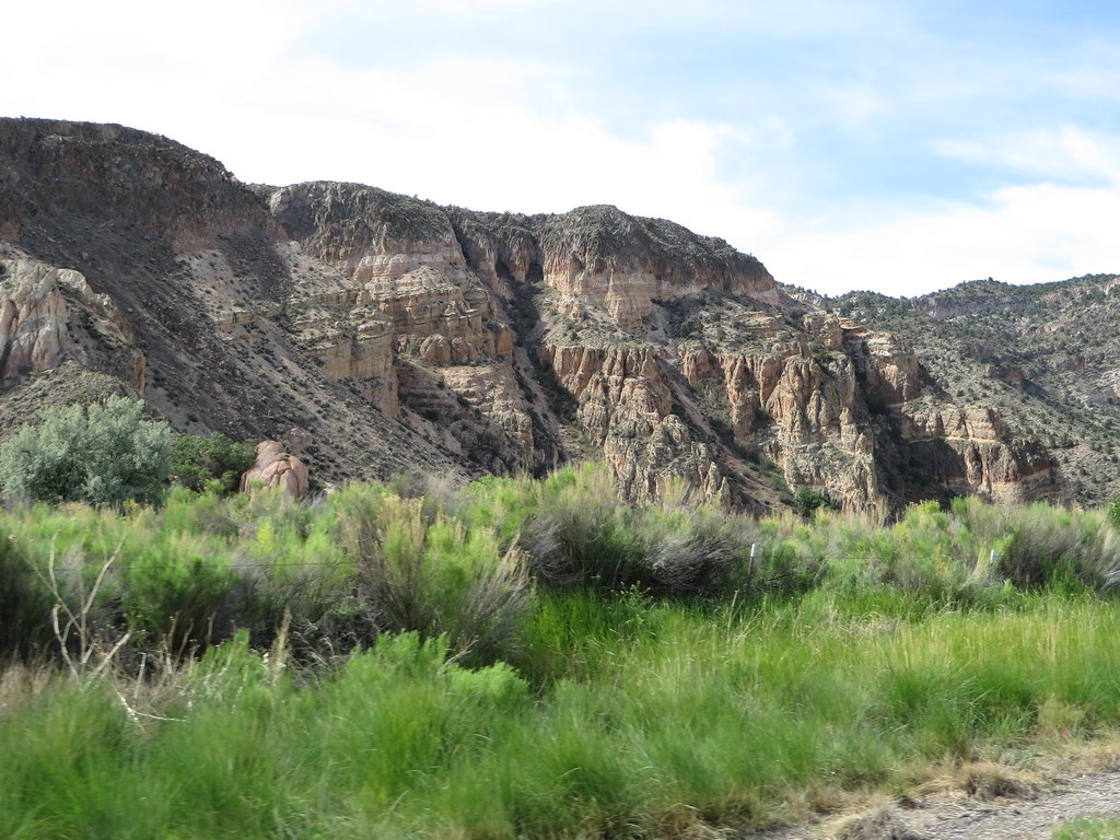 Photo: Ken Lund, CC BY-SA 2.0 (via Flickr)
Rainbow Rim
~48 min drive
Short out-and-back trail featuring colorful mineral-stained rock formations.
Photo: Ken Lund, CC BY-SA 2.0 (via Flickr)Canyon Overlook Loop
~48 min drive
Easy out-and-back hike to canyon overlook views in Nevada.
HIKE
South Boundary Trail
~7 min drive
5.76-mile out-and-back hike in Utah with 6,912 ft elevation gain.
HIKE
Ella Mountain Trail
~46 min drive
43.42-mile out-and-back hike in Nevada with 3,249 ft gain/loss.
HIKE
Interpretive Trail
~7 min drive
0.74-mile out-and-back hike in Nevada with 301 ft elevation gain
 Photo: Matt Lavin, CC BY-SA 2.0 (via Flickr)
Nature Trail
~50 min drive
Moderate 6.97-mile out-and-back Nevada nature trail with scenic terrain.

