Connector Trail
- 9.0 mi
- round trip
- 4,435 ft
- climb
- 5,006 ft
- high point
- Out and back
- route
- Apr–May, Oct
- best months
Caution at last check
Weather is marginal · OpenWeather · checked 17 h ago
Connector Trail is a 18-mile out-and-back hike in Nevada, about a mile from the town of Caliente. The route starts at roughly 4,894 feet and climbs to a high point of 5,006 feet, with a total elevation gain of 4,435 feet over the course of the trip. That makes it a long, steep outing, and the steepest stretch comes at about 2.7 miles in, where the grade reaches 30 percent. Spring and fall are the most comfortable times to go. Typical averages from a nearby weather station in Caliente show May highs around 79°F and October highs around 74°F, while July averages climb to 97°F and winter lows dip to about 18°F. The hike takes about eight hours to complete. Ella Mountain Trail and Kershaw Redemption both lie within a mile of the trail, and Canyon Overlook Loop and Rainbow Rim are a little farther out.
- Ella Mountain TrailHiking0.6 mi
- Kershaw RedemptionHiking0.9 mi
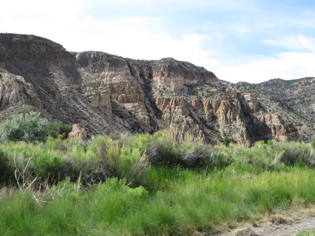 Canyon Overlook LoopHikingPhoto: Ken Lund, CC BY-SA 2.0 (via Flickr)1.1 mi
- Rainbow RimHikingPhoto: Ken Lund, CC BY-SA 2.0 (via Flickr)1.4 mi
- Pitfall TrailHiking1.6 mi
- Parachute Peak TrailHiking1.6 mi
- Home Run TrailHiking1.7 mi
- Barnes Canyon Trailhead - PrimerHiking3.2 mi
Source: Roamze catalog (indexable pages within 10 miles, PostGIS distance)
- Canyon Overlook LoopHiking · ~2 min drivePhoto: Ken Lund, CC BY-SA 2.0 (via Flickr)
 Eagle Point TrailHiking · ~29 min drivePhoto: snowpeak, CC BY 2.0 (via Flickr)
- Silver State TrailHiking · ~12 min drive
- Ella Mountain TrailHiking · Next door
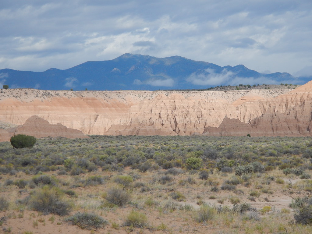 Juniper Draw Loop TrailHiking · ~28 min drivePhoto: Matt Lavin, CC BY-SA 2.0 (via Flickr)
 Crystal Wash Petroglyphs TrailHiking · ~1h 2m drivePhoto: Ken Lund, CC BY-SA 2.0 (via Flickr)
- Red Rhyolite TrailHiking · ~19 min drive
- South Boundary TrailHiking · ~1h 4m drive
 Nature TrailHiking · ~28 min drivePhoto: Matt Lavin, CC BY-SA 2.0 (via Flickr)
- Rainbow RimHiking · ~2 min drivePhoto: Ken Lund, CC BY-SA 2.0 (via Flickr)
Best time to visit Connector Trail
Best months: April–May and October. Best months have typical highs of 55–85 °F, lows of 30 °F or warmer (32 °F where the station doesn't record snow), at most one snowy day and no more than 12 wet days.
Jan
49° / 19°
4 wet
Feb
53° / 23°
5 wet
Mar
62° / 28°
5 wet
Apr
69° / 34°
4 wet
May
79° / 42°
4 wet
Jun
90° / 50°
3 wet
Jul
97° / 57°
4 wet
Aug
94° / 55°
4 wet
Sep
87° / 46°
3 wet
Oct
74° / 34°
3 wet
Nov
60° / 24°
3 wet
Dec
48° / 18°
4 wet
Typical high / low (°F) and days with rain or snow, 1991–2020. Measured at Caliente, NV, 1.6 mi away at 4,379 ft. The station sits about 600 ft lower than this place, so expect it a little cooler here. This station doesn't record snowfall. Source: NOAA NCEI U.S. Climate Normals 1991–2020.

Map and trail data © OpenStreetMap contributors
