Juniper Draw Loop Trail
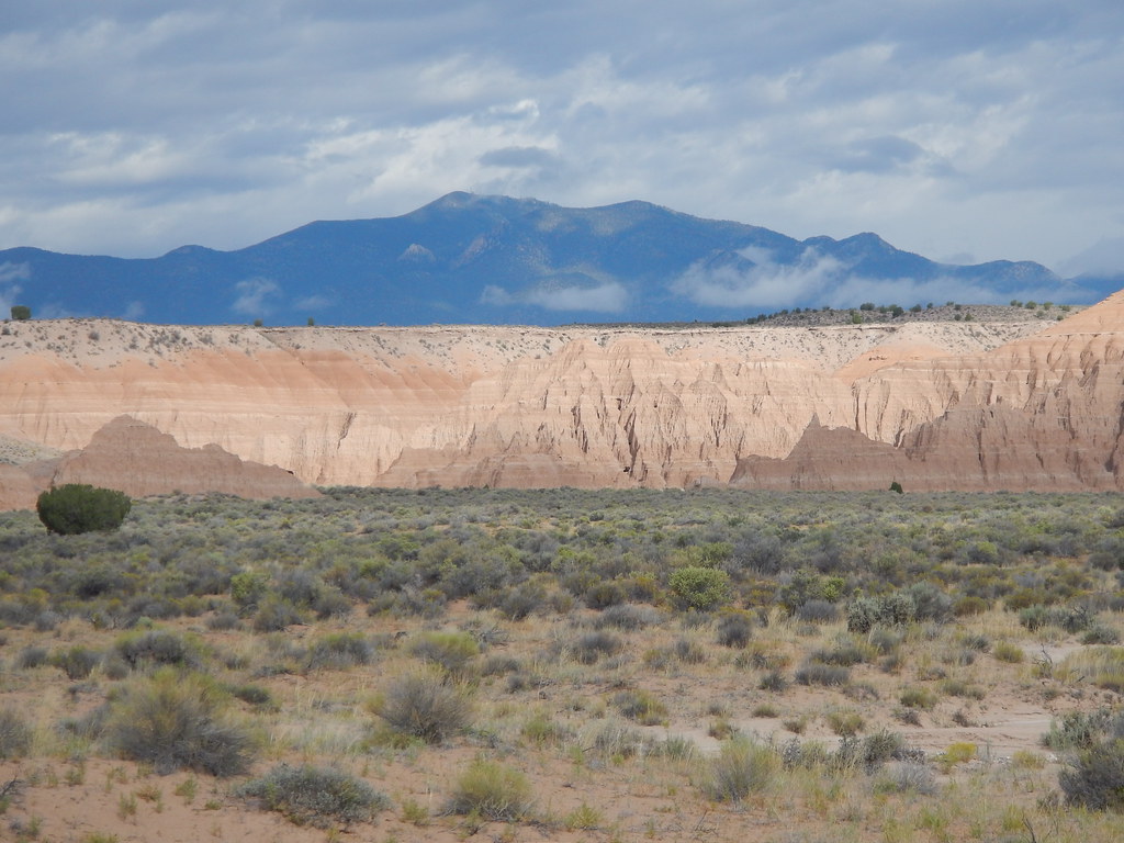 Photo: Matt Lavin, CC BY-SA 2.0 (via Flickr)
- 2.7 mi
- round trip
- 310 ft
- climb
- 4,917 ft
- high point
- Out and back
- route
- Apr–May, Sep–Oct
- best months
Juniper Draw Loop Trail is a 2.67-mile hike in Cathedral Gorge State Park in Nevada, managed by State Park and Recreation. The trail is an out-and-back route that starts and ends at the same point, with a total length of about 5.3 miles when you go out and back. The climb is gentle, with a total elevation gain of 77 feet, and the steepest stretch comes at about 1.7 miles in, where the grade reaches 6%. Spring and fall are the most comfortable times to go. Typical averages from a nearby weather station show May highs around 76°F and October highs around 71°F, while July averages about 93°F and January lows drop to about 20°F. The trail sits close to several other routes. The Nature Trail and Nature Loop Trail are each about 0.1 mile away, and Hawk's Ridge Trail and Eagle Point Trail are within a mile.
Best time to go · Apr–May, Sep–Oct
Best time to visit Juniper Draw Loop Trail
Best months: April–May and September–October. Best months have typical highs of 55–85 °F, lows of 30 °F or warmer (32 °F where the station doesn't record snow), at most one snowy day and no more than 12 wet days.
Jan
47° / 20°
5 wet
Feb
51° / 21°
6 wet
Mar
60° / 27°
6 wet
Apr
67° / 33°
5 wet
May
76° / 40°
4 wet
Jun
87° / 48°
3 wet
Jul
93° / 56°
5 wet
Aug
91° / 54°
5 wet
Sep
84° / 45°
4 wet
Oct
71° / 34°
4 wet
Nov
58° / 23°
3 wet
Dec
46° / 17°
5 wet
Typical high / low (°F) and days with rain or snow, 1991–2020. Measured at Cathedral Gorge Sp, NV, 1.3 mi away at 4,830 ft. This station doesn't record snowfall. Source: NOAA NCEI U.S. Climate Normals 1991–2020.
Keep exploring — more trails worth the drive
 Photo: Matt Lavin, CC BY-SA 2.0 (via Flickr)
Nature Trail
Next door
Moderate 6.97-mile out-and-back Nevada nature trail with scenic terrain.
 Photo: Jon Gudorf Photography, CC BY-SA 2.0 (via Flickr)
Hawk's Ridge Trail
Next door
4.92-mile out-and-back hike in Nevada with 686 ft elevation gain and loss.
HIKE
Ella Mountain Trail
~27 min drive
43.42-mile out-and-back hike in Nevada with 3,249 ft gain/loss.
HIKE
Silver State Trail
~31 min drive
10-mile out-and-back trail in Nevada with 1,201 ft elevation gain/loss.
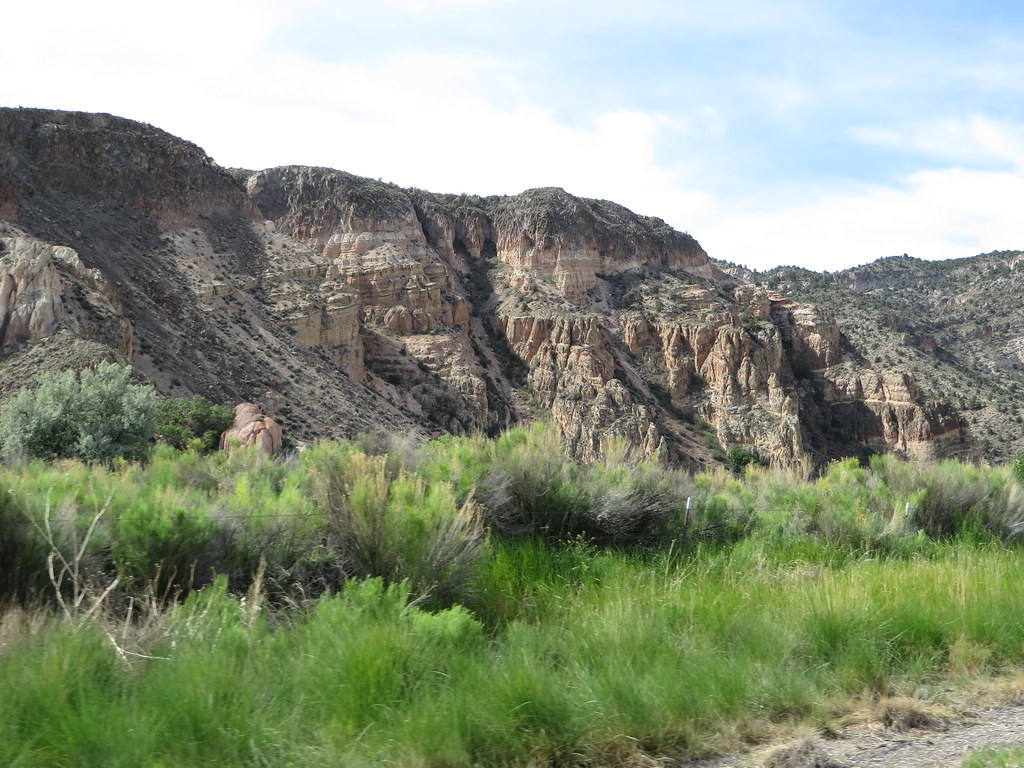 Photo: Ken Lund, CC BY-SA 2.0 (via Flickr)
Canyon Overlook Loop
~29 min drive
Easy out-and-back hike to canyon overlook views in Nevada.
 Photo: snowpeak, CC BY 2.0 (via Flickr)
Eagle Point Trail
~1 min drive
Quick lollipop hike to an elevated viewpoint in Nevada.
HIKE
Connector Trail
~28 min drive
18.02-mile out-and-back hike in Nevada with 4,435 ft elevation gain
HIKE
Red Rhyolite Trail
~37 min drive
14.3-mile out-and-back trail in Nevada with 1,450 ft gain/loss.
HIKE
Mongoose Trail
~25 min drive
5.3-mile out-and-back hike in Nevada with 1,406 ft elevation gain
Photo: Ken Lund, CC BY-SA 2.0 (via Flickr)Rainbow Rim
~29 min drive
Short out-and-back trail featuring colorful mineral-stained rock formations.
Map and trail data © OpenStreetMap contributors
