Hickison Petroglyph Recreation Area - Phase 1 Trails
- 12.6 mi
- distance
- 915 ft
- climb
- 7,337 ft
- high point
- Lollipop
- route
- May–Jun, Aug–Oct
- best months
Hickison Petroglyph Recreation Area - Phase 1 Trails is a 12.6-mile loop on Bureau of Land Management land in the Mount Lewis Field Office in Nevada. It rises from a low point of about 6,400 feet to a high of about 7,300 feet, with a total elevation gain of 915 feet. The route is rated hard. The trail is on natural surface, and it is open to both horses and bikes. Plan on about 4.5 hours to complete the loop, and allow time for the climb, which makes this a challenging outing rather than a short outing. The most comfortable months for a visit are late spring and early fall. Typical averages from a nearby weather station at Austin run to highs around 65°F in May and 75°F in September, with July peaking near 86°F. Nearby, the Pony Express Trail lies about 7.6 miles away, and Box Springs is about 8.8 miles away.
Source: Roamze catalog (indexable pages within 10 miles, PostGIS distance)
 Pony Express LoopHiking · ~22 min drivePhoto: Matt Lavin, CC BY-SA 2.0 (via Flickr)
 Pony Canyon DownhillHiking · ~24 min drivePhoto: Ken Lund, CC BY-SA 2.0 (via Flickr)
 Cahill Canyon RunHiking · ~25 min drivePhoto: Ken Lund, CC BY-SA 2.0 (via Flickr)
 Toiyabe Crest TrailHiking · ~50 min drivePhoto: Seth Tisue, CC BY-SA 2.0 (via Flickr)
- Bob Scott SlideHiking · ~24 min drive
 Gold Venture LoopHiking · ~27 min drivePhoto: Seth Tisue, CC BY-SA 2.0 (via Flickr)
- Bob Scott Slide AlternateHiking · ~21 min drive
- Castle LoopHiking · ~25 min drive
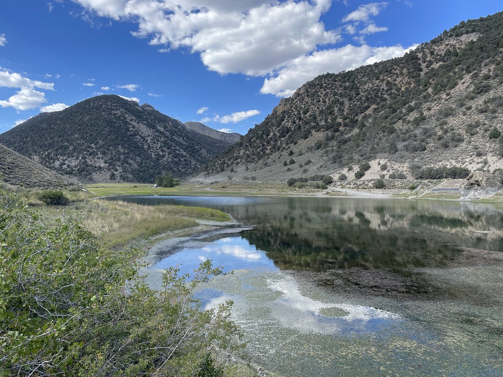 Camp Creek National Recreation - CaliforniaHiking · ~43 min drivePhoto: Seth Tisue, CC BY-SA 2.0 (via Flickr)
- Toquima Cave TrailHiking · ~34 min drive
Best time to visit Hickison Petroglyph Recreation Area - Phase 1 Trails
Best months: May–June and August–October. Best months have typical highs of 55–85 °F, lows of 30 °F or warmer (32 °F where the station doesn't record snow), at most one snowy day and no more than 12 wet days.
Jan
42° / 26°
6 wet · 5 snow
Feb
44° / 26°
5 wet · 4 snow
Mar
50° / 31°
6 wet · 4 snow
Apr
56° / 34°
6 wet · 3 snow
May
65° / 43°
6 wet · 1 snow
Jun
76° / 51°
3 wet
Jul
86° / 59°
2 wet
Aug
84° / 58°
2 wet
Sep
75° / 50°
2 wet
Oct
62° / 40°
2 wet · 1 snow
Nov
49° / 31°
4 wet · 3 snow
Dec
40° / 25°
5 wet · 5 snow
Typical high / low (°F) and days with rain or snow, 1991–2020. Measured at Austin #2, NV, 14.9 mi away at 6,780 ft. The station sits about 600 ft lower than this place, so expect it a little cooler here. Source: NOAA NCEI U.S. Climate Normals 1991–2020.
