Cahill Canyon Run
 Photo: Ken Lund, CC BY-SA 2.0 (via Flickr)
- 18.0 mi
- round trip
- 1,436 ft
- climb
- 7,900 ft
- high point
- Out and back
- route
- May–Jun, Aug–Oct
- best months
Cahill Canyon Run is a hard hike in Nevada's Forest Service land, about 0.7 miles from the town of Austin. The trail is an out-and-back of 18 miles, with a one-way elevation gain of 1,436 feet, taking you from a low point of about 6,832 feet to a high of about 7,900 feet. The most comfortable months for a visit are typically June and September, when typical averages from a nearby weather station in Austin run from highs around 76°F to 75°F and see only a couple of wet days each month. That station sits roughly 1,100 feet below the trail's high point, so temperatures up top run cooler. The trail is open year-round, and bikes are allowed on its natural surface. Castle Loop lies just 0.4 miles away, and Pony Canyon Downhill and Gold Venture Loop are both within about a mile and a half. Bob Scott Campground is about 3.9 miles off.
Best time to go · May–Jun, Aug–Oct
Best time to visit Cahill Canyon Run
Best months: May–June and August–October. Best months have typical highs of 55–85 °F, lows of 30 °F or warmer (32 °F where the station doesn't record snow), at most one snowy day and no more than 12 wet days.
Jan
42° / 26°
6 wet · 5 snow
Feb
44° / 26°
5 wet · 4 snow
Mar
50° / 31°
6 wet · 4 snow
Apr
56° / 34°
6 wet · 3 snow
May
65° / 43°
6 wet · 1 snow
Jun
76° / 51°
3 wet
Jul
86° / 59°
2 wet
Aug
84° / 58°
2 wet
Sep
75° / 50°
2 wet
Oct
62° / 40°
2 wet · 1 snow
Nov
49° / 31°
4 wet · 3 snow
Dec
40° / 25°
5 wet · 5 snow
Typical high / low (°F) and days with rain or snow, 1991–2020. Measured at Austin #2, NV, 0.6 mi away at 6,780 ft. The station sits about 1,100 ft lower than this place, so expect it a little cooler here. Source: NOAA NCEI U.S. Climate Normals 1991–2020.
Keep exploring — more trails worth the drive
 Photo: Ken Lund, CC BY-SA 2.0 (via Flickr)
Pony Canyon Downhill
~2 min drive
2.40-mile downhill trail in Nevada with 19 ft gain and 978 ft loss.
 Photo: Seth Tisue, CC BY-SA 2.0 (via Flickr)
Gold Venture Loop
~2 min drive
44.00-mile out-and-back trail in Nevada with 3,629 ft elevation gain.
 Photo: Matt Lavin, CC BY-SA 2.0 (via Flickr)
Pony Express Loop
~2 min drive
13.60-mile out-and-back trail in Nevada with 22 ft elevation gain.
HIKE
Castle Loop
Next door
5.20-mile loop trail in Nevada with 613 ft elevation gain.
 Photo: Ken Lund, CC BY-SA 2.0 (via Flickr)
Bob Scott Slide
~7 min drive
10-mile out-and-back trail in Nevada with 1,305 ft gain.
 Photo: Seth Tisue, CC BY-SA 2.0 (via Flickr)
Toiyabe Crest Trail
~39 min drive
0.33-mile out-and-back hike on Toiyabe Crest Trail in Nevada.
HIKE
Bob Scott Slide
~5 min drive
A demanding 4-mile out-and-back singletrack in Nevada connecting to Bob Scott campground, ideal for experienced hikers seeking a hard-difficulty challenge.
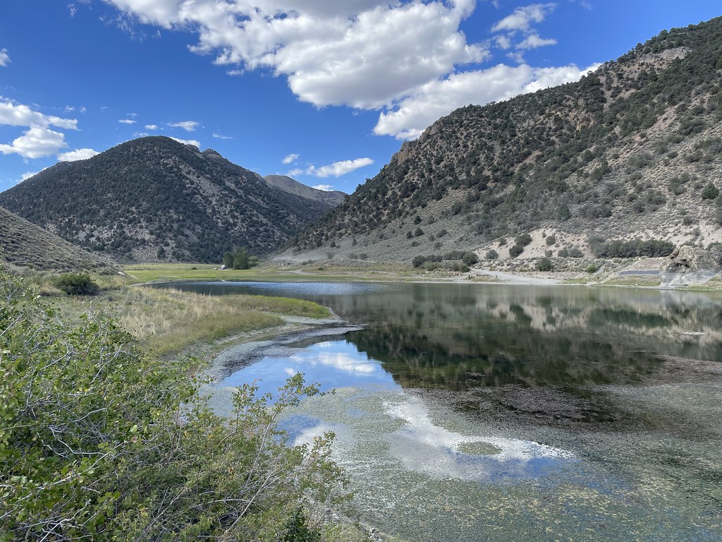 Photo: Seth Tisue, CC BY-SA 2.0 (via Flickr)
Camp Creek National Recreation - California
~30 min drive
222-mile point-to-point Nevada backcountry trek for experienced long-distance hikers.
HIKE
Bob Scott Slide Alternate
~7 min drive
2.80-mile out-and-back trail in Nevada with 7,316 ft elevation gain.
HIKE
TANK CANYON
~11 min drive
1.9-mile out-and-back trail in Nevada with 816 ft elevation gain and loss.
