Castle Loop
- 5.2 mi
- loop
- 613 ft
- climb
- 7,260 ft
- high point
- Loop
- route
- May–Jun, Aug–Oct
- best months
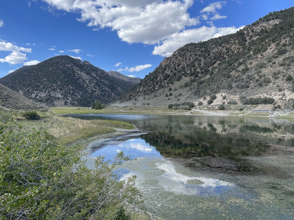
Castle Loop is a 5.2-mile loop hike on Forest Service land in Nevada, set about 0.3 miles from the town of Austin. It rises from 6,481 feet to 7,260 feet, a total gain of 613 feet, and is rated moderate. The trail is a natural-surface loop, and bikes are allowed. The weather station in Austin, at a similar elevation, sits about 480 feet lower than the loop's high point, so temperatures on the loop run a little cooler. Summer is the warmest stretch. Typical averages from the nearby Austin #2 weather station put July highs around 86°F and September highs near 75°F, with few wet days. Winter brings highs in the low 40s and snow on several days a month from December through February. The hike takes about two hours. Other trails start close by, including Cahill Canyon Run at 0.4 miles and Gold Venture Loop at 1 mile. Bob Scott Campground is about 4.2 miles away.
 Cahill Canyon RunHikingPhoto: Ken Lund, CC BY-SA 2.0 (via Flickr)0.4 mi
 Gold Venture LoopHikingPhoto: Seth Tisue, CC BY-SA 2.0 (via Flickr)1 mi
 Pony Canyon DownhillHikingPhoto: Ken Lund, CC BY-SA 2.0 (via Flickr)1.4 mi
 Pony Express LoopHikingPhoto: Matt Lavin, CC BY-SA 2.0 (via Flickr)1.7 mi
- Bob Scott SlideHiking3.3 mi
- Bob Scott Slide AlternateHiking4.1 mi
- Bob Scott CampgroundCamping4.2 mi
- TANK CANYONHiking6.1 mi
Source: Roamze catalog (indexable pages within 10 miles, PostGIS distance)
- Cahill Canyon RunHiking · Next doorPhoto: Ken Lund, CC BY-SA 2.0 (via Flickr)
- Pony Canyon DownhillHiking · ~2 min drivePhoto: Ken Lund, CC BY-SA 2.0 (via Flickr)
- Pony Express LoopHiking · ~3 min drivePhoto: Matt Lavin, CC BY-SA 2.0 (via Flickr)
- Gold Venture LoopHiking · ~2 min drivePhoto: Seth Tisue, CC BY-SA 2.0 (via Flickr)
- Bob Scott SlideHiking · ~6 min drive
 Toiyabe Crest TrailHiking · ~39 min drivePhoto: Seth Tisue, CC BY-SA 2.0 (via Flickr)
 Camp Creek National Recreation - CaliforniaHiking · ~30 min drivePhoto: Seth Tisue, CC BY-SA 2.0 (via Flickr)
- TANK CANYONHiking · ~10 min drive
- Box SpringsHiking · ~13 min drive
 Bob Scott SlideHiking · ~8 min drivePhoto: Ken Lund, CC BY-SA 2.0 (via Flickr)
Best time to visit Castle Loop
Best months: May–June and August–October. Best months have typical highs of 55–85 °F, lows of 30 °F or warmer (32 °F where the station doesn't record snow), at most one snowy day and no more than 12 wet days.
Jan
42° / 26°
6 wet · 5 snow
Feb
44° / 26°
5 wet · 4 snow
Mar
50° / 31°
6 wet · 4 snow
Apr
56° / 34°
6 wet · 3 snow
May
65° / 43°
6 wet · 1 snow
Jun
76° / 51°
3 wet
Jul
86° / 59°
2 wet
Aug
84° / 58°
2 wet
Sep
75° / 50°
2 wet
Oct
62° / 40°
2 wet · 1 snow
Nov
49° / 31°
4 wet · 3 snow
Dec
40° / 25°
5 wet · 5 snow
Typical high / low (°F) and days with rain or snow, 1991–2020. Measured at Austin #2, NV, 0.3 mi away at 6,780 ft. Source: NOAA NCEI U.S. Climate Normals 1991–2020.
