Box Springs
- 3.3 mi
- round trip
- 356 ft
- climb
- 7,213 ft
- high point
- Out and back
- route
- May–Jun, Aug–Oct
- best months
Is Box Springs open right now?
Closure in the area
There's a closure order in Humboldt-Toiyabe National Forest. It doesn't name Box Springs, so check the source for the area it covers.
Elephant Fire Closure
Agency closure covering Humboldt-Toiyabe National Forest · Order 04-17-26-01-04 · USFS · Humboldt-Toiyabe National Forest
Area, Road, and Trail Closures (Spring Mountains National Recreation Area)
Agency alert covering Humboldt-Toiyabe National Forest · Order 04-17-25-04 · USFS · Humboldt-Toiyabe National Forest
Year-Round Fire Restrictions (Spring Mountains National Recreation Area)
Agency alert covering Humboldt-Toiyabe National Forest · Order 04-17-24-01 · USFS · Humboldt-Toiyabe National Forest
Vehicle Snow Chain Requirements during Inclement Weather (Spring Mountains National Recreation Area)
Agency alert covering Humboldt-Toiyabe National Forest · Order 04-17-23-01 · USFS · Humboldt-Toiyabe National Forest
Rainbow Canyon Flood Diversion Structure Closure (Spring Mountains National Recreation Area)
Agency alert covering Humboldt-Toiyabe National Forest · Order 04-17-15-01 · USFS · Humboldt-Toiyabe National Forest
As of · Source: USFS · Humboldt-Toiyabe National Forest. Agencies don't list every closure — check before you go.
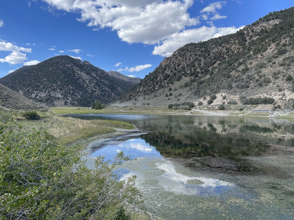
Box Springs is an easy out-and-back hike in the Austin-Tonopah Ranger District of Nevada's Humboldt-Toiyabe National Forest, about 3.3 miles long with a total elevation gain of 356 feet. The trail runs from a low point of about 6,841 feet to a high of about 7,213 feet, and it is open year-round. The route is on natural surface, and the Forest Service allows both horses and bikes. That makes it a flexible option for riders and pack animals as well as hikers. For comfortable weather, late spring and early fall are the sweet spots. Typical averages from the nearby Austin #2 weather station show May highs around 65°F and September highs around 75°F, with July the warmest month at about 86°F. Winter brings highs in the low 40s and regular snow days from December through February. Bob Scott Campground sits about 6.3 miles away, and Bob Scott Slide and the Pony Express Loop are both within about 6 miles. Cahill Canyon Run is roughly 7.2 miles off.
 Bob Scott SlideHikingPhoto: Ken Lund, CC BY-SA 2.0 (via Flickr)6 mi
 Pony Express LoopHikingPhoto: Matt Lavin, CC BY-SA 2.0 (via Flickr)6.2 mi
- Bob Scott CampgroundCamping6.3 mi
 Cahill Canyon RunHikingPhoto: Ken Lund, CC BY-SA 2.0 (via Flickr)7.2 mi
 Pony Canyon DownhillHikingPhoto: Ken Lund, CC BY-SA 2.0 (via Flickr)7.3 mi
- Bob Scott Slide AlternateHiking7.4 mi
- Castle LoopHiking7.5 mi
 Gold Venture LoopHikingPhoto: Seth Tisue, CC BY-SA 2.0 (via Flickr)8.5 mi
Source: Roamze catalog (indexable pages within 10 miles, PostGIS distance)
- Pony Express LoopHiking · ~11 min drivePhoto: Matt Lavin, CC BY-SA 2.0 (via Flickr)
- Cahill Canyon RunHiking · ~12 min drivePhoto: Ken Lund, CC BY-SA 2.0 (via Flickr)
- Pony Canyon DownhillHiking · ~12 min drivePhoto: Ken Lund, CC BY-SA 2.0 (via Flickr)
 Toiyabe Crest TrailHiking · ~48 min drivePhoto: Seth Tisue, CC BY-SA 2.0 (via Flickr)
- Gold Venture LoopHiking · ~15 min drivePhoto: Seth Tisue, CC BY-SA 2.0 (via Flickr)
- Castle LoopHiking · ~13 min drive
- Kingston CreekHiking · ~34 min drive
 Camp Creek National Recreation - CaliforniaHiking · ~39 min drivePhoto: Seth Tisue, CC BY-SA 2.0 (via Flickr)
- Bob Scott SlideHiking · ~15 min drive
- Toquima Cave TrailHiking · ~43 min drive
Best time to visit Box Springs
Best months: May–June and August–October. Best months have typical highs of 55–85 °F, lows of 30 °F or warmer (32 °F where the station doesn't record snow), at most one snowy day and no more than 12 wet days.
Jan
42° / 26°
6 wet · 5 snow
Feb
44° / 26°
5 wet · 4 snow
Mar
50° / 31°
6 wet · 4 snow
Apr
56° / 34°
6 wet · 3 snow
May
65° / 43°
6 wet · 1 snow
Jun
76° / 51°
3 wet
Jul
86° / 59°
2 wet
Aug
84° / 58°
2 wet
Sep
75° / 50°
2 wet
Oct
62° / 40°
2 wet · 1 snow
Nov
49° / 31°
4 wet · 3 snow
Dec
40° / 25°
5 wet · 5 snow
Typical high / low (°F) and days with rain or snow, 1991–2020. Measured at Austin #2, NV, 7.5 mi away at 6,780 ft. Source: NOAA NCEI U.S. Climate Normals 1991–2020.
