Red Rock Canyon Campground
Campground
Sites open the weekend of Dec 4 on Recreation.gov
 Photo: iPhone Photography, CC BY 3.0 (via Wikimedia Commons)
Cowboy Cave Trail is a short, easy out-and-back hike on Bureau of Land Management land within the Red Rock/Sloan Field Office of Nevada. It covers about 0.9 miles round trip and gains about 420 feet in elevation, with the high point at 4,118 feet. The trail starts at 3,739 feet, and the steepest section comes at about 0.33 miles in, where the grade reaches about 27 percent. The most comfortable months for a visit are spring and fall. Typical averages from a nearby weather station run to highs around 70°F in April and 75°F in October, while July and August average about 94 to 95°F. The hike makes an easy pairing with other outings in the area. Brokeback Mountain is about 0.3 miles away, and the Red Rock Legacy Trail is about 0.9 miles off. For climbers, the Lower Tier and Upper Tier areas sit about 1.7 miles away, and Red Rock Canyon Campground is about 2.7 miles away for an overnight stay.
Red Rock Canyon Campground
Campground
Places © OpenStreetMap contributors
More in Sandy Valley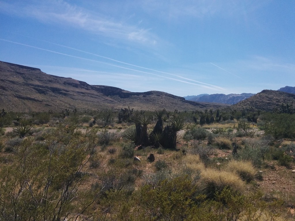 Brokeback MountainHikingPhoto: Lukáš Lalinský, CC BY-SA 2.0 (via Flickr)0.3 mi
 Bob GnarlyMountain bikingPhoto: Lauren Kay lakael, CC0 (via Wikimedia Commons)0.7 miRed Rock Legacy TrailHikingPhoto: iPhone Photography, CC BY 3.0 (via Wikimedia Commons)0.9 mi
 Lower TierRock climbingPhoto: Hermann Luyken, CC0 (via Wikimedia Commons)1.7 mi
 Upper TierRock climbingPhoto: lgoub, CC BY 2.0 (via Flickr)1.7 mi
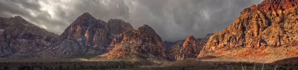 Red Rock Canyon CampgroundCampingPhoto: Recreation.gov (RIDB) / public domain2.7 mi
Source: Roamze catalog (indexable pages within 10 miles, PostGIS distance)
Brokeback MountainHiking · Next doorPhoto: Lukáš Lalinský, CC BY-SA 2.0 (via Flickr)Red Rock Legacy TrailHiking · ~2 min drivePhoto: iPhone Photography, CC BY 3.0 (via Wikimedia Commons) Moenkopi LoopHiking · ~2 min drivePhoto: joannapoe, CC BY-SA 2.0 (via Flickr)
 Calico I TrailHiking · ~2 min drivePhoto: Jon Gudorf Photography, CC BY-SA 2.0 (via Flickr)
 Calico Ii TrailHiking · ~2 min drivePhoto: Hermann Luyken, CC0 (via Wikimedia Commons)
 Moenkopi Loop - Grand Circle TrailHiking · ~2 min drivePhoto: joannapoe, CC BY-SA 2.0 (via Flickr)
 S Oak Creek CanyonHiking · ~4 min drivePhoto: Ken Lund, CC BY-SA 2.0 (via Flickr)ValleyHiking · ~2 min drivePhoto: iPhone Photography, CC BY 3.0 (via Wikimedia Commons)
 Unnamed BLM TrailHiking · ~4 min drivePhoto: joannapoe, CC BY-SA 2.0 (via Flickr)Santeria D.H.Hiking · ~3 min drivePhoto: Hermann Luyken, CC0 (via Wikimedia Commons)
Best months: February–May and October–November. Best months have typical highs of 55–85 °F, lows of 30 °F or warmer (32 °F where the station doesn't record snow), at most one snowy day and no more than 12 wet days.
Jan
53° / 32°
4 wet
Feb
56° / 35°
5 wet
Mar
64° / 41°
4 wet
Apr
70° / 47°
2 wet
May
80° / 56°
1 wet
Jun
90° / 66°
1 wet
Jul
95° / 73°
2 wet
Aug
94° / 72°
2 wet
Sep
87° / 62°
2 wet
Oct
75° / 50°
2 wet
Nov
62° / 38°
2 wet
Dec
52° / 31°
3 wet
Typical high / low (°F) and days with rain or snow, 1991–2020. Measured at Red Rock Canyon - Spg Mt Rch S, NV, 3.8 mi away at 3,780 ft. This station doesn't record snowfall. Source: NOAA NCEI U.S. Climate Normals 1991–2020.
Map and trail data © OpenStreetMap contributors
