Red Rock Canyon Campground
Campground
Sites open the weekend of Dec 4 on Recreation.gov
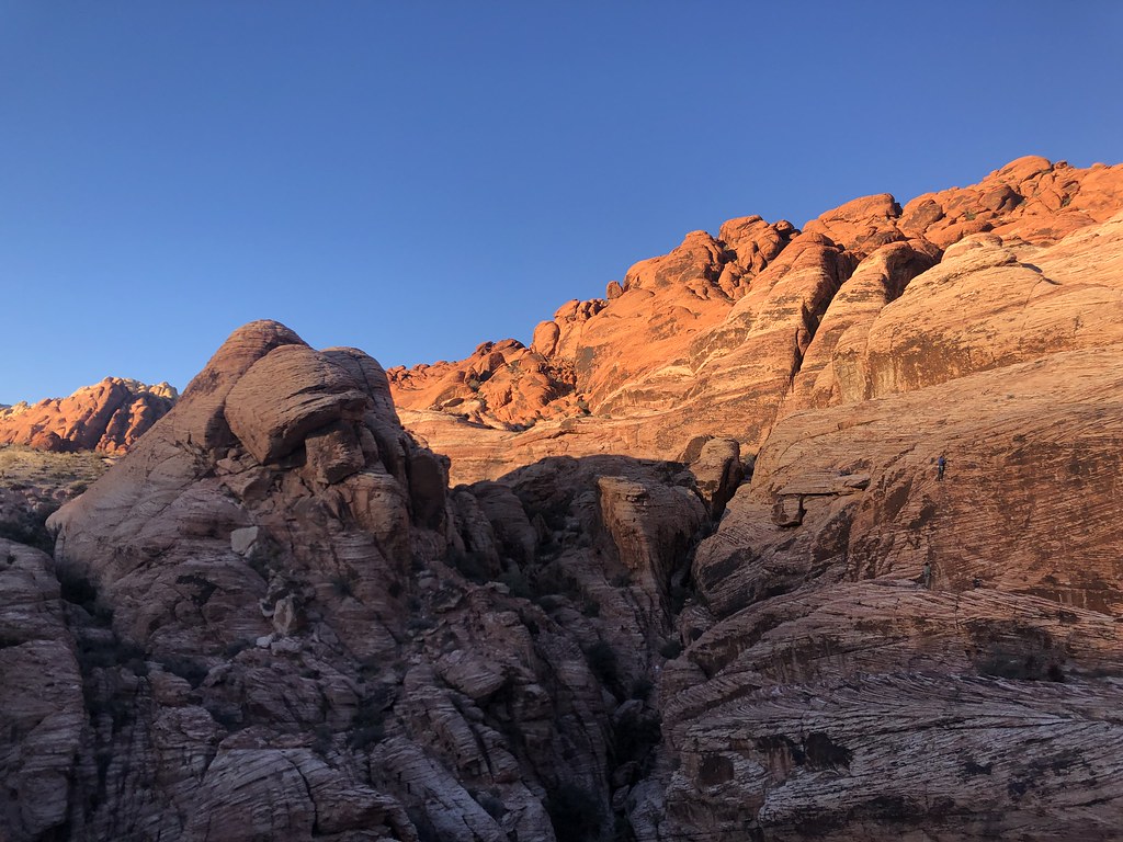 Photo: Tom Hilton, CC BY 2.0 (via Flickr)
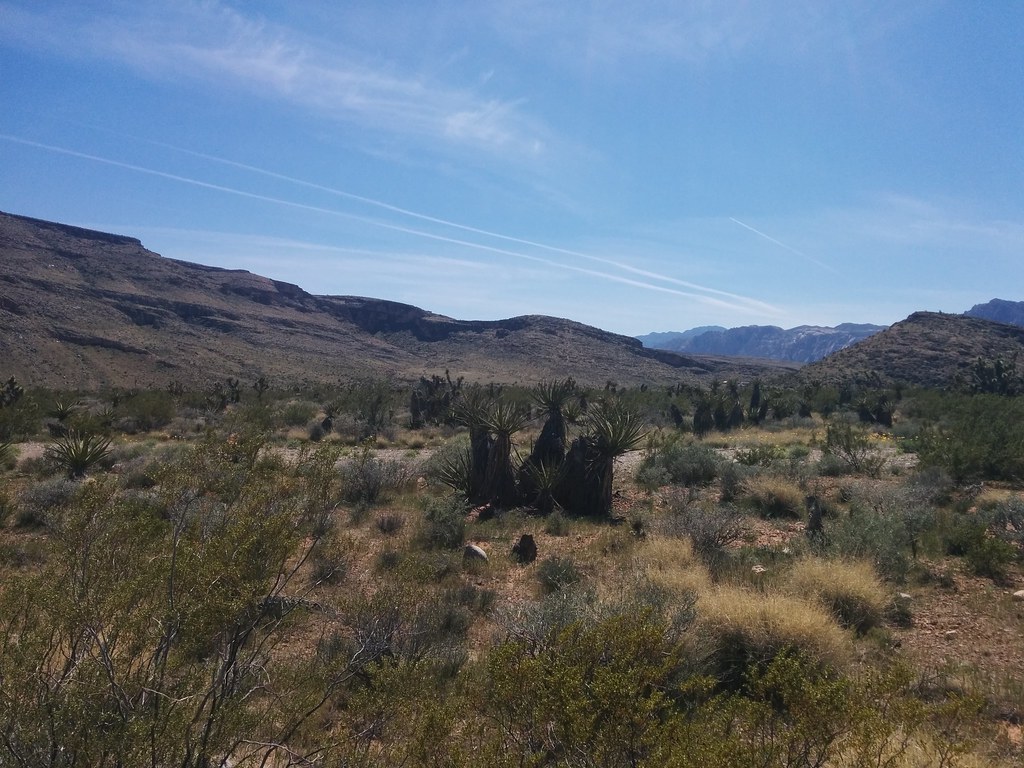
Calico Overlook Trail is an easy hike on Bureau of Land Management land in Nevada, within the Red Rock/Sloan Field Office. The route runs about 2.2 miles as an out-and-back, so you return the way you came. The climbing is modest. The trail gains about 130 feet one way, moving between a low point near 3,600 feet and a high point around 3,745 feet. That small amount of elevation change suits a short outing, and it works for hikers who want an easy walk rather than a sustained ascent. Spring and fall are the most comfortable times to go. Typical averages from a nearby weather station show April highs around 70°F with lows near 47°F, and October highs around 75°F with lows near 50°F. Several other destinations sit close to the trailhead. Beating Heart Boulders is just 0.1 mile away, and the climbing at Red Springs Rock is about 0.2 mile off. Girl Scout Trail, about 0.6 mile away, offers another hike, and Red Rock Canyon Campground, roughly 2.2 miles away, is the nearest place to camp.
Red Rock Canyon Campground
Campground
Places © Overture Maps Foundation
More in Sandy Valley Red Springs Rock Lower Tier (aka Jabba the Hutt Rock)Rock climbingPhoto: lgoub, CC BY 2.0 (via Flickr)0.2 miRed Spring BouldersRock climbingPhoto: lgoub, CC BY 2.0 (via Flickr)0.2 mi
 Calico CausewayMountain bikingPhoto: Hermann Luyken, CC0 (via Wikimedia Commons)0.4 mi
 Santeria D.H.HikingPhoto: Hermann Luyken, CC0 (via Wikimedia Commons)0.4 mi
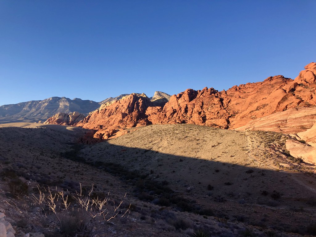 Girl Scout TrailHikingPhoto: Tom Hilton, CC BY 2.0 (via Flickr)0.6 mi
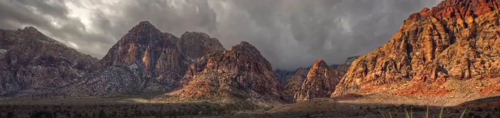 Red Rock Canyon CampgroundCampingPhoto: Recreation.gov (RIDB) / public domain2.2 mi
Source: Roamze catalog (indexable pages within 10 miles, PostGIS distance)
Santeria D.H.Hiking · Next doorPhoto: Hermann Luyken, CC0 (via Wikimedia Commons)Calico Ii TrailHiking · ~1 min drivePhoto: Hermann Luyken, CC0 (via Wikimedia Commons) Grand Circle TrailHiking · ~7 min drivePhoto: joannapoe, CC BY-SA 2.0 (via Flickr)Girl Scout TrailHiking · Next doorPhoto: Tom Hilton, CC BY 2.0 (via Flickr)
 Moenkopi LoopHiking · ~2 min drivePhoto: joannapoe, CC BY-SA 2.0 (via Flickr)Guardian AngelHiking · ~1 min drivePhoto: Tom Hilton, CC BY 2.0 (via Flickr)
 Calico Hills TrailHiking · ~2 min drivePhoto: joannapoe, CC BY-SA 2.0 (via Flickr)
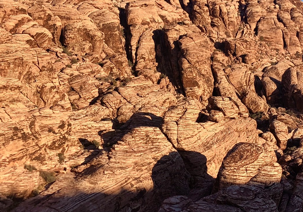 Calico Basin TrailHiking · ~1 min drivePhoto: Tom Hilton, CC BY 2.0 (via Flickr)
 Brokeback MountainHiking · ~3 min drivePhoto: Lukáš Lalinský, CC BY-SA 2.0 (via Flickr)Calico LoopHiking · ~1 min drivePhoto: Tom Hilton, CC BY 2.0 (via Flickr)
Best months: February–May and October–November. Best months have typical highs of 55–85 °F, lows of 30 °F or warmer (32 °F where the station doesn't record snow), at most one snowy day and no more than 12 wet days.
Jan
53° / 32°
4 wet
Feb
56° / 35°
5 wet
Mar
64° / 41°
4 wet
Apr
70° / 47°
2 wet
May
80° / 56°
1 wet
Jun
90° / 66°
1 wet
Jul
95° / 73°
2 wet
Aug
94° / 72°
2 wet
Sep
87° / 62°
2 wet
Oct
75° / 50°
2 wet
Nov
62° / 38°
2 wet
Dec
52° / 31°
3 wet
Typical high / low (°F) and days with rain or snow, 1991–2020. Measured at Red Rock Canyon - Spg Mt Rch S, NV, 5.8 mi away at 3,780 ft. This station doesn't record snowfall. Source: NOAA NCEI U.S. Climate Normals 1991–2020.
Map and trail data © OpenStreetMap contributors
