Red Rock Canyon Campground
Campground
Sites open the weekend of Dec 4 on Recreation.gov
Brohemian Rhapsody Loop is a 3.2-mile loop on Bureau of Land Management land in Nevada, within the Red Rock/Sloan Field Office. It starts and ends at roughly 3,570 feet and climbs to about 3,950 feet, with a total gain of 1,079 feet. The route is a steady, moderate climb that makes a full loop, and it passes a high point of 3,947 feet. The steepest section comes at about 2.4 miles in, with a grade of 17 percent. Spring and fall are the most comfortable times to go. Typical averages from a nearby weather station show October highs around 75°F with lows near 50°F, and April highs around 70°F, while July and August average highs near 95°F. The hike takes about 1.5 hours. Several other routes sit close by, including the Bomb Voyage (Extreme) mountain bike trail and the Ridge (Difficult) hike, both within a mile. Red Rock Canyon Campground is about 1.6 miles away.
Red Rock Canyon Campground
Campground
Places © Overture Maps Foundation
More in Sandy Valley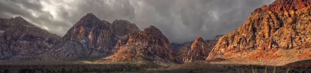 Red Rock Canyon CampgroundCampingPhoto: Recreation.gov (RIDB) / public domain1.6 mi
 Lower TierRock climbingPhoto: Hermann Luyken, CC0 (via Wikimedia Commons)3.2 mi
 Upper TierRock climbingPhoto: lgoub, CC BY 2.0 (via Flickr)3.2 mi
Source: Roamze catalog (indexable pages within 10 miles, PostGIS distance)
 David FlowieHiking · ~3 min drivePhoto: Hermann Luyken, CC0 (via Wikimedia Commons)
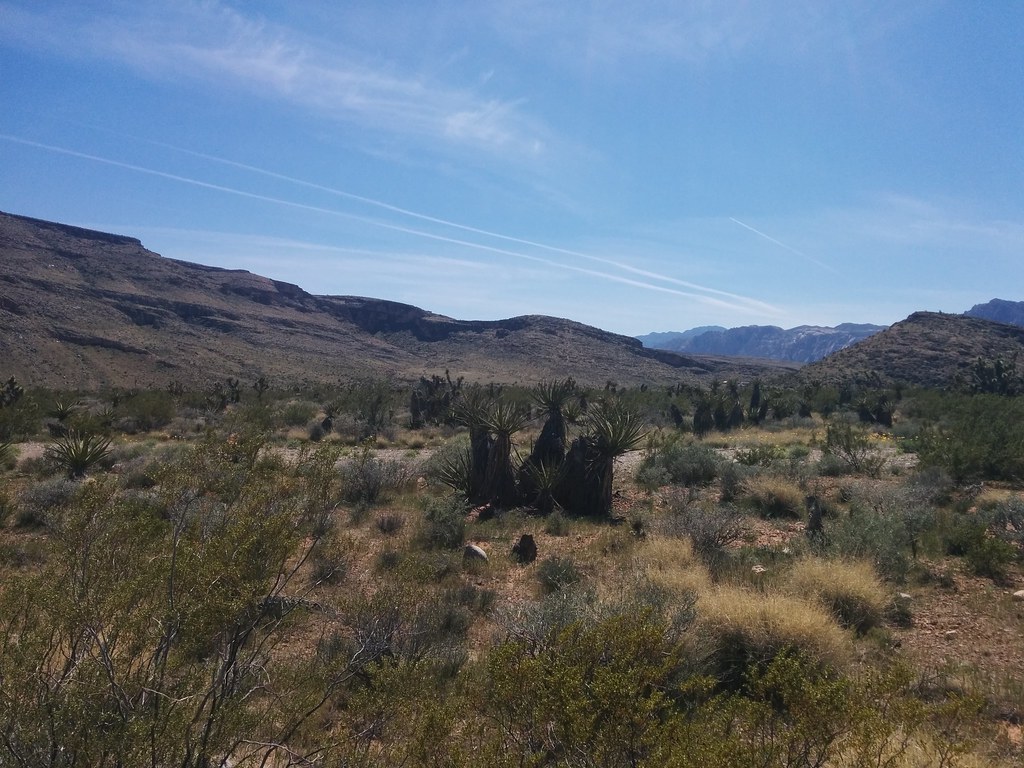 Brokeback MountainHiking · ~4 min drivePhoto: Lukáš Lalinský, CC BY-SA 2.0 (via Flickr)
 Cowboy Cave TrailHiking · ~5 min drivePhoto: iPhone Photography, CC BY 3.0 (via Wikimedia Commons)
 Calico Ii TrailHiking · ~6 min drivePhoto: Hermann Luyken, CC0 (via Wikimedia Commons)
 Calico I TrailHiking · ~5 min drivePhoto: Jon Gudorf Photography, CC BY-SA 2.0 (via Flickr)
 Moenkopi LoopHiking · ~6 min drivePhoto: joannapoe, CC BY-SA 2.0 (via Flickr)Santeria D.H.Hiking · ~5 min drivePhoto: Hermann Luyken, CC0 (via Wikimedia Commons)
 S Oak Creek CanyonHiking · ~7 min drivePhoto: Ken Lund, CC BY-SA 2.0 (via Flickr)
 Moenkopi Loop - Grand Circle TrailHiking · ~5 min drivePhoto: joannapoe, CC BY-SA 2.0 (via Flickr)
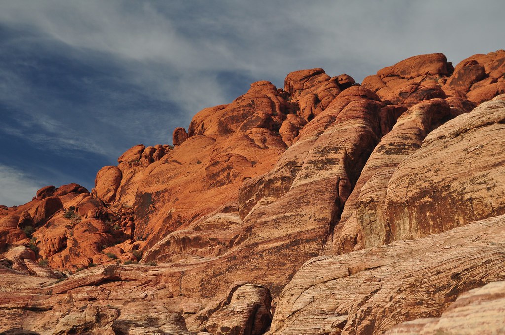 First Creek CanyonHiking · ~7 min drivePhoto: lsiegert, CC BY 2.0 (via Flickr)
Best months: February–May and October–November. Best months have typical highs of 55–85 °F, lows of 30 °F or warmer (32 °F where the station doesn't record snow), at most one snowy day and no more than 12 wet days.
Jan
53° / 32°
4 wet
Feb
56° / 35°
5 wet
Mar
64° / 41°
4 wet
Apr
70° / 47°
2 wet
May
80° / 56°
1 wet
Jun
90° / 66°
1 wet
Jul
95° / 73°
2 wet
Aug
94° / 72°
2 wet
Sep
87° / 62°
2 wet
Oct
75° / 50°
2 wet
Nov
62° / 38°
2 wet
Dec
52° / 31°
3 wet
Typical high / low (°F) and days with rain or snow, 1991–2020. Measured at Red Rock Canyon - Spg Mt Rch S, NV, 5.1 mi away at 3,780 ft. This station doesn't record snowfall. Source: NOAA NCEI U.S. Climate Normals 1991–2020.
Map and trail data © OpenStreetMap contributors

