Bonanza
- 2.1 mi
- round trip
- 1,091 ft
- climb
- 9,941 ft
- high point
- Out and back
- route
Is Bonanza open right now?
Closure in the area
There's a closure order in Humboldt-Toiyabe National Forest. It doesn't name Bonanza, so check the source for the area it covers.
Elephant Fire Closure
Agency closure covering Humboldt-Toiyabe National Forest · Order 04-17-26-01-04 · USFS · Humboldt-Toiyabe National Forest
Stage 1 Fire Restrictions, Spring Mountains National Recreation Area
Agency alert covering Spring Mountains National Recreation Area · Order 04-17-05-26-02 · USFS · Spring Mountains National Recreation Area
Area, Road, and Trail Closures (Spring Mountains National Recreation Area)
Agency alert covering Humboldt-Toiyabe National Forest · Order 04-17-25-04 · USFS · Humboldt-Toiyabe National Forest
Year-Round Fire Restrictions (Spring Mountains National Recreation Area)
Agency alert covering Humboldt-Toiyabe National Forest · Order 04-17-24-01 · USFS · Humboldt-Toiyabe National Forest
Vehicle Snow Chain Requirements during Inclement Weather (Spring Mountains National Recreation Area)
Agency alert covering Humboldt-Toiyabe National Forest · Order 04-17-23-01 · USFS · Humboldt-Toiyabe National Forest
As of · Source: USFS · Humboldt-Toiyabe National Forest. Agencies don't list every closure — check before you go.
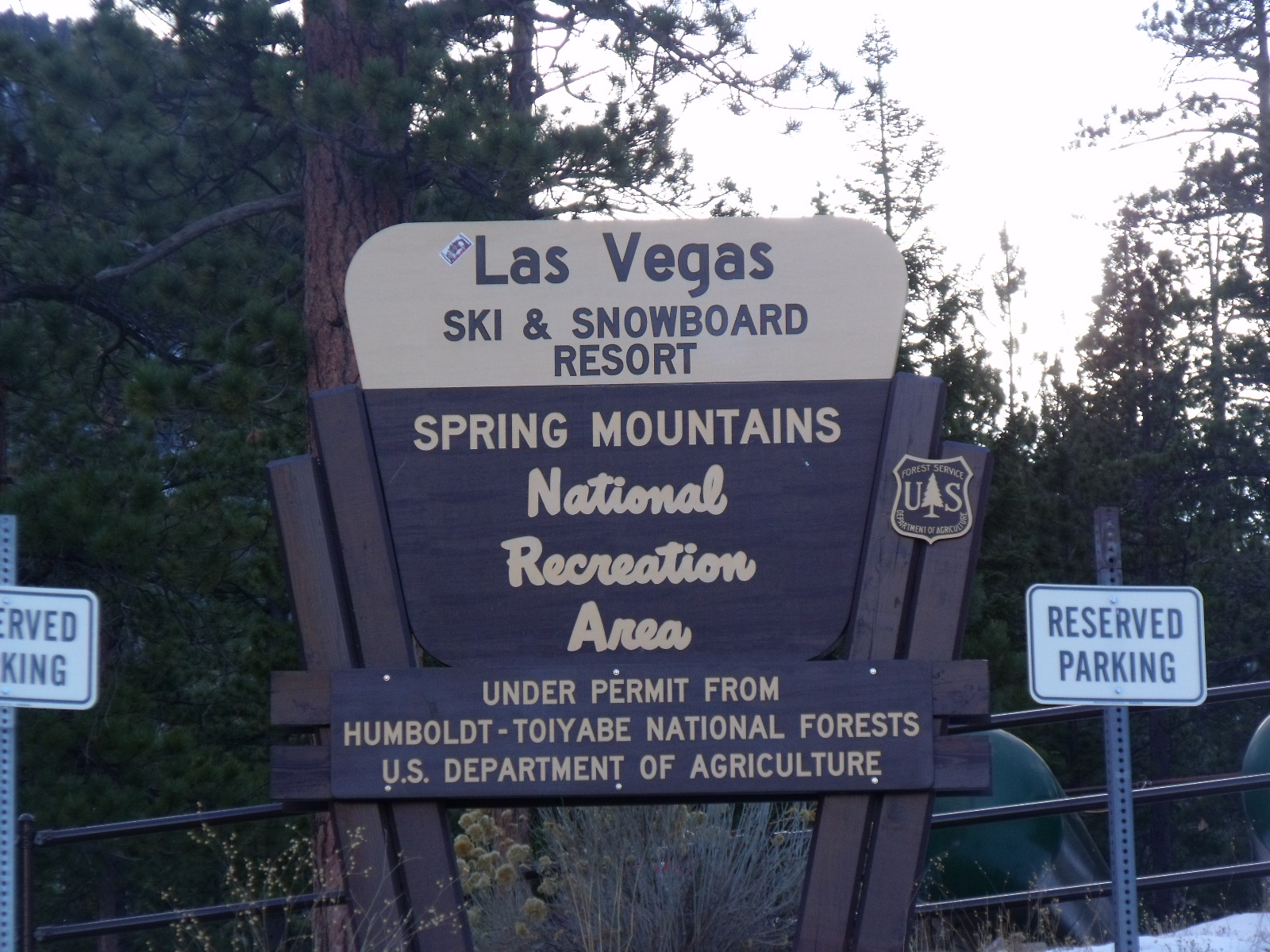
Bonanza is an easy out-and-back hike in Nevada's Mt. Charleston Wilderness, within the Spring Mountains National Recreation Area ranger district of the Humboldt-Toiyabe National Forest. The Forest Service manages the land, and the trail lies about 2 miles from the McWilliams campground. The hike gains about 325 feet in elevation over roughly 2 miles, from a start near 9,870 feet to a high point of about 9,940 feet. The steepest part comes right at the beginning, with a grade of about 21%, and the route stays within a narrow range of elevation for most of its length. The most comfortable season to go is late spring or early fall, when typical averages from a nearby weather station run in the mid-20s °F. Summer is hot, with July highs around 95°F, while winter brings frequent snow. McWilliams campground is about 1.5 miles away, and the Bristlecone and Green Trail hikes are each within about 2 miles. The Charleston Peak Trail South Loop lies about 3.4 miles off.
Keep exploring — more trails worth the drive
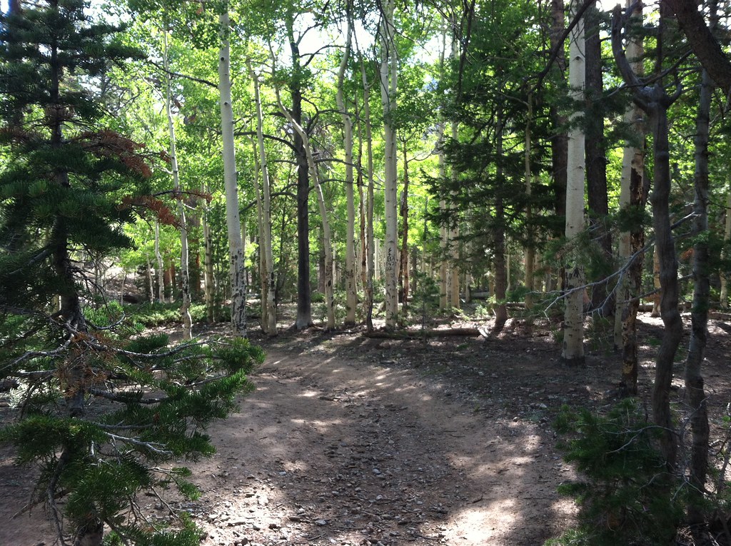 Photo: BLM Nevada, CC BY 2.0 (via Flickr)
Bonanza
~1 min drive
A 1.28-mile out-and-back trail in Nevada's Mt. Charleston Wilderness.
 Photo: Ken Lund, CC BY-SA 2.0 (via Flickr)
Bristlecone
~3 min drive
10.20-mile out-and-back trail in Nevada with 590 ft elevation gain.
Photo: Ken Lund, CC BY-SA 2.0 (via Flickr)Green Trail
~3 min drive
4.32-mile out-and-back hike in Nevada with 1,809 ft elevation gain and loss.
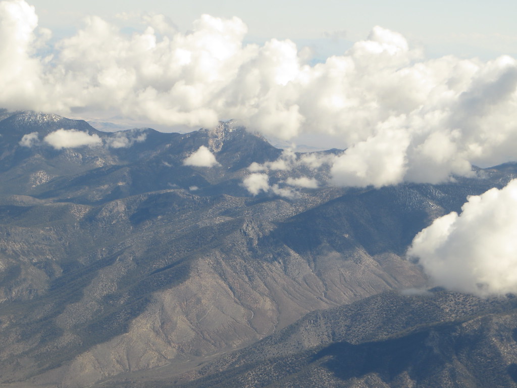 Photo: Ken Lund, CC BY-SA 2.0 (via Flickr)
Charleston Peak Trail South Loop
~6 min drive
8.40-mile out-and-back trail in Nevada with 949 ft elevation gain and 5,115 ft loss.
 Photo: redlicks, CC BY 3.0 (via Wikimedia Commons)
Wildhorse Ridge
~8 min drive
1.52-mile out-and-back trail in Nevada with 659 ft elevation gain/loss
 Photo: Ken Lund, CC BY-SA 2.0 (via Flickr)
Trail Canyon
~8 min drive
3.91-mile out-and-back trail in Nevada with 1,527 ft elevation gain.
Photo: Ken Lund, CC BY-SA 2.0 (via Flickr)Mary Jane Falls
~7 min drive
3-mile out-and-back trail to Mary Jane Falls in Nevada with 1,301 ft gain.
 Photo: bahniuk, CC BY 3.0 (via Wikimedia Commons)
Robber's Roost Trail
~9 min drive
0.6-mile out-and-back hike in Nevada with 506 ft gain and 8,234 ft max elevation.
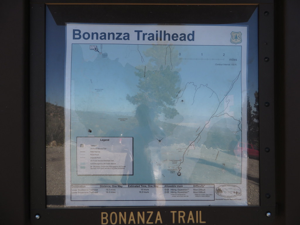 Photo: Ken Lund — CC BY-SA 2.0 (via Flickr)
Bonanza Trail
~8 min drive
25.75-mile out-and-back trail in Nevada with 3,153 ft elevation gain.
Photo: redlicks, CC BY 3.0 (via Wikimedia Commons)Wildhorse Canyon
~8 min drive
2.42-mile out-and-back trail in Nevada with 1,215 ft gain/loss