Green Trail
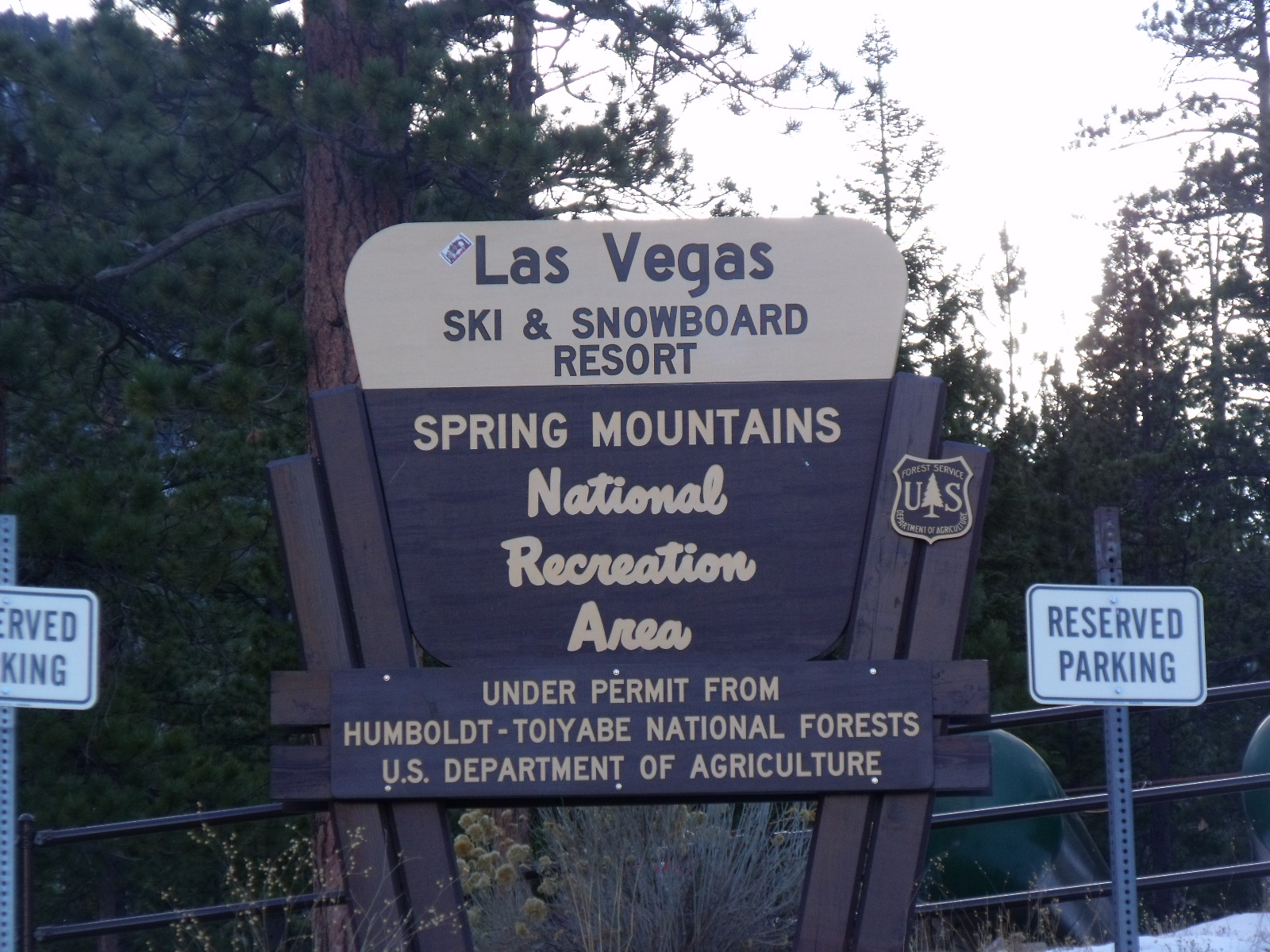
 Photo: Ken Lund, CC BY-SA 2.0 (via Flickr)
- 2.2 mi
- round trip
- 1,809 ft
- climb
- 9,423 ft
- high point
- Out and back
- route
Is Green Trail open right now?
Closure in the area
There's a closure order in Humboldt-Toiyabe National Forest. It doesn't name Green Trail, so check the source for the area it covers.
Elephant Fire Closure
Agency closure covering Humboldt-Toiyabe National Forest · Order 04-17-26-01-04 · USFS · Humboldt-Toiyabe National Forest
Area, Road, and Trail Closures (Spring Mountains National Recreation Area)
Agency alert covering Humboldt-Toiyabe National Forest · Order 04-17-25-04 · USFS · Humboldt-Toiyabe National Forest
Year-Round Fire Restrictions (Spring Mountains National Recreation Area)
Agency alert covering Humboldt-Toiyabe National Forest · Order 04-17-24-01 · USFS · Humboldt-Toiyabe National Forest
Vehicle Snow Chain Requirements during Inclement Weather (Spring Mountains National Recreation Area)
Agency alert covering Humboldt-Toiyabe National Forest · Order 04-17-23-01 · USFS · Humboldt-Toiyabe National Forest
Rainbow Canyon Flood Diversion Structure Closure (Spring Mountains National Recreation Area)
Agency alert covering Humboldt-Toiyabe National Forest · Order 04-17-15-01 · USFS · Humboldt-Toiyabe National Forest
As of · Source: USFS · Humboldt-Toiyabe National Forest. Agencies don't list every closure — check before you go.
Green Trail is a moderate hike in Nevada's Spring Mountains National Recreation Area, part of the Humboldt-Toiyabe National Forest managed by the Forest Service. The trail is an out-and-back route of about 4.3 miles, with a one-way climb of roughly 1,245 feet from the starting point at about 8,662 feet to the high point at about 9,423 feet. The steepest stretch comes around the 1.5-mile mark, where the grade reaches about 18%. The trail sits within the recreation area's ranger district, and the surrounding area offers several other options. Bristlecone is a hike just 0.2 miles away, and McWilliams campground is about 0.4 miles off. Foxtail Grp Picnic Area is about 0.7 miles away, and the Bonanza hike is about 1.3 miles away.
- BristleconeHikingPhoto: Ken Lund, CC BY-SA 2.0 (via Flickr)0.2 mi
- McWilliamsCamping0.4 mi
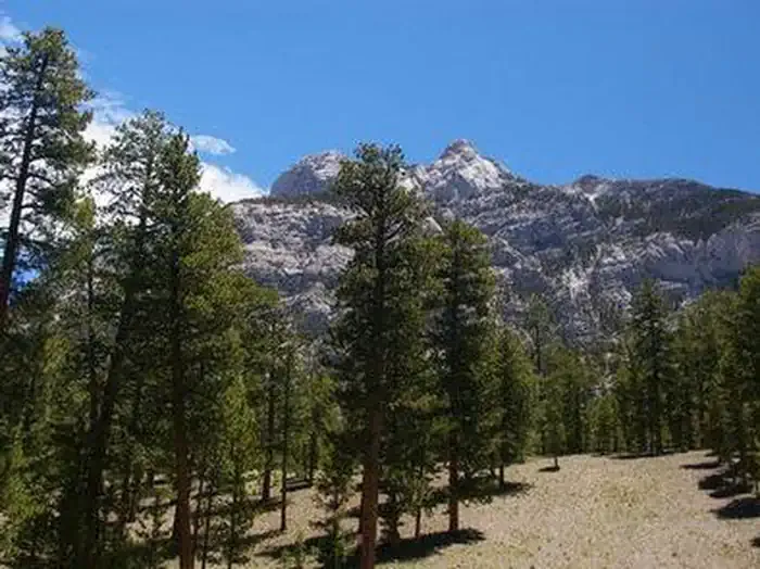 Foxtail Grp Picnic AreaCampingPhoto: Recreation.gov (RIDB) / public domain0.7 mi
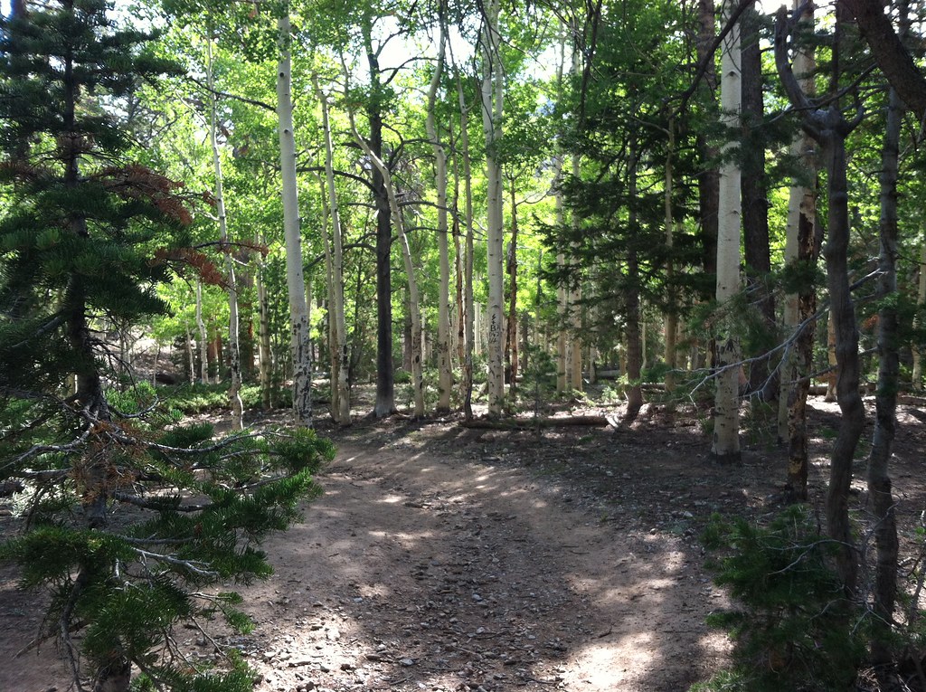 BonanzaHikingPhoto: BLM Nevada, CC BY 2.0 (via Flickr)1.3 mi
 Mary Jane FallsMountain bikingPhoto: Famartin, CC BY-SA 4.0 (via Wikimedia Commons)2 mi
- Nueva EsperanzaRock climbing2 mi
- Walla Walla WashRock climbing2.1 mi
- The IcehouseRock climbing2.1 mi
Source: Roamze catalog (indexable pages within 10 miles, PostGIS distance)
- BristleconeHiking · Next doorPhoto: Ken Lund, CC BY-SA 2.0 (via Flickr)
- BonanzaHiking · ~2 min drivePhoto: BLM Nevada, CC BY 2.0 (via Flickr)
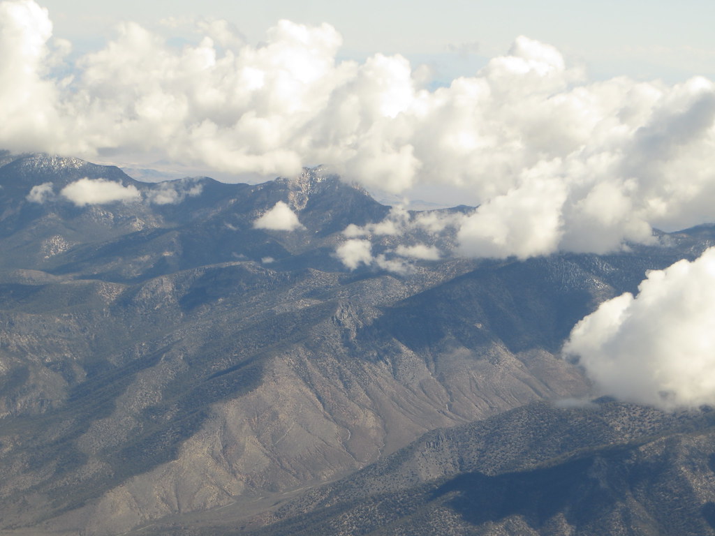 Charleston Peak Trail South LoopHiking · ~4 min drivePhoto: Ken Lund, CC BY-SA 2.0 (via Flickr)
 Mary Jane FallsHiking · ~4 min drivePhoto: Ken Lund, CC BY-SA 2.0 (via Flickr)
 North LoopHiking · ~6 min drivePhoto: bahniuk, CC BY 3.0 (via Wikimedia Commons)
 Wildhorse RidgeHiking · ~5 min drivePhoto: redlicks, CC BY 3.0 (via Wikimedia Commons)
- Wildhorse CanyonHiking · ~5 min drivePhoto: redlicks, CC BY 3.0 (via Wikimedia Commons)
- Trail CanyonHiking · ~5 min drivePhoto: Ken Lund, CC BY-SA 2.0 (via Flickr)
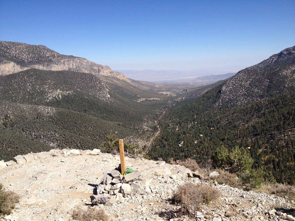 Cathedral RockHiking · ~6 min drivePhoto: christie_verbose, CC BY 2.0 (via Flickr)
 North Camp LoopHiking · ~5 min drivePhoto: bahniuk, CC BY 3.0 (via Wikimedia Commons)
Map and trail data © OpenStreetMap contributors
