Bonanza
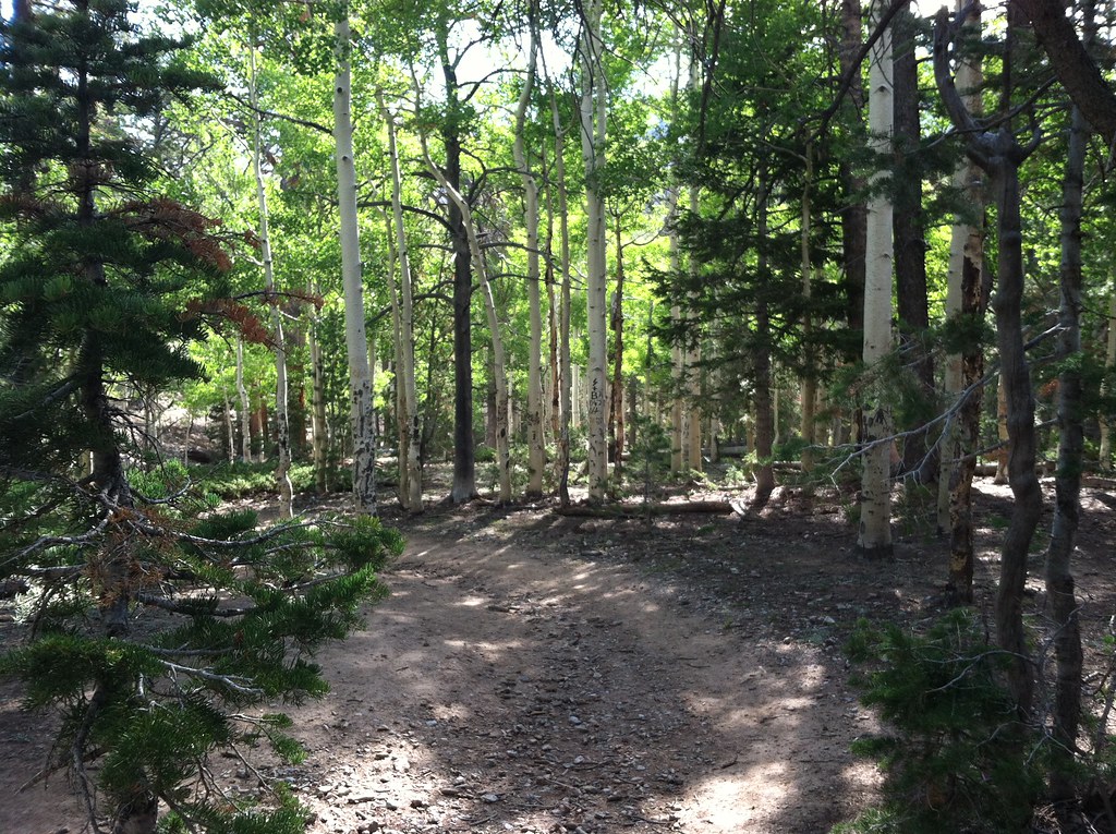 Photo: BLM Nevada, CC BY 2.0 (via Flickr)
- 1.3 mi
- round trip
- 403 ft
- climb
- 9,682 ft
- high point
- Out and back
- route
Is Bonanza open right now?
Closure in the area
There's a closure order in Humboldt-Toiyabe National Forest. It doesn't name Bonanza, so check the source for the area it covers.
Elephant Fire Closure
Agency closure covering Humboldt-Toiyabe National Forest · Order 04-17-26-01-04 · USFS · Humboldt-Toiyabe National Forest
Area, Road, and Trail Closures (Spring Mountains National Recreation Area)
Agency alert covering Humboldt-Toiyabe National Forest · Order 04-17-25-04 · USFS · Humboldt-Toiyabe National Forest
Year-Round Fire Restrictions (Spring Mountains National Recreation Area)
Agency alert covering Humboldt-Toiyabe National Forest · Order 04-17-24-01 · USFS · Humboldt-Toiyabe National Forest
Vehicle Snow Chain Requirements during Inclement Weather (Spring Mountains National Recreation Area)
Agency alert covering Humboldt-Toiyabe National Forest · Order 04-17-23-01 · USFS · Humboldt-Toiyabe National Forest
Rainbow Canyon Flood Diversion Structure Closure (Spring Mountains National Recreation Area)
Agency alert covering Humboldt-Toiyabe National Forest · Order 04-17-15-01 · USFS · Humboldt-Toiyabe National Forest
As of · Source: USFS · Humboldt-Toiyabe National Forest. Agencies don't list every closure — check before you go.
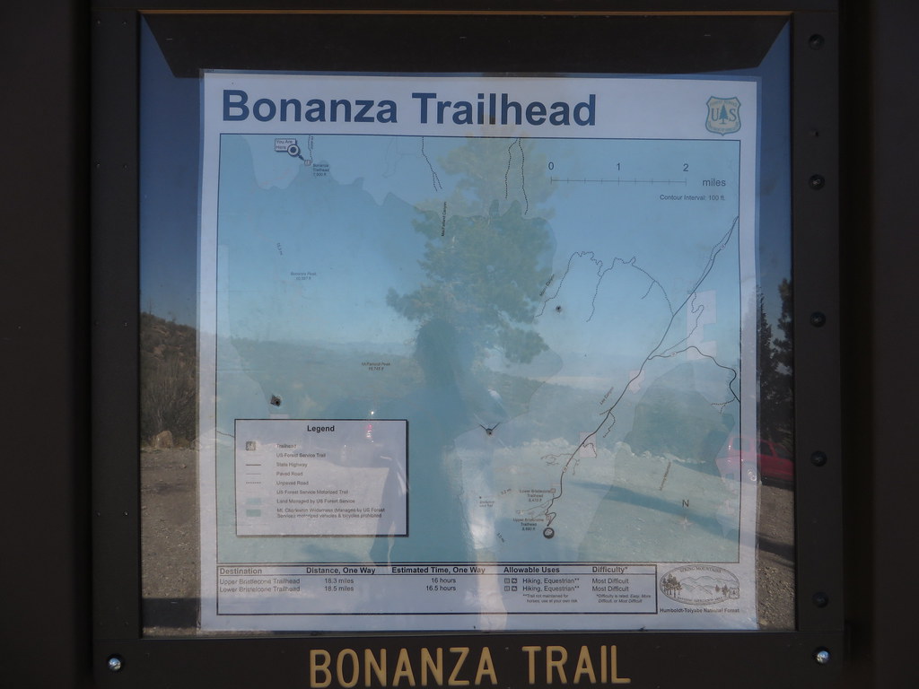
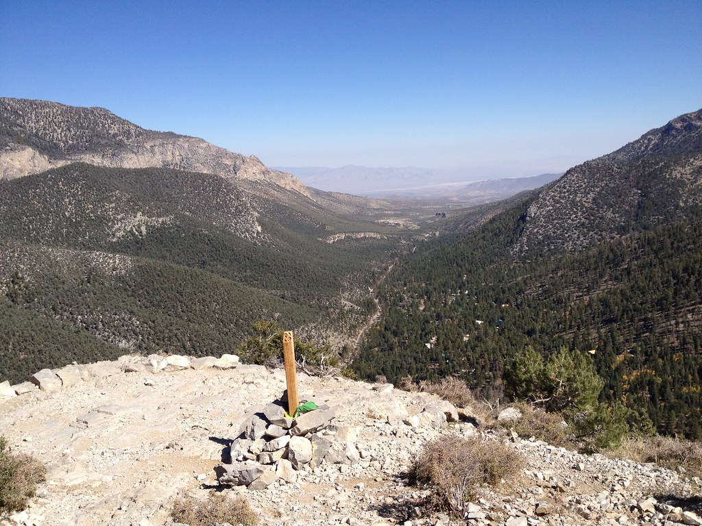
The Bonanza trail is a short, easy out-and-back hike of about 1.3 miles in Nevada's Mt. Charleston Wilderness, within the Spring Mountains National Recreation Area of the Humboldt-Toiyabe National Forest. The Forest Service manages the land, and the route is designed for a quick visit to the wilderness without a long time commitment. The trail rises from about 9,259 feet to about 9,682 feet, a climb of roughly 400 feet one way. It makes an accessible option for a short outing in the high country. McWilliams campground sits about a mile away, and the Bristlecone and Green Trail hikes are each about 1.3 miles off. For a longer outing, the Charleston Peak Trail South Loop lies about 2.7 miles away.
- McWilliamsCamping1 mi
 BristleconeHikingPhoto: Ken Lund, CC BY-SA 2.0 (via Flickr)1.3 mi
- Green TrailHikingPhoto: Ken Lund, CC BY-SA 2.0 (via Flickr)1.3 mi
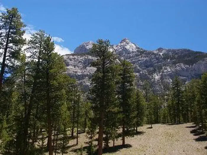 Foxtail Grp Picnic AreaCampingPhoto: Recreation.gov (RIDB) / public domain1.7 mi
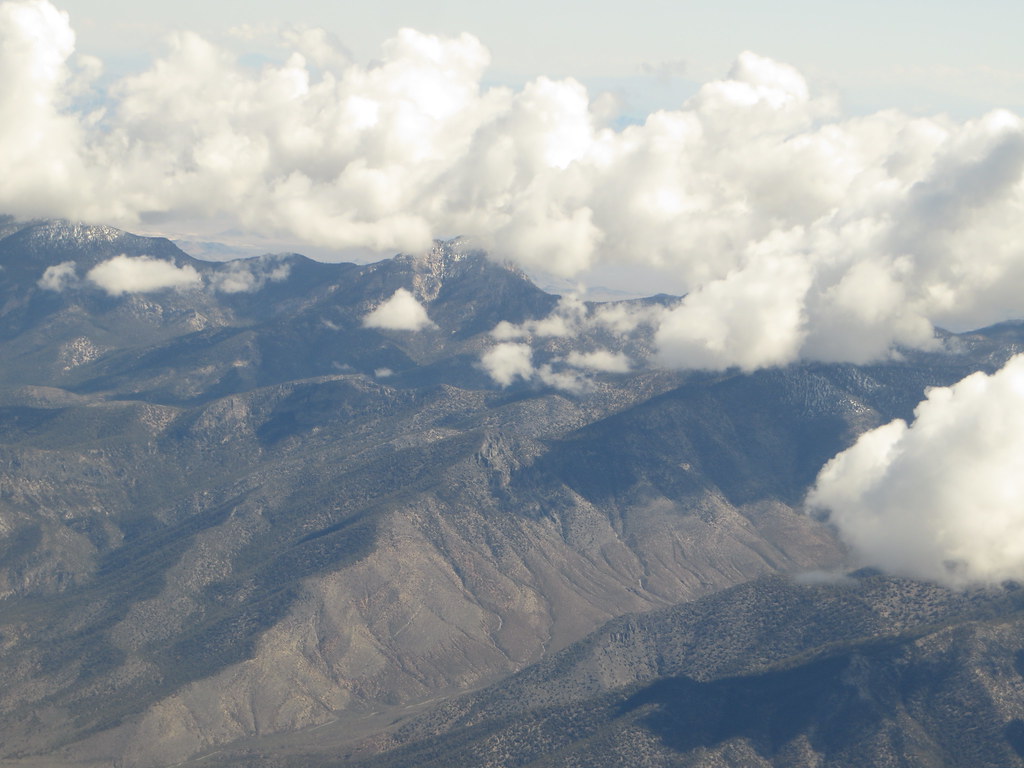 Charleston Peak Trail South LoopHikingPhoto: Ken Lund, CC BY-SA 2.0 (via Flickr)2.7 mi
- Nueva EsperanzaRock climbing3 mi
- Walla Walla WashRock climbing3 mi
- Yellow PineRock climbing3.1 mi
Source: Roamze catalog (indexable pages within 10 miles, PostGIS distance)
- BristleconeHiking · ~2 min drivePhoto: Ken Lund, CC BY-SA 2.0 (via Flickr)
- Green TrailHiking · ~2 min drivePhoto: Ken Lund, CC BY-SA 2.0 (via Flickr)
- Charleston Peak Trail South LoopHiking · ~5 min drivePhoto: Ken Lund, CC BY-SA 2.0 (via Flickr)
 Wildhorse RidgeHiking · ~7 min drivePhoto: redlicks, CC BY 3.0 (via Wikimedia Commons)
 North LoopHiking · ~8 min drivePhoto: bahniuk, CC BY 3.0 (via Wikimedia Commons)
 Mary Jane FallsHiking · ~6 min drivePhoto: Ken Lund, CC BY-SA 2.0 (via Flickr)
 Little Falls (upper)Hiking · ~8 min drivePhoto: christie_verbose, CC BY 2.0 (via Flickr)
 Bonanza TrailHiking · ~9 min drivePhoto: Ken Lund — CC BY-SA 2.0 (via Flickr)
 North Camp LoopHiking · ~7 min drivePhoto: bahniuk, CC BY 3.0 (via Wikimedia Commons)
 Cathedral RockHiking · ~8 min drivePhoto: christie_verbose, CC BY 2.0 (via Flickr)