Adt - Nevada - S - Seg 6
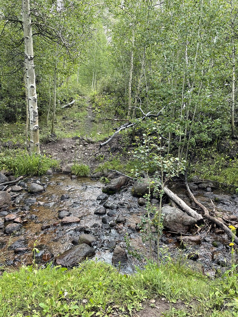
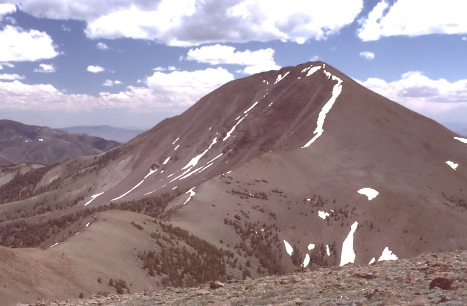
 Photo: Seth Tisue, CC BY-SA 2.0 (via Flickr)
- 1.9 mi
- round trip
- 730 ft
- climb
- 6,654 ft
- high point
- Out and back
- route
- Jun–Aug
- best months
Adt - Nevada - S - Seg 6 is an easy out-and-back hike in Berlin-Ichthyosaur State Park in Nevada, managed by State Park and Recreation. The route is about 3.8 miles long, with a total climb of 730 feet and a high point of 6,654 feet. The steepest stretch comes early, around 0.3 miles from the start, where the grade reaches about 10%. Late spring and early fall are the most comfortable times to go. Typical averages from a nearby weather station show May highs around 65°F and September highs around 76°F, with lows near 30°F in May and 31°F in September. That station sits at a similar elevation to the trail, so its figures are a fair guide. The trail starts close to several other routes. Cemetery Trail, Diana Mine Loop and Berlin Townsite Loop are all about 0.1 mile away, and Berlin Ichthyosaur Campground Access Trail is about 1.2 miles off.
 Cemetery TrailHikingPhoto: Seth Tisue, CC BY-SA 2.0 (via Flickr)0.1 mi
- Diana Mine LoopHiking0.1 mi
- Berlin Townsite LoopHiking0.1 mi
- Berlin-Ichthyosaur State Park RoadHikingPhoto: Seth Tisue, CC BY-SA 2.0 (via Flickr)0.8 mi
- Berlin Ichthyosaur Campground Access TrailHiking1.2 mi
- Richmond Canyon LoopHiking1.6 mi
- National Forest Development 024 TrailHiking4.1 mi
- Ione RoadHiking4.6 mi
Source: Roamze catalog (indexable pages within 10 miles, PostGIS distance)
- Adt - Nevada - S - Seg 6Hiking · ~1 min drivePhoto: Seth Tisue, CC BY-SA 2.0 (via Flickr)
 ColumbineHiking · ~21 min drivePhoto: Seth Tisue, CC BY-SA 2.0 (via Flickr)
 Arc Dome TrailHiking · ~24 min drivePhoto: Seth Tisue, CC BY-SA 2.0 (via Flickr)
- Toiyabe Crest TrailHiking · ~20 min drive
- Berlin-Ichthyosaur State Park RoadHiking · ~1 min drivePhoto: Seth Tisue, CC BY-SA 2.0 (via Flickr)
 Stewart CreekHiking · ~22 min drivePhoto: Seth Tisue, CC BY-SA 2.0 (via Flickr)
 North Twin River CutoffHiking · ~24 min drivePhoto: Seth Tisue, CC BY-SA 2.0 (via Flickr)
- TOIYABE CREST NATL REC TRAILHiking · ~28 min drive
- Berlin Townsite LoopHiking · Next door
- National Forest Development 024 TrailHiking · ~7 min drive
Best time to visit Adt - Nevada - S - Seg 6
Best months: June–August. Best months have typical highs of 55–85 °F, lows of 30 °F or warmer (32 °F where the station doesn't record snow), at most one snowy day and no more than 12 wet days.
Jan
42° / 11°
5 wet
Feb
45° / 14°
5 wet
Mar
51° / 20°
6 wet
Apr
57° / 23°
6 wet
May
65° / 30°
6 wet
Jun
76° / 35°
4 wet
Jul
85° / 41°
3 wet
Aug
83° / 39°
3 wet
Sep
76° / 31°
3 wet
Oct
64° / 22°
3 wet
Nov
51° / 15°
4 wet
Dec
42° / 10°
5 wet
Typical high / low (°F) and days with rain or snow, 1991–2020. Measured at Reese River Ione 13ne, NV, 16.4 mi away at 6,413 ft. This station doesn't record snowfall. Source: NOAA NCEI U.S. Climate Normals 1991–2020.
Map and trail data © OpenStreetMap contributors
