Ross Peak
- 7 routes
- 5.9 – 5.12b/c
- Alpine
Is Ross Peak open right now?
Closure in the area
There's a closure order in Bozeman Ranger District. It doesn't name Ross Peak, so check the source for the area it covers (17 listed).
Hyalite Canyon South Road Closure Order
Agency closure covering Bozeman Ranger District · Order 01-11-06-27-04 · USFS · Bozeman Ranger District
Sourdough/Bozeman Creek Trailhead and Trail Closure
Agency closure covering Bozeman Ranger District · Order 01-11-06-27-02 · USFS · Bozeman Ranger District
NFSR #1700 South Plateau Road Closure
Agency closure covering Custer Gallatin National Forest · USFS · Custer Gallatin National Forest
Storm Castle Creek Trail #185 Temporarily Closed Due to Storm Damage
Agency closure covering Bozeman Ranger District · Order 01-11-06-26-07 · USFS · Bozeman Ranger District
Hyalite Porcupine Buffalo Horn Summer Interim Travel Order and Map and Order # 01-11-00-26-02
Agency closure covering Custer Gallatin National Forest · Order 01-11-00-26-02 · USFS · Custer Gallatin National Forest
As of · Source: USFS · Bozeman Ranger District. Agencies don't list every closure — check before you go.
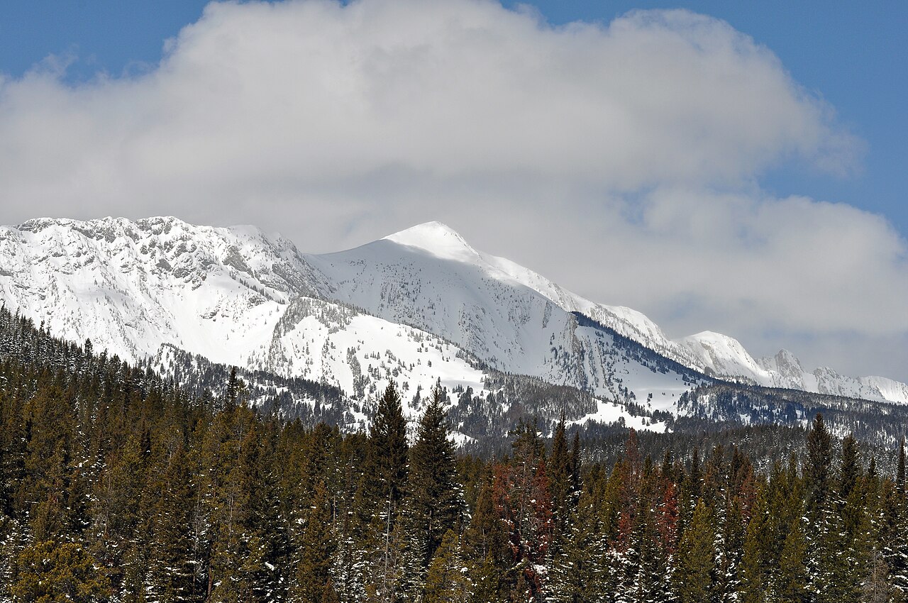
Ross Peak is a climbing area in the Bozeman Ranger District of Custer Gallatin National Forest in Montana, managed by the Forest Service. It sits among a cluster of alpine routes, with seven climbing lines on record, all rated between 5.9 and 5.12b/c on the YDS scale. The routes are alpine in style, and the hardest is Blue Phoenix at 5.12b/c. The area is close to several other climbing spots. The Bud Wall and Summer Triangle (aka Upper Replica) are both about 1.6 miles away, and Wolverine Bowl is about 1.7 miles off. For a base, Battle Ridge Cabin is about 3.2 miles away.
- Bridger Foothills TrailMountain biking1.5 mi
- Ross Pass TrailMountain biking1.5 mi
- South Fork Bracket Creek RoadMountain biking1.5 mi
- The Bud WallRock climbing1.6 mi
- Summer Triangle (aka Upper Replica)Rock climbing1.6 mi
- Wolverine BowlRock climbing1.7 mi
- Battle Ridge CabinCamping3.2 mi
- Fairy LakeCamping3.4 mi
Source: Roamze catalog (indexable pages within 10 miles, PostGIS distance)
- The Bud WallRock climbing · ~3 min drive
- Wolverine BowlRock climbing · ~3 min drive
- Lower ReplicaRock climbing · ~3 min drive
- Bridger RangeRock climbing · ~8 min drive
- Bozeman PassRock climbing · ~26 min drive
- Kitchen SinkRock climbing · ~26 min drive
- Frog RockRock climbing · ~26 min drive
- Main AreaRock climbing · ~26 min drive
- Under The Sea WallRock climbing · ~30 min drive
- Bear CanyonRock climbing · ~31 min drive
Also worth it near here
- Bridger Foothills TrailMountain biking · ~3 min drive
- Fr631-09Camping · ~3 min drive
 South Fork Brackett CreekHiking · ~4 min drivePhoto: Matt Lavin, CC BY-SA 2.0 (via Flickr)
- North To NorwayCross-country skiing · ~4 min drive
 Sacagawea PeakSummit · ~5 min drivePhoto: Mike Cline, Public domain (via Wikimedia Commons)
