Bear Canyon Campground
Campground
Campground · 1.9 mi from the trail
Closure in the area
There's a closure order in Bozeman Ranger District. It doesn't name Kitchen Sink, so check the source for the area it covers (16 listed).
Sourdough/Bozeman Creek Trailhead and Trail Closure
Agency closure covering Bozeman Ranger District · Order 01-11-06-27-02 · USFS · Bozeman Ranger District
NFSR #1700 South Plateau Road Closure
Agency closure covering Custer Gallatin National Forest · USFS · Custer Gallatin National Forest
Storm Castle Creek Trail #185 Temporarily Closed Due to Storm Damage
Agency closure covering Bozeman Ranger District · Order 01-11-06-26-07 · USFS · Bozeman Ranger District
Hyalite Porcupine Buffalo Horn Summer Interim Travel Order and Map and Order # 01-11-00-26-02
Agency closure covering Custer Gallatin National Forest · Order 01-11-00-26-02 · USFS · Custer Gallatin National Forest
Hyalite Porcupine Buffalo Horn Winter Interim Travel Order and Map Order Number: #01-11-00-26-01
Agency closure covering Custer Gallatin National Forest · USFS · Custer Gallatin National Forest
As of · Source: USFS · Bozeman Ranger District. Agencies don't list every closure — check before you go.
Kitchen Sink is a sport climbing area in the Bozeman Ranger District of Custer Gallatin National Forest in Montana, managed by the Forest Service. It sits among a cluster of climbing spots, with Bozeman Pass and The Training Wall each about 0.1 mile away. The area has five sport routes, with grades ranging from 5.9- to 5.11c. The hardest is Junk Show at 5.11c, and the easiest is The Little Drill That Couldn't at 5.9-. Night Shift, a 5.10b/c, was first climbed by Tom Kalakay in June 1989. Summer is the most comfortable time to climb. Typical averages from a nearby weather station in Bozeman show July highs around 82°F with lows near 52°F, while winter brings highs in the low 30s and regular snow days. The East Crags Trail starts about 0.4 mile away, and Rocky Canyon is about 0.9 mile off. For an overnight stay, Trail Creek Cabin is about 6 miles away.
Bear Canyon Campground
Campground
Places © OpenStreetMap contributors
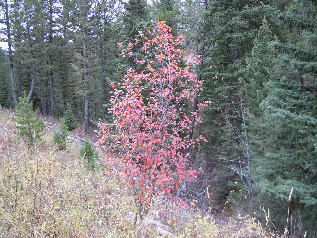
More in Emigrant East Crags TrailHikingPhoto: Matt Lavin, CC BY-SA 2.0 (via Flickr)0.4 mi
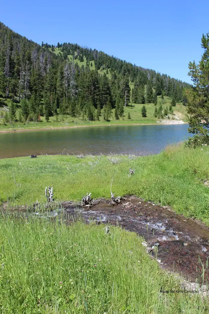
 Rocky CanyonHikingPhoto: Matt Lavin, CC BY-SA 2.0 (via Flickr)0.9 mi
 Mystic Lake CabinCampingPhoto: Recreation.gov (RIDB) / public domain7 mi
 East Gallatin RiverCanoeingPhoto: Mike Cline, Public domain (via Wikimedia Commons)8.3 mi
Source: Roamze catalog (indexable pages within 10 miles, PostGIS distance)
Best months: July–September. Best months have typical highs of 55–85 °F, lows of 30 °F or warmer (32 °F where the station doesn't record snow), at most one snowy day and no more than 12 wet days.
Jan
34° / 15°
11 wet · 9 snow
Feb
37° / 17°
10 wet · 8 snow
Mar
46° / 24°
12 wet · 9 snow
Apr
54° / 30°
13 wet · 6 snow
May
63° / 39°
15 wet · 2 snow
Jun
72° / 46°
15 wet
Jul
82° / 52°
11 wet
Aug
81° / 50°
10 wet
Sep
71° / 42°
9 wet · 1 snow
Oct
57° / 32°
10 wet · 3 snow
Nov
42° / 22°
10 wet · 7 snow
Dec
33° / 14°
11 wet · 9 snow
Typical high / low (°F) and days with rain or snow, 1991–2020. Measured at Bozeman Montana State Univ, MT, 6.9 mi away at 4,913 ft. Source: NOAA NCEI U.S. Climate Normals 1991–2020.
