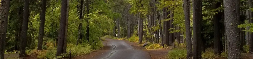
Big Creek Campground (Flathead NF, MT)
Campground
Campground · 6.6 mi from the trail
Alert in the area
The Forest Service lists 6 alerts for Flathead National Forest.
Ashley Lake North Campground Closure
Agency alert covering Flathead National Forest · Order 01-10- · USFS · Flathead National Forest
Camp Creek Fire Updated Trail Closure
Agency alert covering Flathead National Forest · Order 01-10- · USFS · Flathead National Forest
FK&L Area Closed to Public Access Starting July 22, 2026
Agency alert covering Flathead National Forest · Order 01-10- · USFS · Flathead National Forest
Trail 800 Tally-Ashely Closure
Agency alert covering Flathead National Forest · Order 01-10- · USFS · Flathead National Forest
Ryan Creek Occupancy and Use Order
Agency alert covering Flathead National Forest · Order 1-10- · USFS · Flathead National Forest
As of · Source: USFS · Flathead National Forest. Agencies don't list every closure — check before you go.
Kimmerly Sm is a cross-country skiing route in Montana's Flathead National Forest, within the Glacier View Ranger District. The route is an out-and-back, stretching about 13.9 miles, with a one-way climb of 2,078 feet from a low point of 3,666 feet to a high point of 6,072 feet. The Forest Service manages the land. The route is rated hard, so plan for a long day on the snow with a significant elevation gain. The climb starts at the lower end and works steadily upward, and the high point of the route sits well above 6,000 feet. The closest options for other outings are Kimmerly Creek, a hike about 1.8 miles away, and Canyon Sm, another cross-country ski route about 3.1 miles away. Smoky Access, a hike about 3.4 miles off, and Big Creek Campground, about 6.6 miles away, are also nearby.
Big Creek Campground (Flathead NF, MT)
Campground
Last Chair Kitchen & Bar
Restaurant
The Bruck Bus-Truck
Attraction
Places © OpenStreetMap contributors
More in WhitefishNot on Roamze yet. Their page has how to reach them.
 Apgar Group SitesCampingPhoto: Recreation.gov (RIDB) / public domain9.5 mi
Source: Roamze catalog (indexable pages within 10 miles, PostGIS distance)

