Paola River Access
Is Paola River Access open right now?
Alert in the area
The Forest Service lists 6 alerts for Flathead National Forest.
Ashley Lake North Campground Closure
Agency alert covering Flathead National Forest · Order 01-10- · USFS · Flathead National Forest
Camp Creek Fire Updated Trail Closure
Agency alert covering Flathead National Forest · Order 01-10- · USFS · Flathead National Forest
FK&L Area Closed to Public Access Starting July 22, 2026
Agency alert covering Flathead National Forest · Order 01-10- · USFS · Flathead National Forest
Trail 800 Tally-Ashely Closure
Agency alert covering Flathead National Forest · Order 01-10- · USFS · Flathead National Forest
Ryan Creek Occupancy and Use Order
Agency alert covering Flathead National Forest · Order 1-10- · USFS · Flathead National Forest
As of · Source: USFS · Flathead National Forest. Agencies don't list every closure — check before you go.
Paola River Access is a boat launch in the Hungry Horse Ranger District of Montana's Flathead National Forest, about a mile from the town of Pinnacle. It is a simple put-in with vault toilets, and no fees are required to use the site. Summer is the most comfortable time to visit. Typical averages from the Hungry Horse Dam weather station, about 17.5 miles away, show July highs around 82°F with lows near 53°F and only about seven wet days in the month. Winters are cold, with January highs around 31°F. Several hikes lie within a few miles, including Tunnel Creek at 2.5 miles and Park Creek at 3 miles. For an overnight stay, Riverside Campground is about 9.5 miles away.
- Fee
- No fee
- Restrooms
- Yes
- Tunnel CreekHiking2.5 mi
 Park CreekHikingPhoto: Forest Service - Northern Region, Public Domain Mark (via Flickr)3 mi
- Dickey CreekHiking4.2 mi
- Grant RidgeHiking4.7 mi
- Marion LakeHiking4.8 mi
- Riverside Campground (mt)Camping9.5 mi
- Riverside CampgroundSaltwater fishing9.5 mi
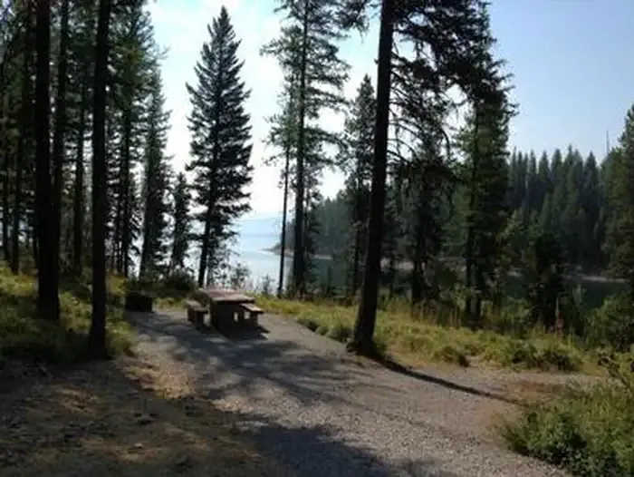 Murray Bay Campground (mt)CampingPhoto: Recreation.gov (RIDB) / public domain9.6 mi
Source: Roamze catalog (indexable pages within 10 miles, PostGIS distance)
 Saint Mary RiverCanoeing · ~36 min drivePhoto: Royalbroil, CC BY-SA 3.0 (via Wikimedia Commons)
- Essex River AccessBoat launch · ~9 min drive
- Swan Lake CampgroundStand up paddleboarding · ~51 min drive
 Two Medicine RiverCanoeing · ~38 min drivePhoto: Steve Wilson, CC BY-SA 2.0 (via Wikimedia Commons)
- Cascadilla Flat River AccessBoat launch · ~14 min drive
 Middle Fork Flathead RiverCanoeing · ~1h drivePhoto: US Geological Survey, Public domain (via Wikimedia Commons)
- Abbot Bay Boating SiteBoat launch · ~16 min drive
 South Fork Flathead RiverCanoeing · ~1h 3m drivePhoto: Public domain (via Wikimedia Commons)
- Murray Bay boat launchBoat launch · ~17 min drive
 Cut Bank CreekCanoeing · ~56 min drivePhoto: Royalbroil, CC BY-SA 3.0 (via Wikimedia Commons)
