Fairy Creek Trail
- 2.1 mi
- round trip
- 2,121 ft
- climb
- Singletrack
- surface
- Out and back
- route
Is Fairy Creek Trail open right now?
Closure in the area
There's a closure order in Bozeman Ranger District. It doesn't name Fairy Creek Trail, so check the source for the area it covers (16 listed).
Sourdough/Bozeman Creek Trailhead and Trail Closure
Agency closure covering Bozeman Ranger District · Order 01-11-06-27-02 · USFS · Bozeman Ranger District
NFSR #1700 South Plateau Road Closure
Agency closure covering Custer Gallatin National Forest · USFS · Custer Gallatin National Forest
Storm Castle Creek Trail #185 Temporarily Closed Due to Storm Damage
Agency closure covering Bozeman Ranger District · Order 01-11-06-26-07 · USFS · Bozeman Ranger District
Hyalite Porcupine Buffalo Horn Summer Interim Travel Order and Map and Order # 01-11-00-26-02
Agency closure covering Custer Gallatin National Forest · Order 01-11-00-26-02 · USFS · Custer Gallatin National Forest
Hyalite Porcupine Buffalo Horn Winter Interim Travel Order and Map Order Number: #01-11-00-26-01
Agency closure covering Custer Gallatin National Forest · USFS · Custer Gallatin National Forest
As of · Source: USFS · Bozeman Ranger District. Agencies don't list every closure — check before you go.
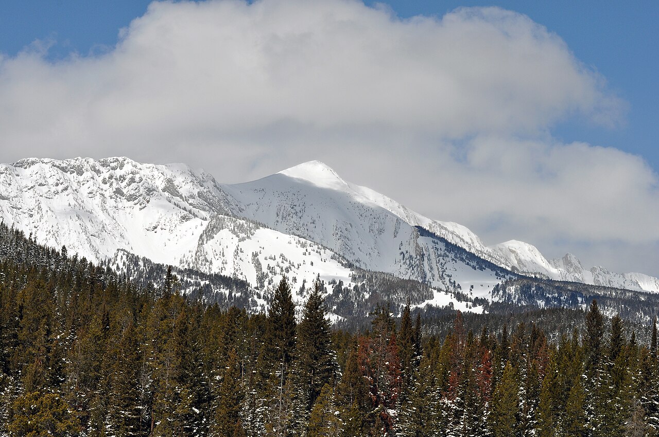
Fairy Creek Trail is a mountain biking route in Montana's Custer Gallatin National Forest, within the Bozeman Ranger District. The trail is an out-and-back that climbs about 2,121 feet over a 4.2-mile round trip, with the high point at 7,573 feet and the low at 6,787 feet. The steepest stretch comes at about 1.3 miles in, with a grade of 24 percent, and the route is rated hard. The trail is managed by the Forest Service, and the climb is steep enough to make it a challenge for riders looking for a serious ride. The route starts and ends close to Fairy Lake, with Fairy Lake campground about 0.4 miles away and the Fairy Lakeshore hike about 0.2 miles off. Sacagawea Pass is a short hike at 0.3 miles. For more riding, the Bridger Foothills Trail lies about a mile away. Climbers can head to Ainger Lake, roughly 1.7 miles off, or Ross Peak, about 3.1 miles away.
Keep exploring — more rides worth the drive
RIDE
Bridger Foothills Trail
~2 min drive
5.36-mile hard singletrack in Montana with 2,534 ft elevation gain.
RIDE
Shafthouse Hill
~4 min drive
5.74-mile out-and-back trail in Montana with 2,366 ft elevation gain.
RIDE
Jeep Trail
~5 min drive
1.02-mile out-and-back singletrack in Montana with 672 ft of elevation gain.
RIDE
South Fork Bracket Creek Road
~6 min drive
1.64-mile out-and-back gravel road with 1,015 ft gain in Montana
RIDE
Fairy Creek Trail
~4 min drive
3.03-mile out-and-back singletrack in Montana rated Black Diamond / Difficult with 1,379 ft elevation gain.
RIDE
South Fork Brackett Creek
~8 min drive
1.66-mile out-and-back trail in Montana with 345 ft elevation gain.
RIDE
Closed Jeep Trail
~6 min drive
0.91-mile easy singletrack out-and-back with 410 ft gain in Montana
RIDE
Jeep Trail
~10 min drive
0.41-mile moderate singletrack out-and-back in Montana with 207 ft gain.
RIDE
Corbly Gulch Trail
~4 min drive
2.39-mile out-and-back singletrack in Montana with 2,217 ft elevation gain.
RIDE
East Bridger North
~9 min drive
4.64-mile out-and-back trail in Montana with 1,151 ft of elevation gain.

Map and trail data © OpenStreetMap contributors
