Bridger Foothills Trail
- 5.4 mi
- round trip
- 5,866 ft
- climb
- Singletrack
- surface
- Out and back
- route
Is Bridger Foothills Trail open right now?
Closure in the area
There's a closure order in Bozeman Ranger District. It doesn't name Bridger Foothills Trail, so check the source for the area it covers (17 listed).
Hyalite Canyon South Road Closure Order
Agency closure covering Bozeman Ranger District · Order 01-11-06-27-04 · USFS · Bozeman Ranger District
Sourdough/Bozeman Creek Trailhead and Trail Closure
Agency closure covering Bozeman Ranger District · Order 01-11-06-27-02 · USFS · Bozeman Ranger District
NFSR #1700 South Plateau Road Closure
Agency closure covering Custer Gallatin National Forest · USFS · Custer Gallatin National Forest
Storm Castle Creek Trail #185 Temporarily Closed Due to Storm Damage
Agency closure covering Bozeman Ranger District · Order 01-11-06-26-07 · USFS · Bozeman Ranger District
Hyalite Porcupine Buffalo Horn Summer Interim Travel Order and Map and Order # 01-11-00-26-02
Agency closure covering Custer Gallatin National Forest · Order 01-11-00-26-02 · USFS · Custer Gallatin National Forest
As of · Source: USFS · Bozeman Ranger District. Agencies don't list every closure — check before you go.
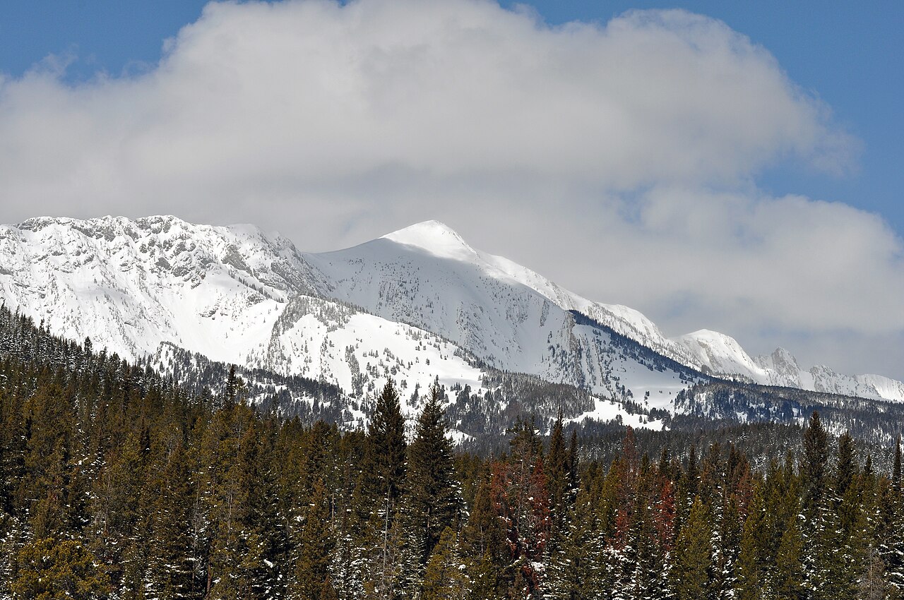
The Bridger Foothills Trail is a mountain biking route in Montana's Custer Gallatin National Forest, within the Bozeman Ranger District. It is a hard ride, with a round-trip distance of about 10.7 miles and a total elevation gain of about 2,000 feet. The trail is an out-and-back, starting at roughly 8,955 feet and climbing to a high point of about 9,000 feet. The climb is steady, and the steepest stretch comes at about 3.8 miles in, where the grade reaches about 43%. That makes the trail a serious challenge for riders, and the route is best suited to those prepared for a long, sustained climb. The trail sits close to several other destinations. Fairy Lake campground is less than a mile away, and the Sacagawea Pass and Fairy Lakeshore hikes are each about 0.9 miles off. The Fairy Creek Trail, another mountain biking route, is about a mile away.
- Fairy LakeCamping0.8 mi
 Sacagawea PassHikingPhoto: Forest Service - Northern Region, Public Domain Mark (via Flickr)0.9 mi
- Fairy LakeshoreHikingPhoto: Forest Service - Northern Region, Public Domain Mark (via Flickr)0.9 mi
- Fairy Creek TrailMountain biking1 mi
- Ainger LakeRock climbing1.7 mi
- Bridger RangeRock climbing2.5 mi
- Ross PeakRock climbing3 mi
- Battle Ridge CabinCamping4.4 mi
Source: Roamze catalog (indexable pages within 10 miles, PostGIS distance)
- Upper Bracket Creek TrailMountain biking · ~5 min drive
- Carrol Creek TrailMountain biking · ~6 min drive
- South Fork Bracket Creek RoadMountain biking · ~7 min drive
- South Fork Brackett CreekMountain biking · ~9 min drive
- Fairy Creek TrailMountain biking · ~5 min drive
- Jeep TrailMountain biking · ~7 min drive
- Jeep TrailMountain biking · ~11 min drive
- East Bridger NorthMountain biking · ~9 min drive
- Fairy Creek TrailMountain biking · ~6 min drive
- Jeep TrailMountain biking · ~8 min drive
Map and trail data © OpenStreetMap contributors
