Upper Bracket Creek Trail
- 3.6 mi
- round trip
- 2,485 ft
- climb
- Singletrack
- surface
- Out and back
- route
Is Upper Bracket Creek Trail open right now?
Closure in the area
There's a closure order in Bozeman Ranger District. It doesn't name Upper Bracket Creek Trail, so check the source for the area it covers (16 listed).
Sourdough/Bozeman Creek Trailhead and Trail Closure
Agency closure covering Bozeman Ranger District · Order 01-11-06-27-02 · USFS · Bozeman Ranger District
NFSR #1700 South Plateau Road Closure
Agency closure covering Custer Gallatin National Forest · USFS · Custer Gallatin National Forest
Storm Castle Creek Trail #185 Temporarily Closed Due to Storm Damage
Agency closure covering Bozeman Ranger District · Order 01-11-06-26-07 · USFS · Bozeman Ranger District
Hyalite Porcupine Buffalo Horn Summer Interim Travel Order and Map and Order # 01-11-00-26-02
Agency closure covering Custer Gallatin National Forest · Order 01-11-00-26-02 · USFS · Custer Gallatin National Forest
Hyalite Porcupine Buffalo Horn Winter Interim Travel Order and Map Order Number: #01-11-00-26-01
Agency closure covering Custer Gallatin National Forest · USFS · Custer Gallatin National Forest
As of · Source: USFS · Bozeman Ranger District. Agencies don't list every closure — check before you go.
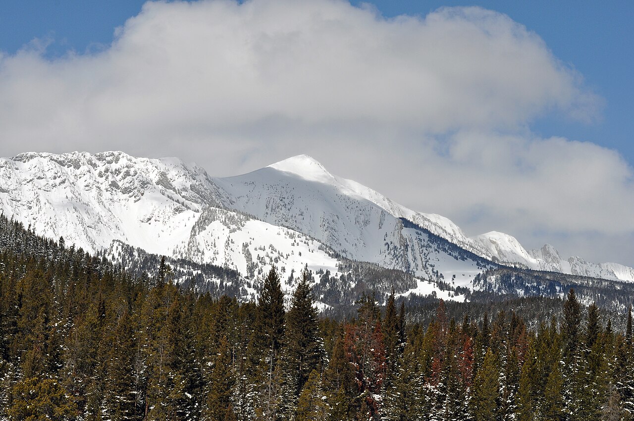
Upper Bracket Creek Trail is a mountain biking route in the Bozeman Ranger District of Custer Gallatin National Forest in Montana, managed by the Forest Service. The trail is an out-and-back that starts at about 6,837 feet and climbs to about 7,676 feet, with a total elevation gain of 2,485 feet over the round trip. The one-way climb is about 3.6 miles, and the steepest stretch comes at about 2.3 miles in, where the grade reaches 19%. The trail is rated hard, and the climb is steep. The route is long and the elevation gain is significant, so plan for a full day on the trail. Fairy Creek Trail starts just 0.1 mile away, and Jeep Trail is about a mile off. For an overnight stay, Battle Ridge Cabin is about 1.9 miles away, and Ross Peak, a climbing area, is about 1.8 miles away.
Keep exploring — more rides worth the drive
RIDE
Fairy Creek Trail
Next door
3.03-mile out-and-back singletrack in Montana rated Black Diamond / Difficult with 1,379 ft elevation gain.
RIDE
Jeep Trail
~2 min drive
1.02-mile out-and-back singletrack in Montana with 672 ft of elevation gain.
RIDE
South Fork Bracket Creek Road
~3 min drive
1.64-mile out-and-back gravel road with 1,015 ft gain in Montana
RIDE
South Fork Brackett Creek
~5 min drive
1.66-mile out-and-back trail in Montana with 345 ft elevation gain.
RIDE
Fairy Creek Trail
~1 min drive
Hard singletrack out-and-back in Montana, 0.85 miles, 384 ft gain.
RIDE
Closed Jeep Trail
~2 min drive
0.91-mile easy singletrack out-and-back with 410 ft gain in Montana
RIDE
Jeep Trail
~7 min drive
0.41-mile moderate singletrack out-and-back in Montana with 207 ft gain.
RIDE
East Bridger North
~6 min drive
4.64-mile out-and-back trail in Montana with 1,151 ft of elevation gain.
RIDE
Ross Pass Trail
~4 min drive
2.40-mile hard singletrack out and back with 1606 ft gain in Montana.
RIDE
Jeep Trail
~2 min drive
0.23-mile easy singletrack out-and-back in Montana with 86 ft elevation gain.
Map and trail data © OpenStreetMap contributors
