Livingston RV Park & Campground
Campground
Campground · 0.7 mi from the trail
The Yellowston River Levee Trail is a short, easy walk of about 1.4 miles that loops back on itself, with a start and end point at roughly 4,490 feet and a high point of about 4,500 feet. It sits about a mile from the small community of High Ground Addition in southwest Montana. The trail is nearly flat, with a total climb of about 59 feet and a similar drop on the return, making it a simple stroll for anyone passing through the area. Summer is the most comfortable time to go. Typical averages from a nearby weather station run to highs around 74°F in June and 86°F in July, while winter highs stay in the mid-30s. The trip takes about half an hour, so it works well as a quick stop. Climbers can find the Allenspur and Main Crag areas about 3.7 miles away, and the Livingston Peak hike is about 5 miles off.
Livingston RV Park & Campground
Campground
Parks Reece Gallery
Gallery
Places © OpenStreetMap contributors, Places © Overture Maps Foundation
More in EmigrantNot on Roamze yet. Their page has how to reach them.
Source: Roamze catalog (indexable pages within 10 miles, PostGIS distance)
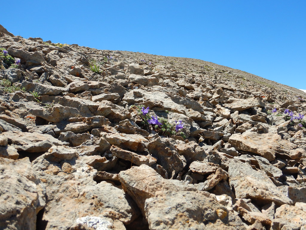 Blacktail LakeHiking · ~17 min drivePhoto: Matt Lavin, CC BY-SA 2.0 (via Flickr)
 Pine CreekHiking · ~19 min drivePhoto: Matt Lavin from Bozeman, Montana, USA, CC BY-SA 2.0 (via Wikimedia Commons)George Lake TieHiking · ~19 min drivePhoto: Matt Lavin from Bozeman, Montana, USA, CC BY-SA 2.0 (via Wikimedia Commons)
 Grouse CreekHiking · ~25 min drivePhoto: Forest Service - Northern Region, Public Domain Mark (via Flickr)
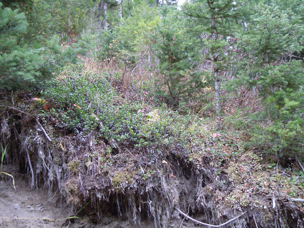 Frog RockHiking · ~27 min drivePhoto: Matt Lavin, CC BY-SA 2.0 (via Flickr)
 Chestnut MountainHiking · ~28 min drivePhoto: Matt Lavin, CC BY-SA 2.0 (via Flickr)
Best months: August–October. Best months have typical highs of 55–85 °F, lows of 30 °F or warmer (32 °F where the station doesn't record snow), at most one snowy day and no more than 12 wet days.
Jan
37° / 19°
6 wet
Feb
39° / 19°
6 wet
Mar
48° / 24°
9 wet
Apr
54° / 30°
11 wet
May
64° / 38°
14 wet
Jun
74° / 45°
13 wet
Jul
86° / 50°
9 wet
Aug
85° / 48°
8 wet
Sep
74° / 41°
8 wet
Oct
58° / 33°
9 wet
Nov
45° / 25°
7 wet
Dec
36° / 19°
6 wet
Typical high / low (°F) and days with rain or snow, 1991–2020. Measured at Livingston Mission Fld, MT, 6.8 mi away at 4,643 ft. This station doesn't record snowfall. Source: NOAA NCEI U.S. Climate Normals 1991–2020.
Map and trail data © OpenStreetMap contributors
