Rock Canyon RV Park
Campground
Campground · 1.0 mi from the trail
The Allenspur Approach Trail is a short, easy out-and-back hike of about 1.1 miles, with a total elevation gain of 384 feet, on land managed by State Fish and Wildlife at Carter's Bridge Fishing Access Site in Montana. The trail starts at about 4,558 feet and climbs to a high point of 4,932 feet, with the steepest stretch at about 0.43 miles in, where the grade reaches 43 percent. The route is front-loaded, so the climb is most intense at the beginning. Summer is the most comfortable time to go. Typical averages from a nearby weather station in Livingston, at a similar elevation, show July highs around 82°F with lows near 52°F, while winter highs stay in the mid-30s. The trail sits close to several climbing areas, including Main Crag and Boundary Crag, each about 0.3 miles away, and Allenspur at 0.4 miles. For more hiking, Suce Creek West is about 3 miles off.
Rock Canyon RV Park
Campground
Parks Reece Gallery
Gallery
Places © OpenStreetMap contributors, Places © Overture Maps Foundation
More in EmigrantNot on Roamze yet. Their page has how to reach them.
Source: Roamze catalog (indexable pages within 10 miles, PostGIS distance)
 George Lake TieHiking · ~13 min drivePhoto: Matt Lavin from Bozeman, Montana, USA, CC BY-SA 2.0 (via Wikimedia Commons)Pine CreekHiking · ~13 min drivePhoto: Matt Lavin from Bozeman, Montana, USA, CC BY-SA 2.0 (via Wikimedia Commons)
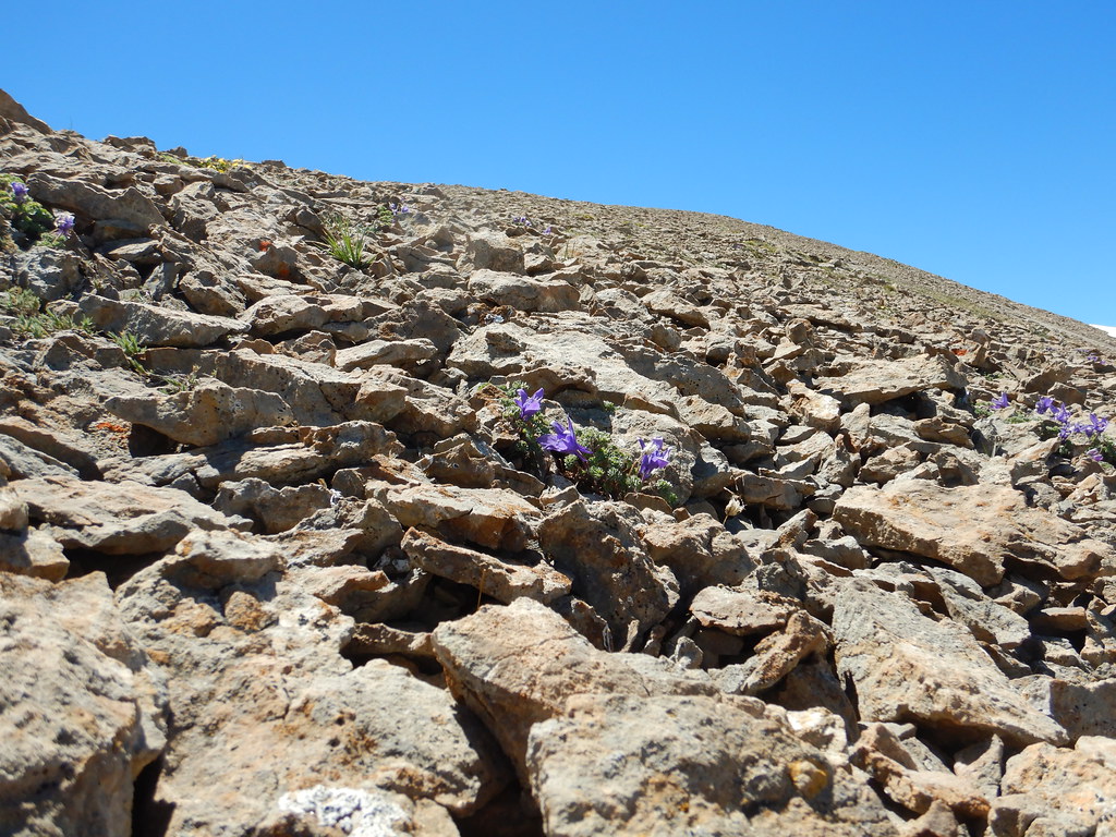 Blacktail LakeHiking · ~13 min drivePhoto: Matt Lavin, CC BY-SA 2.0 (via Flickr)
 Grouse CreekHiking · ~23 min drivePhoto: Forest Service - Northern Region, Public Domain Mark (via Flickr)
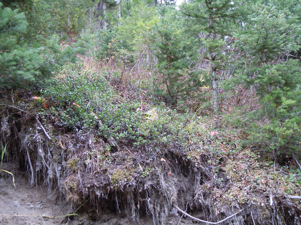 Frog RockHiking · ~27 min drivePhoto: Matt Lavin, CC BY-SA 2.0 (via Flickr)
 Chestnut MountainHiking · ~27 min drivePhoto: Matt Lavin, CC BY-SA 2.0 (via Flickr)
Also worth it near here
Best months: April–October. Best months have typical highs of 55–85 °F, lows of 30 °F or warmer (32 °F where the station doesn't record snow), at most one snowy day and no more than 12 wet days.
Jan
35° / 20°
7 wet
Feb
38° / 20°
7 wet
Mar
48° / 27°
8 wet
Apr
55° / 32°
9 wet
May
64° / 40°
11 wet
Jun
72° / 46°
11 wet
Jul
82° / 52°
9 wet
Aug
81° / 50°
7 wet
Sep
71° / 44°
7 wet
Oct
57° / 35°
7 wet
Nov
44° / 26°
6 wet
Dec
34° / 20°
6 wet
Typical high / low (°F) and days with rain or snow, 1991–2020. Measured at Livingston 12 S, MT, 7 mi away at 5,044 ft. This station doesn't record snowfall. Source: NOAA NCEI U.S. Climate Normals 1991–2020.
Map and trail data © OpenStreetMap contributors
