Missioncr02
Campground
Campground · 4.1 mi from the trail
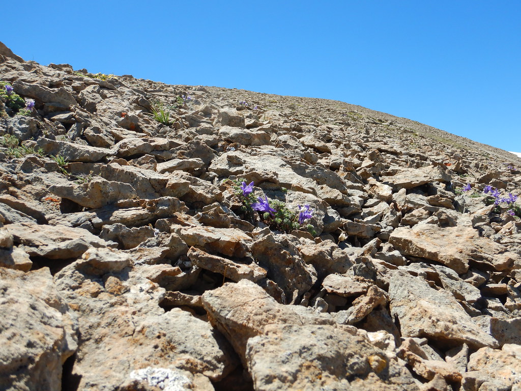 Photo: Matt Lavin, CC BY-SA 2.0 (via Flickr)
Caution today
Agency alerts are in effect for this area; weather is good · USFS, OpenWeather · checked 9 h ago
Closure in the area
There's a closure order in Yellowstone Ranger District. It doesn't name Blacktail Lake, so check the source for the area it covers (13 listed).
East Fork of the Mill Creek Trail Bridge Stock Closure
Agency closure covering Yellowstone Ranger District · Order 01-11-04-26-03 · USFS · Yellowstone Ranger District
NFSR #1700 South Plateau Road Closure
Agency closure covering Custer Gallatin National Forest · USFS · Custer Gallatin National Forest
Hyalite Porcupine Buffalo Horn Summer Interim Travel Order and Map and Order # 01-11-00-26-02
Agency closure covering Custer Gallatin National Forest · Order 01-11-00-26-02 · USFS · Custer Gallatin National Forest
Hyalite Porcupine Buffalo Horn Winter Interim Travel Order and Map Order Number: #01-11-00-26-01
Agency closure covering Custer Gallatin National Forest · USFS · Custer Gallatin National Forest
Glacier Lake Road #2421 Closure Order Number: # 01-11-82-26- 01
Agency closure covering Custer Gallatin National Forest · Order 01-11-82-26- · USFS · Custer Gallatin National Forest
As of · Source: USFS · Yellowstone Ranger District. Agencies don't list every closure — check before you go.
Blacktail Lake is an easy hike of about 0.7 miles in the Absaroka-Beartooth Wilderness, part of the Yellowstone Ranger District of Custer Gallatin National Forest in Montana. The Forest Service manages the land, and the nearest town is Minnie Rahn Place, about 6.5 miles away. The trail is an out-and-back with a one-way climb of about 150 feet, from a low point of 8,473 feet to a high of 8,727 feet. The route is natural-surface and allows horses, and bikes are not permitted. For more time on foot, Blacktail Creek lies about 1.6 miles away and Canyon Creek about 2.2 miles. Pine Creek campground is roughly 5.6 miles off, and climbers can find 7-11 Crag about 7.4 miles away.
Missioncr02
Campground
The Flying Squirrel Gallery
Gallery
Places © OpenStreetMap contributors
More in EmigrantNot on Roamze yet. Their page has how to reach them.
 Photo: Matt Lavin from Bozeman, Montana, USA, CC BY-SA 2.0 (via Wikimedia Commons)
Pine Creek
~9 min drive
9.72-mile out-and-back trail in Montana with 3,402 ft of elevation gain.
Photo: Matt Lavin from Bozeman, Montana, USA, CC BY-SA 2.0 (via Wikimedia Commons)George Lake Tie
~9 min drive
George Lake Tie is a 1.02-mile out-and-back trail in Montana with 194 feet of elevation gain.
HIKE
Blacktail Creek
~3 min drive
5.40-mile out-and-back trail in Montana with 2,373 ft elevation gain.
HIKE
Elephanthead
~6 min drive
10.32-mile out-and-back trail in Montana with 5,698 ft elevation gain.
Photo: Matt Lavin from Bozeman, Montana, USA, CC BY-SA 2.0 (via Wikimedia Commons)George Lake
~10 min drive
George Lake is a 9.98-mile out-and-back trail in Montana with 2,114 ft of elevation gain.
 Photo: Forest Service - Northern Region, Public Domain Mark (via Flickr)
East Rim of Natural Bridge
~18 min drive
0.66-mile out-and-back trail along the east rim of Natural Bridge in Montana.
HIKE
Suce Creek West
~8 min drive
3.61-mile out-and-back trail in Montana with 1,041 ft of elevation gain.
HIKE
Livingston Peak
~9 min drive
11.22-mile out-and-back trail in Montana with 3,478 ft elevation gain.
 Photo: Forest Service - Northern Region, Public Domain Mark (via Flickr)
Grouse Creek
~11 min drive
13.39-mile out-and-back trail in Montana with 2,625 ft elevation gain.
HIKE
Lost Creek
~9 min drive
2.52-mile out-and-back trail in Montana with 629 ft gain.

