

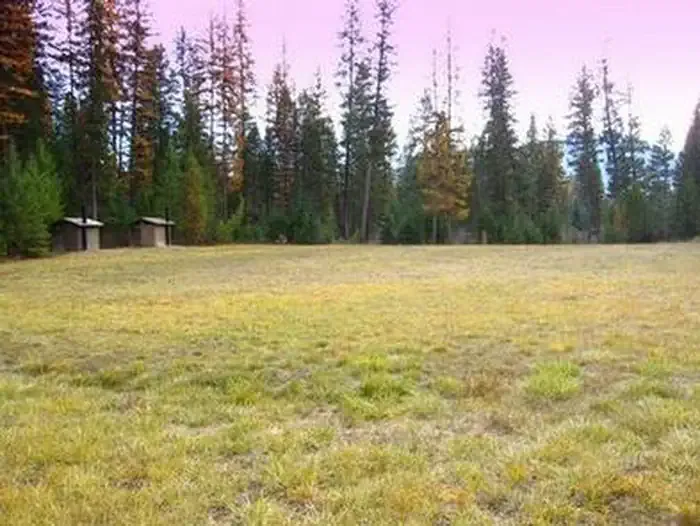
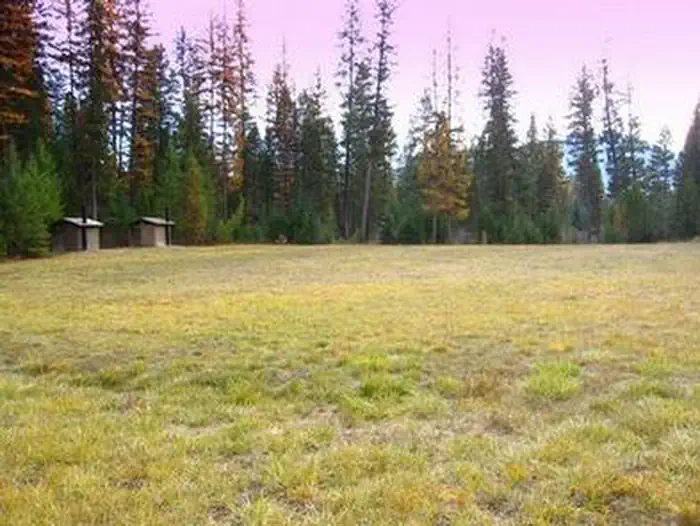
Kootenai River Campground
Hiking business nearby (~9 mi away) — hasn't claimed their Roamze page yet
Free — you'll pick up right here.
Watch this trail
Sign up to watch it — saving subscribes you to gate, closure and report changes.
Montana
7.3 mi
Distance
3,084 ft
Gain
3h 59m
Time
We won't guess. Here is exactly what we do and don't know.
What we do know
Inside Kootenai National Forest
2 managing-area boundaries mapped — agency alerts for them feed this page automatically.
Boundary data
What's missing
No access route mapped
We don't yet know which road reaches this trailhead, so we can't tell you if it's gated.
Nobody's filed a report here yet — be the first.
Why you'll love it
Williams Creek
AI-suggested draft · review before you go
Williams Creek Trail is a moderately challenging 7.35-mile route featuring nearly 3,100 feet of elevation gain through Montana's backcountry. This trail offers a rewarding climb through diverse terrain, with the creek providing a constant water source and scenic backdrop throughout much of the hike. The steady elevation gain makes this an excellent choice for hikers building endurance while enjoying the natural beauty of the Williams Creek drainage.
Bighorn
~2 min drive
Scenic 3.45-mile Bighorn hike with 630 ft elevation gain near Bighorn, Montana.
Grambauer
~2 min drive
Challenging 13.3-mile alpine hike with nearly 5,000 ft elevation gain.
Shannon Lake
~4 min drive
Easy 1-mile walk to a scenic alpine lake with minimal elevation gain.
Kootenai Creek
~4 min drive
Steep 3.85-mile creek drainage hike with 1,900 ft elevation gain.
Scenery Mountain
~6 min drive
Steep 8.26-mile climb to alpine views with 3,770 ft elevation gain.
North Fork Parmenter
~8 min drive
Moderate 5.25-mile climb with 2,111 ft gain in North Fork country.
Grambauer Ridge
~4 min drive
Steady ridge climb with 788 ft gain and scenic Montana vistas.
China Rim
~7 min drive
Scenic 12-mile rim loop with expansive Montana plateau views.
Hanging Valley
~13 min drive
Moderate 5.11-mile valley hike with 1,391 ft elevation gain.
Minor Lake
~9 min drive
Moderate 7.23-mile hike to alpine lake with 1,858 ft elevation gain.
Local operatorsoffering guided trips. You book directly with them — Roamze doesn’t take a cut.
Kootenai River Campground
Hiking business nearby (~9 mi away) — hasn't claimed their Roamze page yet
Indian Springs Montana
Hiking business nearby (~46 mi away) — hasn't claimed their Roamze page yet