Scenery Mountain
- 8.3 mi
- round trip
- 3,770 ft
- climb
- 6,801 ft
- high point
- Out and back
- route
Is Scenery Mountain open right now?
Closure in the area
There's a closure order in Kootenai National Forest. It doesn't name Scenery Mountain, so check the source for the area it covers.
Kootenai Flood Event & Inaccessible Areas
Agency closure covering Kootenai National Forest · USFS · Kootenai National Forest
Updated Skillet Fire Area, Road, Trail Closure
Agency alert covering Kootenai National Forest · Order 01-10- · USFS · Kootenai National Forest
Trail Advisory-Alexander Mountain Trail near Timber Harvest Activities
Agency alert covering Libby Ranger District · USFS · Libby Ranger District
Timberlane Campground Closure
Agency alert covering Libby Ranger District · Order 01-14-05-26-03 · USFS · Libby Ranger District
As of · Source: USFS · Kootenai National Forest. Agencies don't list every closure — check before you go.
Scenery Mountain is a hard hike in the Libby Ranger District of Montana's Kootenai National Forest, about 8 miles from the town of Libby. The route is an out-and-back that climbs from a low point of about 3,400 feet to a high of roughly 6,800 feet, with a total elevation gain of about 3,800 feet. The trail is natural-surface and does not allow bikes. The Scenery Mountain Tie lies just 0.4 miles away, and Norman Mountain and Cedar Creek are both within about 2.5 miles. For an overnight base, Timberlane Campground is about 8 miles off.
Local outfitters
- Kootenai River Campground12 mi away
- Indian Springs Montana45 mi away
Not on Roamze yet. Their page has how to reach them.
Conditions and forecast on Scenery Mountain
Daily highs and lows, wind and the chance of precipitation at the summit and route start for the next 7 days, from the Open-Meteo model.
- Scenery Mountain TieHiking0.4 mi
- Norman MountainHiking2.3 mi
- Cedar CreekHiking2.5 mi
- Grambauer RidgeHiking2.6 mi
- Bighorn Trail #42Hiking2.8 mi
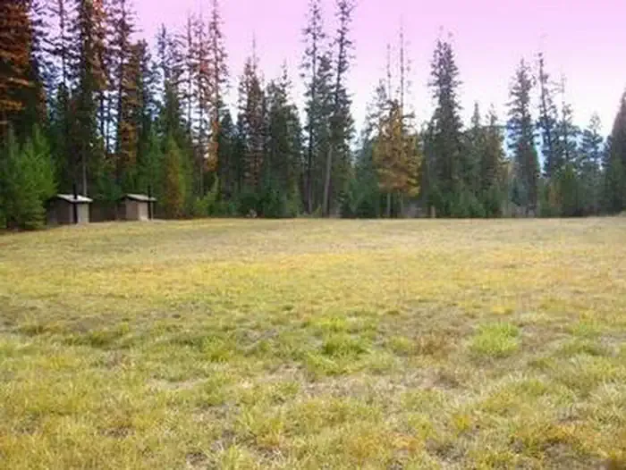 Timberlane CampgroundCampingPhoto: Recreation.gov (RIDB) / public domain8.4 mi
- Pipe CreekCanoeing8.9 mi
- Lake CreekCanoeing9.2 mi
Source: Roamze catalog (indexable pages within 10 miles, PostGIS distance)
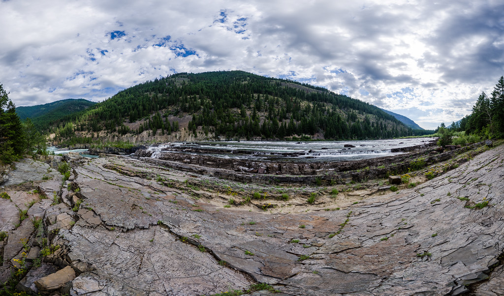 Bighorn Trail #42Hiking · ~6 min drivePhoto: Arbron, CC BY 2.0 (via Flickr)
 GrambauerHiking · ~8 min drivePhoto: Arbron, CC BY 2.0 (via Flickr)
 Sheldon Mountain Tie MHiking · ~10 min drivePhoto: Tony Webster, CC BY 2.0 (via Flickr)
- Scenery Mountain TieHiking · Next door
 Grambauer Ridge TieHiking · ~7 min drivePhoto: Forest Service - Northern Region, Public Domain Mark (via Flickr)
- Norman MountainHiking · ~4 min drive
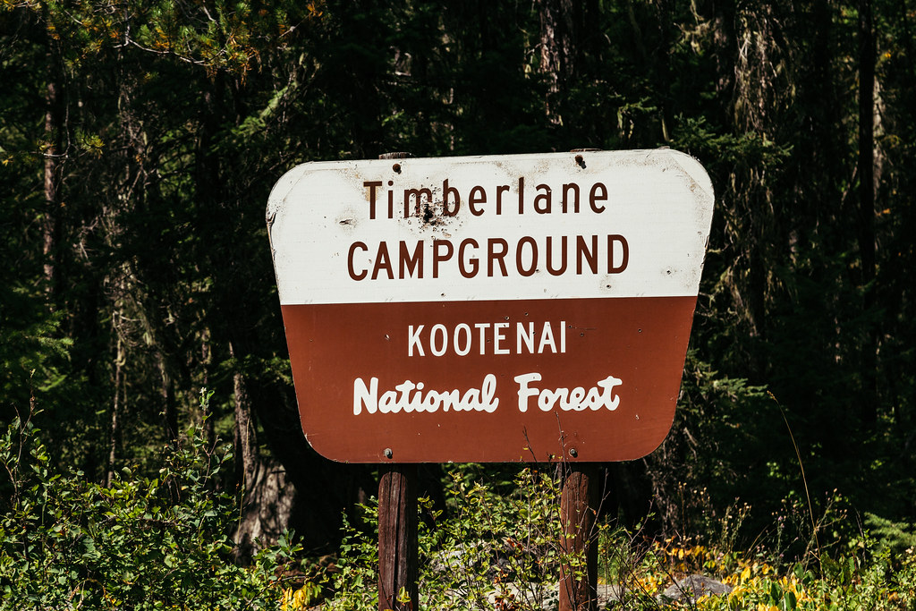 TimberlaneHiking · ~15 min drivePhoto: Tony Webster — CC BY 2.0 (via Flickr)
- Sheldon Mountain Tie JHiking · ~11 min drive
 Kootenai CreekHiking · ~8 min drivePhoto: waterarchives, CC BY-SA 2.0 (via Flickr)
- Cedar CreekHiking · ~4 min drive
Also worth it near here


Route details
- Distance
- 8.3 mi round trip
- Climbing
- About 3,770 ft
- Starts at
- SCENERY MOUNTAIN TIE TH 649A (about 4,855 ft)
- Summit
- 6,884 ft
- Difficulty
- Hard
- Time
- About 4.5 hours
Getting there
Park at SCENERY MOUNTAIN TIE TH 649A.
Questions about this route
How long is the Scenery Mountain on Scenery Mountain?
About 8.3 mi round trip from SCENERY MOUNTAIN TIE TH 649A (about 4,855 ft).
How much elevation gain is on the Scenery Mountain?
About 3,770 ft of climbing round trip.
How hard is the Scenery Mountain?
It is rated hard.
Where does the Scenery Mountain start?
SCENERY MOUNTAIN TIE TH 649A (about 4,855 ft).
How long does the Scenery Mountain take?
About 4.5 hours round trip.
