Whitefish RV Park
Campground
Campground · 6.3 mi from the trail
Alert in the area
The Forest Service lists 5 alerts for Flathead National Forest.
Camp Creek Fire Updated Trail Closure
Agency alert covering Flathead National Forest · Order 01-10- · USFS · Flathead National Forest
FK&L Area Closed to Public Access Starting July 22, 2026
Agency alert covering Flathead National Forest · Order 01-10- · USFS · Flathead National Forest
Trail 800 Tally-Ashely Closure
Agency alert covering Flathead National Forest · Order 01-10- · USFS · Flathead National Forest
Ryan Creek Occupancy and Use Order
Agency alert covering Flathead National Forest · Order 1-10- · USFS · Flathead National Forest
Logan Creek Hoke Creek Closure
Agency alert covering Flathead National Forest · Order 01-10- · USFS · Flathead National Forest
As of · Source: USFS · Flathead National Forest. Agencies don't list every closure — check before you go.
Voltage is an easy out-and-back hike in the Glacier View Ranger District of Flathead National Forest in northwest Montana, managed by the Forest Service. The trail is about 2.6 miles long, with a total climb of 343 feet and a steepest stretch of about 9% grade near the start. It is a natural-surface trail, and bikes are allowed. Summer is the most comfortable time to go. Typical averages from the nearby Whitefish weather station show July highs around 81°F with lows near 50°F, while winter brings highs in the upper 20s and regular snow days from December through February. The trail sits close to several other spots. Alder and Ohm are mountain biking areas within a mile, and the Snowberry hike is about 0.6 miles away. Bad Rock Canyon, a climbing area, is roughly 4.6 miles off.
Whitefish RV Park
Campground
The Bruck Bus-Truck
Attraction
Places © OpenStreetMap contributors
More in WhitefishNot on Roamze yet. Their page has how to reach them.
Best months: May and July–September. Best months have typical highs of 55–85 °F, lows of 30 °F or warmer (32 °F where the station doesn't record snow), at most one snowy day and no more than 12 wet days.
Jan
29° / 16°
12 wet · 9 snow
Feb
34° / 16°
9 wet · 6 snow
Mar
43° / 23°
10 wet · 4 snow
Apr
53° / 30°
10 wet · 1 snow
May
63° / 39°
12 wet
Jun
70° / 45°
13 wet
Jul
81° / 50°
8 wet
Aug
80° / 48°
7 wet
Sep
69° / 40°
7 wet
Oct
53° / 31°
9 wet · 1 snow
Nov
38° / 24°
10 wet · 4 snow
Dec
29° / 18°
12 wet · 9 snow
Typical high / low (°F) and days with rain or snow, 1991–2020. Measured at Whitefish, MT, 7.3 mi away at 3,100 ft. Source: NOAA NCEI U.S. Climate Normals 1991–2020.
 Photo: cjennr76, CC BY 2.0 (via Flickr)
Dakota Ave Shared Use Path
~12 min drive
0.78-mile out-and-back trail in Montana with 57 ft elevation gain.
 Photo: Forest Service - Northern Region, Public Domain Mark (via Flickr)
Old Flathead River RS
~13 min drive
16.54-mile out-and-back trail in Montana with 430 ft elevation gain.
 Photo: jasonwoodhead23, CC BY 2.0 (via Flickr)
Reservoir Trail
~14 min drive
10.04-mile out-and-back hike in Montana with 2,396 ft elevation gain and loss.
 Photo: Donnie Clapp for Whitefish Mountain Resort, CC BY-SA 4.0 (via Wikimedia Commons)
Runaway Train
~16 min drive
5.77-mile out-and-back trail in Montana with 678 ft gain and 2,454 ft loss.
Photo: cjennr76, CC BY 2.0 (via Flickr)Fish Trails Bike and Pedestrian Path
~12 min drive
1.6-mile out-and-back trail in Montana with 151 ft elevation gain
 Photo: Slipshod Photog, CC BY 2.0 (via Flickr)
Danny on - Long Way
~15 min drive
3.60-mile out-and-back trail in Montana with 572 ft gain.
Photo: Donnie Clapp for Whitefish Mountain Resort, CC BY-SA 4.0 (via Wikimedia Commons)Kashmir
~16 min drive
6.64-mile out-and-back trail in Montana with 248 ft gain and 1,682 ft loss.
 Photo: Ken Lund, CC BY-SA 2.0 (via Flickr)
COLUMBIA MTN. LOOP
~7 min drive
20.1-mile out-and-back out-and-back in Montana with 7,758 ft elevation gain
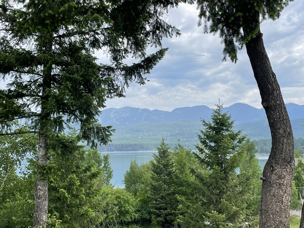 Photo: cjennr76, CC BY 2.0 (via Flickr)
State Park Shared Use Path
~13 min drive
1.84-mile out-and-back trail in Montana with 156 ft elevation gain
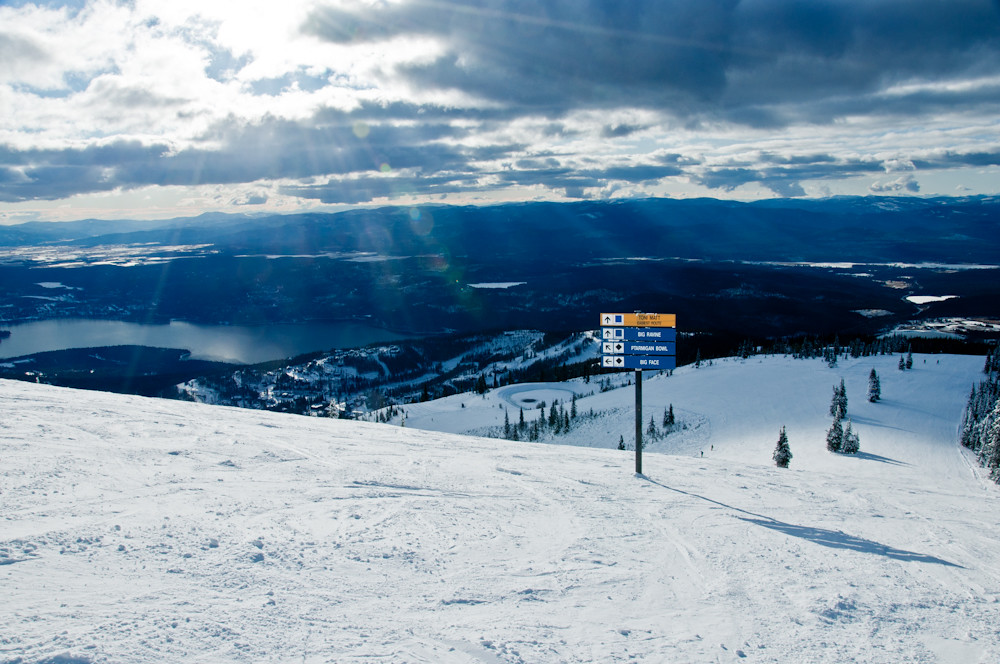 Photo: Slipshod Photog, CC BY 2.0 (via Flickr)
Freebird
~16 min drive
4.70-mile out-and-back trail in Montana with 350 ft gain and 2,002 ft loss.
