Mountain Meadow RV Park & Cabins
Campground
Campground · 3.4 mi from the trail
 Photo: Ken Lund, CC BY-SA 2.0 (via Flickr)
Alert in the area
The Forest Service lists 6 alerts for Flathead National Forest.
Ashley Lake North Campground Closure
Agency alert covering Flathead National Forest · Order 01-10- · USFS · Flathead National Forest
Camp Creek Fire Updated Trail Closure
Agency alert covering Flathead National Forest · Order 01-10- · USFS · Flathead National Forest
FK&L Area Closed to Public Access Starting July 22, 2026
Agency alert covering Flathead National Forest · Order 01-10- · USFS · Flathead National Forest
Trail 800 Tally-Ashely Closure
Agency alert covering Flathead National Forest · Order 01-10- · USFS · Flathead National Forest
Ryan Creek Occupancy and Use Order
Agency alert covering Flathead National Forest · Order 1-10- · USFS · Flathead National Forest
As of · Source: USFS · Flathead National Forest. Agencies don't list every closure — check before you go.
Columbia Mt. Loop is an expert-level out-and-back hike in the Hungry Horse Ranger District of Montana's Flathead National Forest, managed by the Forest Service. The route covers about 20 miles and rises from a low point of 3,762 feet to a high of 7,129 feet, with a total elevation gain of 7,758 feet over the full trip. That makes it a serious objective rather than a short outing, and it takes about 10.5 hours to complete. The steepest stretch comes at about 6.8 miles in, where the grade reaches 47 percent. The climb is steep and long, so plan on time, endurance and supplies for a full day on the trail. Bad Rock Canyon, a climbing area, sits less than a mile away. The Dam Loop hike and the Turkey Trot mountain biking trail are both about 3.5 miles off. For camping, Doris Creek Campground is roughly 8 miles away.
Mountain Meadow RV Park & Cabins
Campground
The Bruck Bus-Truck
Attraction
Places © OpenStreetMap contributors, Places © Overture Maps Foundation
More in WhitefishNot on Roamze yet. Their page has how to reach them.
Daily highs and lows, wind and the chance of precipitation at the summit and route start for the next 7 days, from the Open-Meteo model.
 Doris Creek CampgroundCampingPhoto: Recreation.gov (RIDB) / public domain7.9 mi
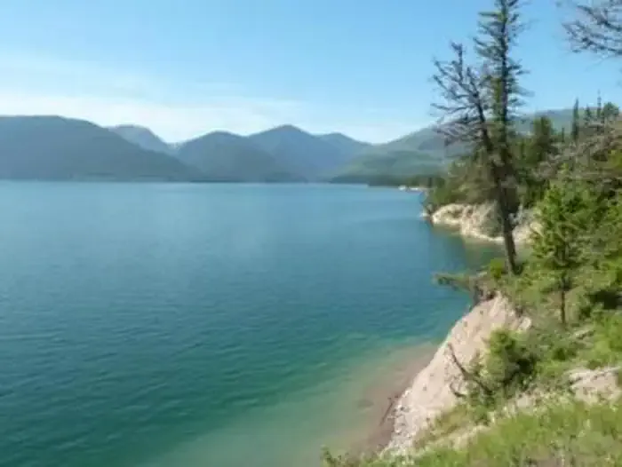 Emery Bay CampgroundCampingPhoto: Recreation.gov (RIDB) / public domain8.2 mi
Source: Roamze catalog (indexable pages within 10 miles, PostGIS distance)
 Old Flathead River RSHiking · ~12 min drivePhoto: Forest Service - Northern Region, Public Domain Mark (via Flickr)
 Apgar Flats HorseHiking · ~19 min drivePhoto: Martha de Jong-Lantink, Public Domain Mark (via Flickr)
 Ousel Peak - WestHiking · ~17 min drivePhoto: Forest Service - Northern Region, Public Domain Mark (via Flickr)
 Dakota Ave Shared Use PathHiking · ~19 min drivePhoto: cjennr76, CC BY 2.0 (via Flickr)Fish Trails Bike and Pedestrian PathHiking · ~19 min drivePhoto: cjennr76, CC BY 2.0 (via Flickr)
About 10.1 mi round trip.
About 7,758 ft of climbing round trip.
It is rated expert.
About 5.5 hours round trip.
