Whitefish Lake State Park Campground
Campground
Campground · 1.0 mi from the trail
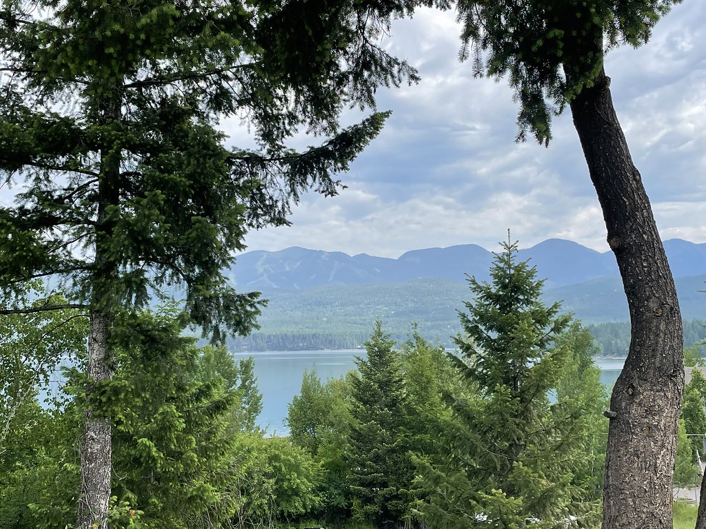 Photo: cjennr76, CC BY 2.0 (via Flickr)
The State Park Shared Use Path is a short, easy walk in Montana, about a mile from Whitefish. It is an out-and-back route of roughly 1.8 miles, with a total elevation gain of about 156 feet. The path starts near 3,100 feet and reaches a high point of about 3,113 feet before returning to the starting elevation. Summer is the most comfortable time to go. Typical averages from a nearby weather station in Whitefish show July highs around 81°F with lows near 50°F, and August is similar at about 80°F. Winters are cold, with January highs near 29°F and about nine snowy days. The trip takes about half an hour. The Fish Trails Bike and Pedestrian Path and the Whitefish Trail - Lion Mountain are both about 0.8 miles away, and the Dakota Ave Shared Use Path is about 1.1 miles off. The Whitefish Trail - Skyles Lake Overlook is about 1.2 miles away.
Whitefish Lake State Park Campground
Campground
Whitefish Lake Restaurant
Restaurant
Dick Idol Signature Gallery
Gallery
Places © OpenStreetMap contributors
More in WhitefishNot on Roamze yet. Their page has how to reach them.
 Fish Trails Bike and Pedestrian PathHikingPhoto: cjennr76, CC BY 2.0 (via Flickr)0.8 miDakota Ave Shared Use PathHikingPhoto: cjennr76, CC BY 2.0 (via Flickr)1.1 mi
Source: Roamze catalog (indexable pages within 10 miles, PostGIS distance)
Fish Trails Bike and Pedestrian PathHiking · ~1 min drivePhoto: cjennr76, CC BY 2.0 (via Flickr) Reservoir TrailHiking · ~7 min drivePhoto: jasonwoodhead23, CC BY 2.0 (via Flickr)
 Runaway TrainHiking · ~11 min drivePhoto: Donnie Clapp for Whitefish Mountain Resort, CC BY-SA 4.0 (via Wikimedia Commons)
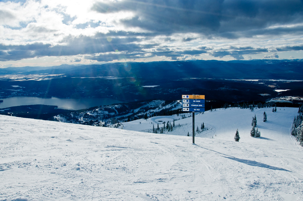 FreebirdHiking · ~11 min drivePhoto: Slipshod Photog, CC BY 2.0 (via Flickr)Dakota Ave Shared Use PathHiking · ~2 min drivePhoto: cjennr76, CC BY 2.0 (via Flickr)KashmirHiking · ~11 min drivePhoto: Donnie Clapp for Whitefish Mountain Resort, CC BY-SA 4.0 (via Wikimedia Commons)
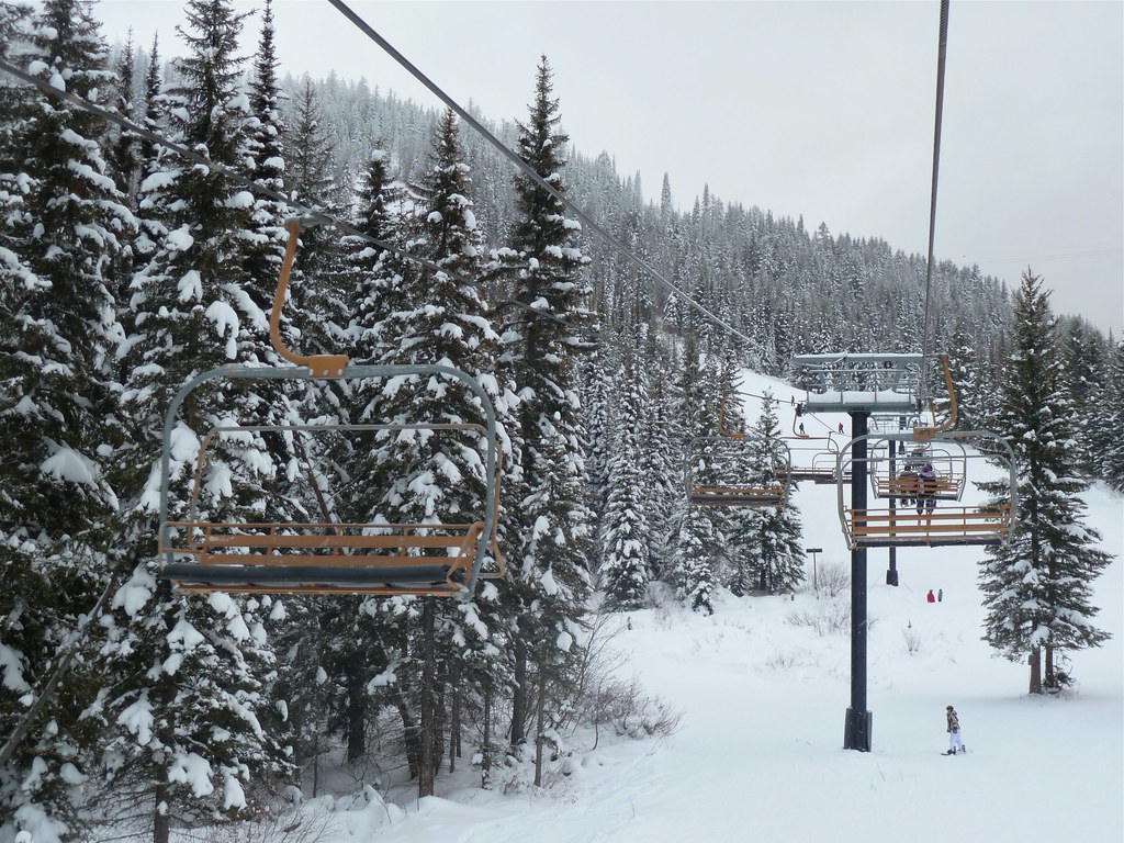 Whitefish TrailHiking · ~7 min drivePhoto: roy.luck, CC BY 2.0 (via Flickr)
Best months: May and July–September. Best months have typical highs of 55–85 °F, lows of 30 °F or warmer (32 °F where the station doesn't record snow), at most one snowy day and no more than 12 wet days.
Jan
29° / 16°
12 wet · 9 snow
Feb
34° / 16°
9 wet · 6 snow
Mar
43° / 23°
10 wet · 4 snow
Apr
53° / 30°
10 wet · 1 snow
May
63° / 39°
12 wet
Jun
70° / 45°
13 wet
Jul
81° / 50°
8 wet
Aug
80° / 48°
7 wet
Sep
69° / 40°
7 wet
Oct
53° / 31°
9 wet · 1 snow
Nov
38° / 24°
10 wet · 4 snow
Dec
29° / 18°
12 wet · 9 snow
Typical high / low (°F) and days with rain or snow, 1991–2020. Measured at Whitefish, MT, 0.4 mi away at 3,100 ft. Source: NOAA NCEI U.S. Climate Normals 1991–2020.
Map and trail data © OpenStreetMap contributors
