Holbrook-2
Campground
Campground · 2.7 mi from the trail
 Photo: Slipshod Photog, CC BY 2.0 (via Flickr)
Alert in the area
The Forest Service lists 6 alerts for Flathead National Forest.
Ashley Lake North Campground Closure
Agency alert covering Flathead National Forest · Order 01-10- · USFS · Flathead National Forest
Camp Creek Fire Updated Trail Closure
Agency alert covering Flathead National Forest · Order 01-10- · USFS · Flathead National Forest
FK&L Area Closed to Public Access Starting July 22, 2026
Agency alert covering Flathead National Forest · Order 01-10- · USFS · Flathead National Forest
Trail 800 Tally-Ashely Closure
Agency alert covering Flathead National Forest · Order 01-10- · USFS · Flathead National Forest
Ryan Creek Occupancy and Use Order
Agency alert covering Flathead National Forest · Order 1-10- · USFS · Flathead National Forest
As of · Source: USFS · Flathead National Forest. Agencies don't list every closure — check before you go.
Danny on - Long Way is a 3.6-mile out-and-back hike in the Tally Lake Ranger District of Flathead National Forest in northwest Montana, managed by the Forest Service. The trail rises from about 6,140 feet to about 6,660 feet, with a total elevation gain of 572 feet, and is rated moderate. The route is natural-surfaced and does not allow bikes. It makes a straightforward day hike for anyone already exploring the surrounding area, which is packed with other trails and access points. The Bigfoot T-Bar (T-bar 2) sits just 0.1 mile away, and Chair 11 Flower Point and the Flower Point mountain biking trail are each about 0.4 mile off. For a longer stay, Moose Lake Campground is about 9 miles away.
Holbrook-2
Campground
Summit House
Restaurant
Places © OpenStreetMap contributors
More in WhitefishNot on Roamze yet. Their page has how to reach them.
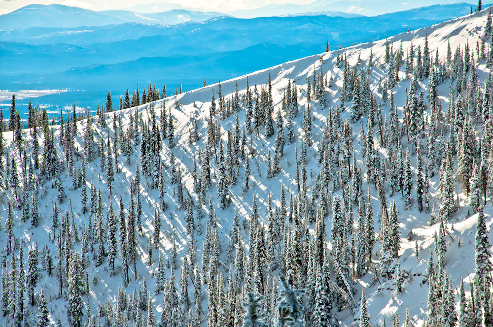 East Rim LoopHikingPhoto: Slipshod Photog, CC BY 2.0 (via Flickr)0.6 mi
Source: Roamze catalog (indexable pages within 10 miles, PostGIS distance)
 Runaway TrainHiking · ~1 min drivePhoto: Donnie Clapp for Whitefish Mountain Resort, CC BY-SA 4.0 (via Wikimedia Commons)KashmirHiking · ~2 min drivePhoto: Donnie Clapp for Whitefish Mountain Resort, CC BY-SA 4.0 (via Wikimedia Commons)
 SUMMIT HOUSE SMHiking · ~3 min drivePhoto: Slipshod Photog, CC BY 2.0 (via Flickr)
 Journey TrailHiking · ~3 min drivePhoto: jasonwoodhead23, CC BY 2.0 (via Flickr)WARMING HUT LOOPHiking · ~2 min drivePhoto: Donnie Clapp for Whitefish Mountain Resort, CC BY-SA 4.0 (via Wikimedia Commons)
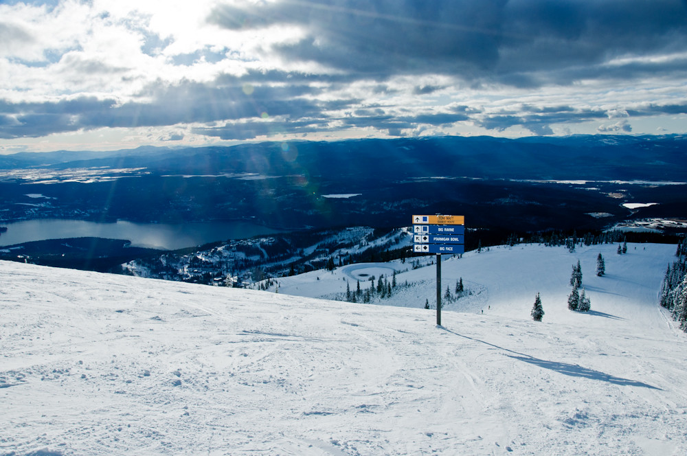 FreebirdHiking · ~1 min drivePhoto: Slipshod Photog, CC BY 2.0 (via Flickr)
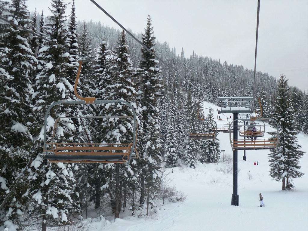 Arnica Ridge TrailHiking · ~4 min drivePhoto: roy.luck, CC BY 2.0 (via Flickr)Reservoir TrailHiking · ~4 min drivePhoto: jasonwoodhead23, CC BY 2.0 (via Flickr)
