Vinegar Mtn.
- 21.2 mi
- round trip
- 1,710 ft
- climb
- 7,223 ft
- high point
- Out and back
- route
Is Vinegar Mtn. open right now?
Alert in the area
The Forest Service lists 5 alerts for Flathead National Forest.
Camp Creek Fire Updated Trail Closure
Agency alert covering Flathead National Forest · Order 01-10- · USFS · Flathead National Forest
FK&L Area Closed to Public Access Starting July 22, 2026
Agency alert covering Flathead National Forest · Order 01-10- · USFS · Flathead National Forest
Trail 800 Tally-Ashely Closure
Agency alert covering Flathead National Forest · Order 01-10- · USFS · Flathead National Forest
Ryan Creek Occupancy and Use Order
Agency alert covering Flathead National Forest · Order 1-10- · USFS · Flathead National Forest
Logan Creek Hoke Creek Closure
Agency alert covering Flathead National Forest · Order 01-10- · USFS · Flathead National Forest
As of · Source: USFS · Flathead National Forest. Agencies don't list every closure — check before you go.
Vinegar Mtn. is a hard hike in the Great Bear Wilderness, part of the Hungry Horse Ranger District of Flathead National Forest in northwest Montana. The Forest Service manages the land, and the trail is a natural-surface out-and-back that climbs from about 4,100 feet to roughly 7,200 feet over a round-trip distance of about 21 miles. The route is rated hard, and the climb totals about 1,700 feet one way. Horses are allowed, but bikes are not. That makes the trail a good fit for riders on horseback or on foot, and the wilderness setting adds to the sense of a remote backcountry journey. Several other hikes sit close by. Long Creek is about half a mile away, Charlie Creek is about 0.7 miles away, and Spruce Lookout is about 1.2 miles away. For an overnight base, Devil Creek Campground is about 6.7 miles away.
Local outfitters
- North American RV Park & Yurt Village30 mi away
- Rocky Mountain Outfitter36 mi away
Not on Roamze yet. Their page has how to reach them.
- Long CreekHiking0.5 mi
- Charlie CreekHiking0.7 mi
- Spruce LookoutHiking1.2 mi
- Spruce CrossingHiking2.4 mi
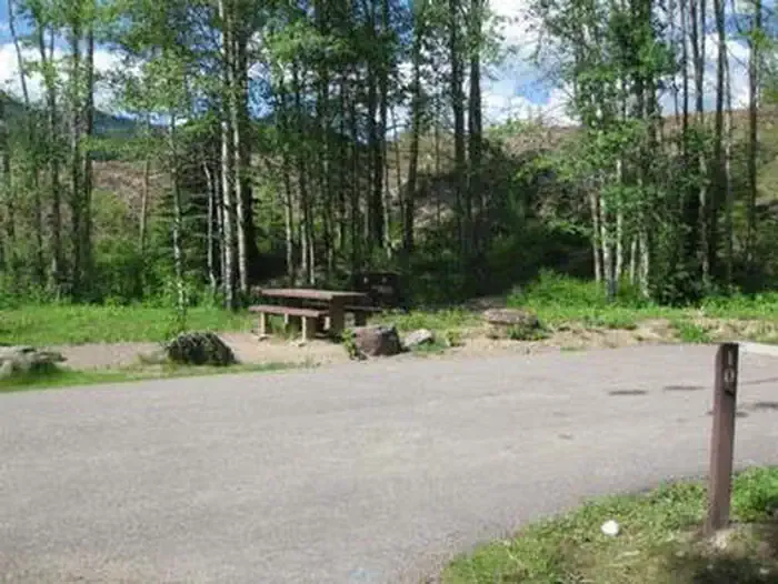 Devil Creek CampgroundCampingPhoto: Recreation.gov (RIDB) / public domain6.7 mi
- Bear CreekCanoeing8.1 mi
- Devil's Corkscrew CampgroundCamping8.2 mi
- Zips Place CabinCamping8.6 mi
Source: Roamze catalog (indexable pages within 10 miles, PostGIS distance)
 Java Mtn.Hiking · ~8 min drivePhoto: Loco Steve, CC BY 3.0 (via Wikimedia Commons)
- Java CreekHiking · ~9 min drivePhoto: Loco Steve, CC BY 3.0 (via Wikimedia Commons)
 Castle LakeHiking · ~11 min drivePhoto: Forest Service - Northern Region, Public Domain Mark (via Flickr)
- Edna Creek TrailHiking · ~6 min drive
 South BoundaryHiking · ~13 min drivePhoto: GlacierNPS, Public Domain Mark (via Flickr)
 ScalplockHiking · ~14 min drivePhoto: Forest Service - Northern Region, Public Domain Mark (via Flickr)
- Spruce LookoutHiking · ~2 min drive
- Logan-DirtyfaceHiking · ~7 min drive
- Ole CreekHiking · ~14 min drivePhoto: GlacierNPS, Public Domain Mark (via Flickr)
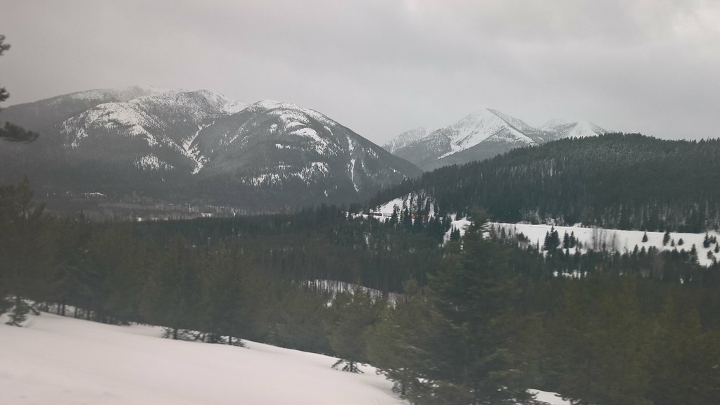 Elk MountainHiking · ~15 min drivePhoto: JimsFlicker, CC BY 2.0 (via Flickr)
