Ole Creek
 Photo: GlacierNPS, Public Domain Mark (via Flickr)
- 16.6 mi
- round trip
- 5,353 ft
- climb
- 6,933 ft
- high point
- Out and back
- route
Caution at last check
Weather is marginal · OpenWeather · checked 15 h ago
Is Ole Creek open right now?
Closure in the area
There's a closure order in Glacier National Park. It doesn't name Ole Creek, so check the source for the area it covers.
Going-to-the-Sun Road Seasonal Closure
Park closure covering Glacier National Park · NPS · Glacier National Park
As of · Source: NPS · Glacier National Park. Agencies don't list every closure — check before you go.
Ole Creek is a long, steep out-and-back hike in Glacier National Park in Montana, managed by the National Park Service. The route starts at about 4,043 feet and climbs to a high point of 6,933 feet, with a total elevation gain of 5,353 feet over the course of the trip. The steepest stretch comes around mile 15, where the grade reaches 34 percent, and the round-trip distance is about 33 miles. The hike is rated expert, and the estimated time is about 13.5 hours. Plan for a full day or more, with plenty of time to rest and take in the high-country setting. Several other hikes lie within a few miles, including Park Creek at 1.8 miles and Marion Lake at 2.5 miles. Java Creek is about 3.3 miles away, and Devil Creek Campground, about 6.2 miles off, offers a place to camp.
Local outfitters
- North American RV Park & Yurt Village23 mi away
- Rocky Mountain Outfitter34 mi away
Not on Roamze yet. Their page has how to reach them.
 Park CreekHikingPhoto: Forest Service - Northern Region, Public Domain Mark (via Flickr)1.8 mi
- Marion LakeHiking2.5 mi
- Sheep - Elk LoopHiking2.6 mi
 Java CreekHikingPhoto: Loco Steve, CC BY 3.0 (via Wikimedia Commons)3.3 mi
- Java Mtn.HikingPhoto: Loco Steve, CC BY 3.0 (via Wikimedia Commons)3.6 mi
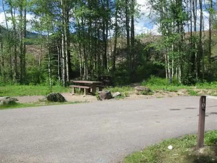 Devil Creek CampgroundCampingPhoto: Recreation.gov (RIDB) / public domain6.2 mi
- Bear CreekCanoeing6.5 mi
- Zips Place CabinCamping8.2 mi
Source: Roamze catalog (indexable pages within 10 miles, PostGIS distance)
- ScalplockHiking · Next doorPhoto: Forest Service - Northern Region, Public Domain Mark (via Flickr)
- South BoundaryHiking · ~1 min drivePhoto: GlacierNPS, Public Domain Mark (via Flickr)
 Autumn CreekHiking · ~18 min drivePhoto: w_lemay, CC BY-SA 2.0 (via Flickr)
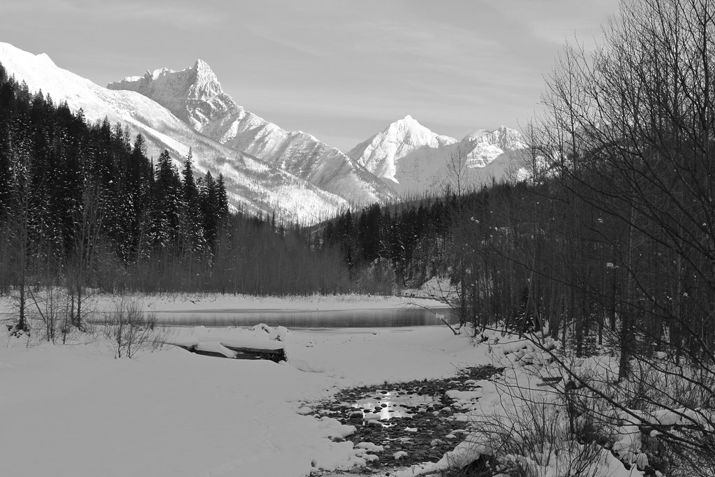 Coal Creek CrossingHiking · ~18 min drivePhoto: roy.luck, CC BY 2.0 (via Flickr)
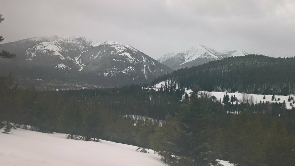 Elk MountainHiking · ~10 min drivePhoto: JimsFlicker, CC BY 2.0 (via Flickr)
- Park CreekHiking · ~3 min drivePhoto: Forest Service - Northern Region, Public Domain Mark (via Flickr)
- Tunnel CreekHiking · ~11 min drive
- Logan-DirtyfaceHiking · ~7 min drive
- Java CreekHiking · ~6 min drivePhoto: Loco Steve, CC BY 3.0 (via Wikimedia Commons)
- Coal CreekHiking · ~18 min drivePhoto: roy.luck, CC BY 2.0 (via Flickr)
Map and trail data © OpenStreetMap contributors
